FAQ
Can I use these maps for a standardized test prep workshop where students practice identifying rivers or mountain ranges?
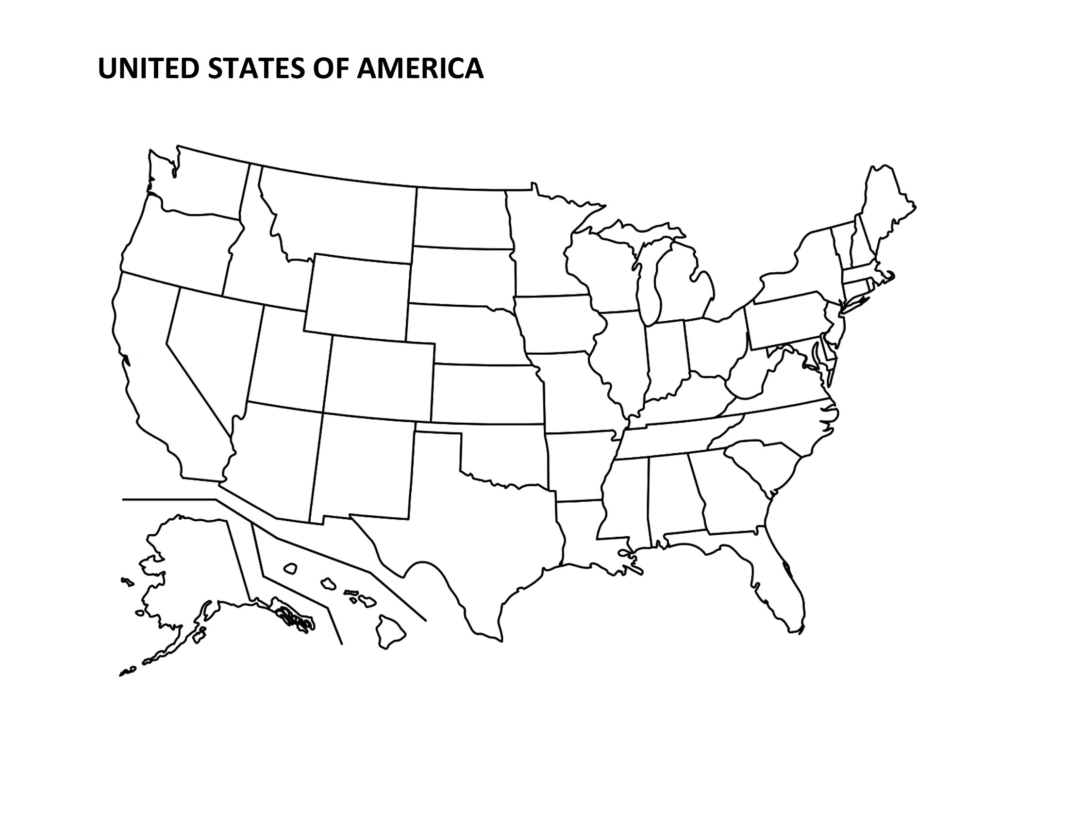
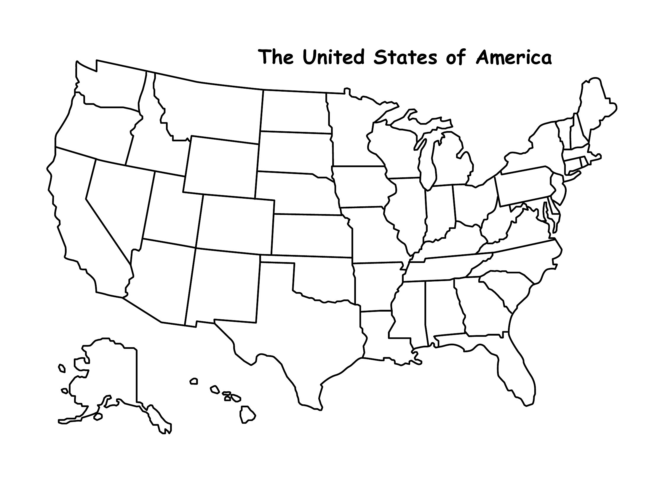
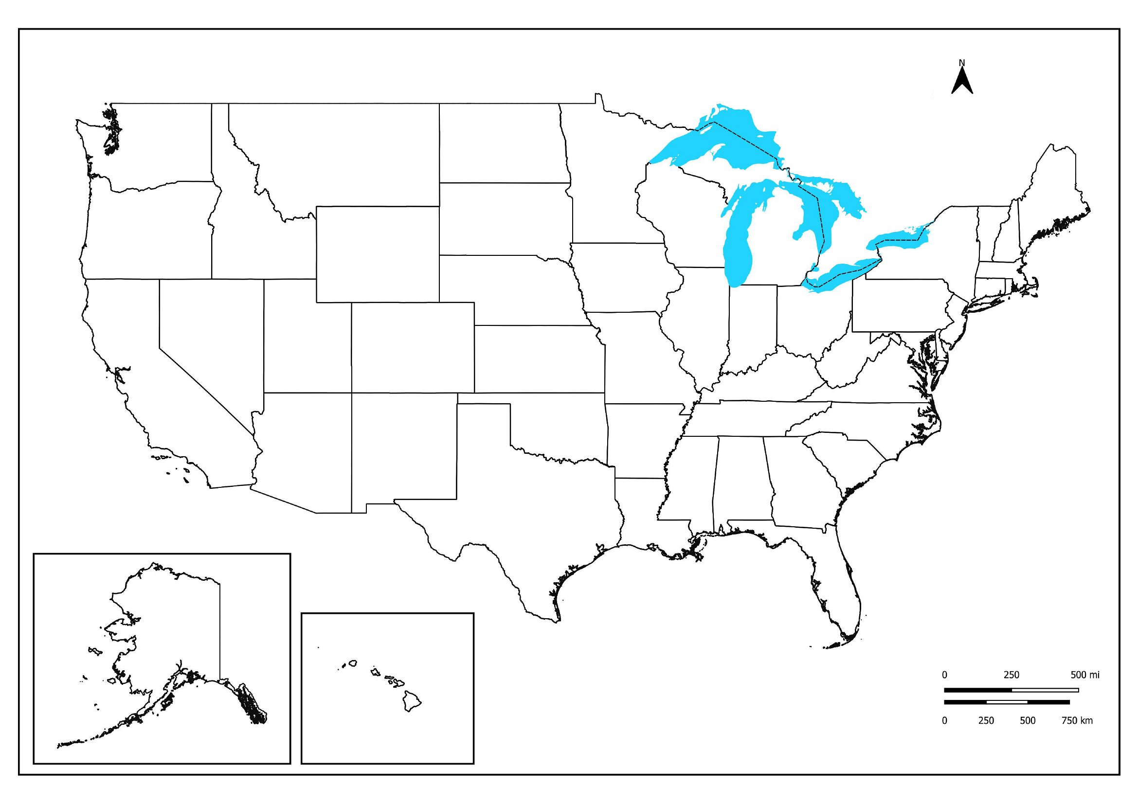
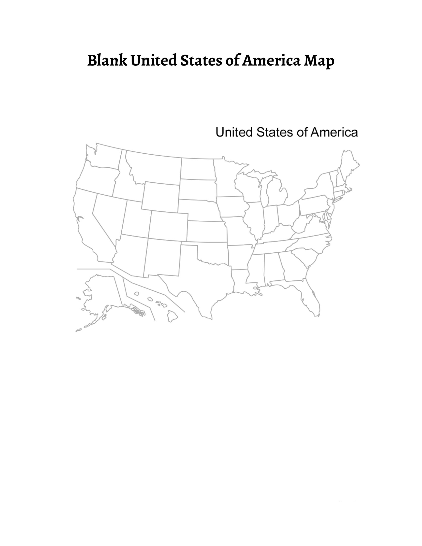
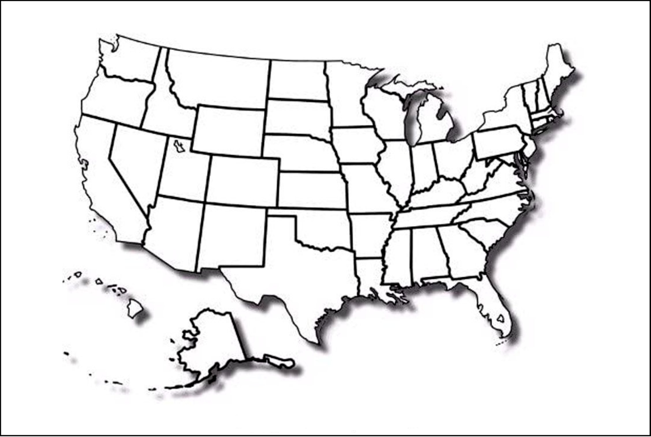
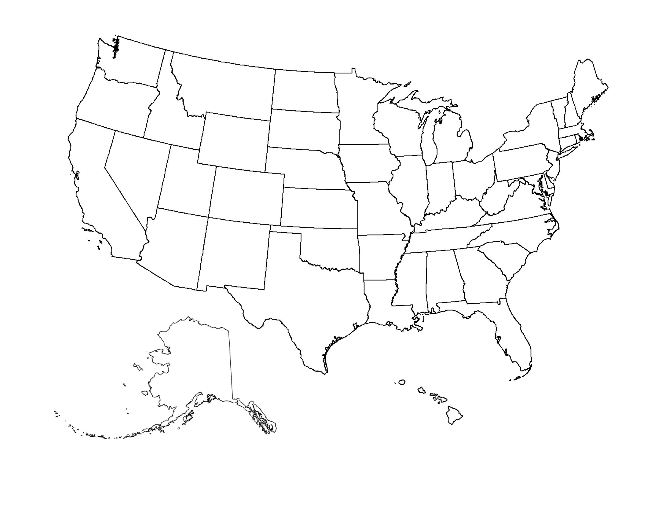
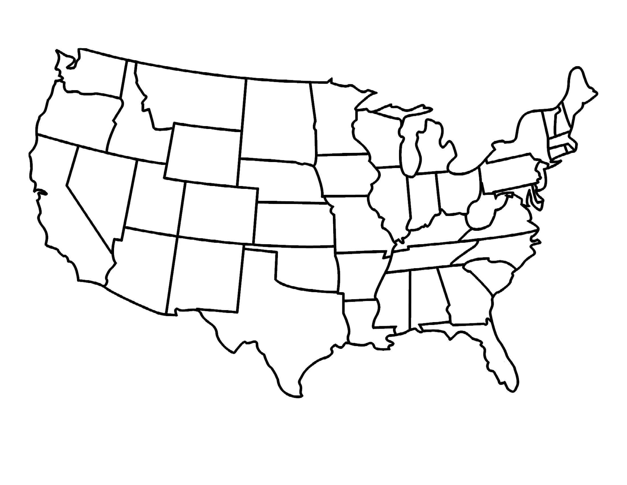
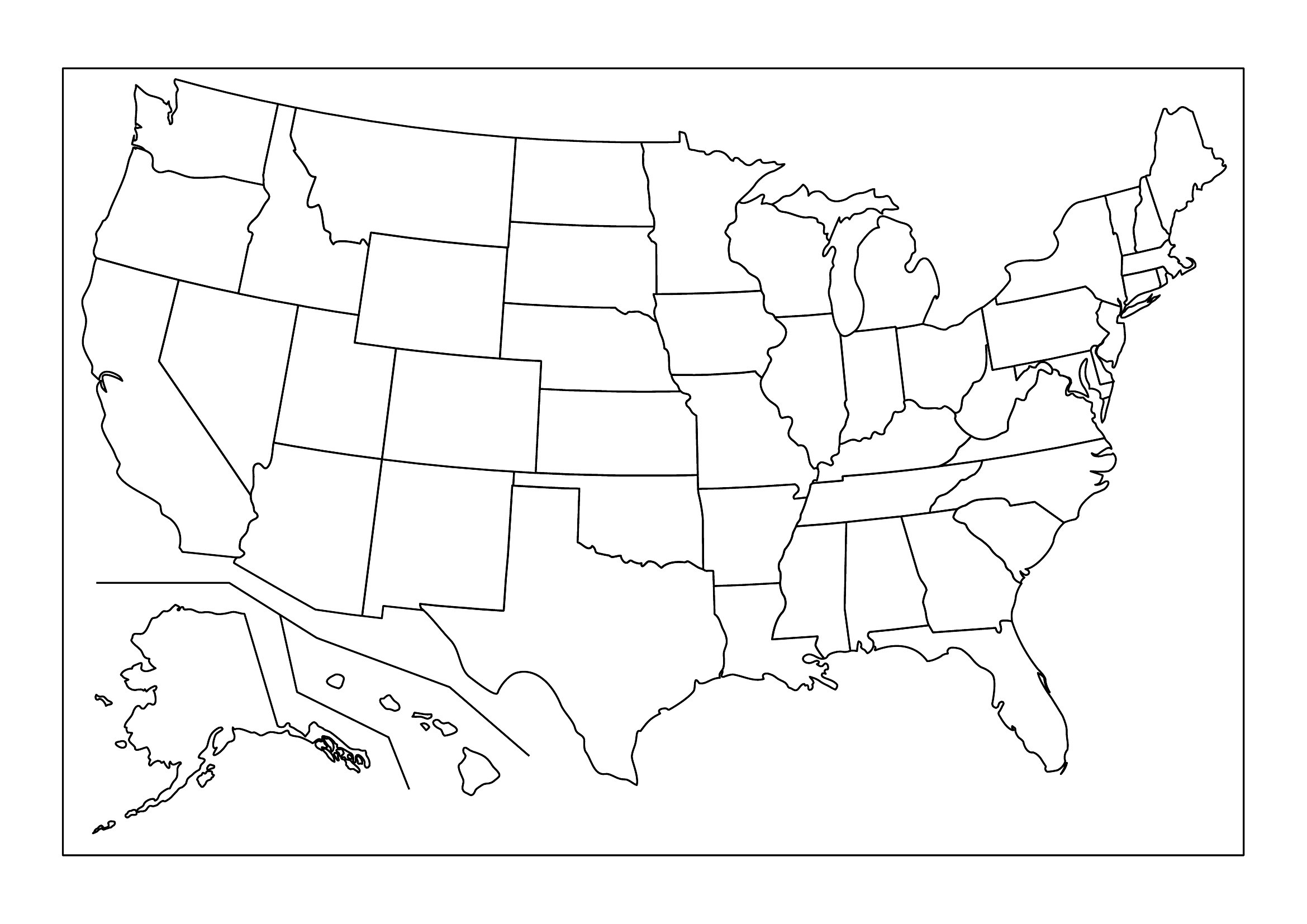
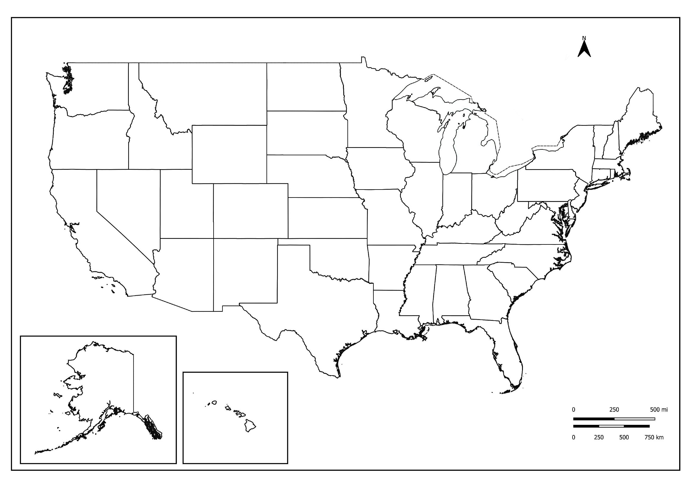
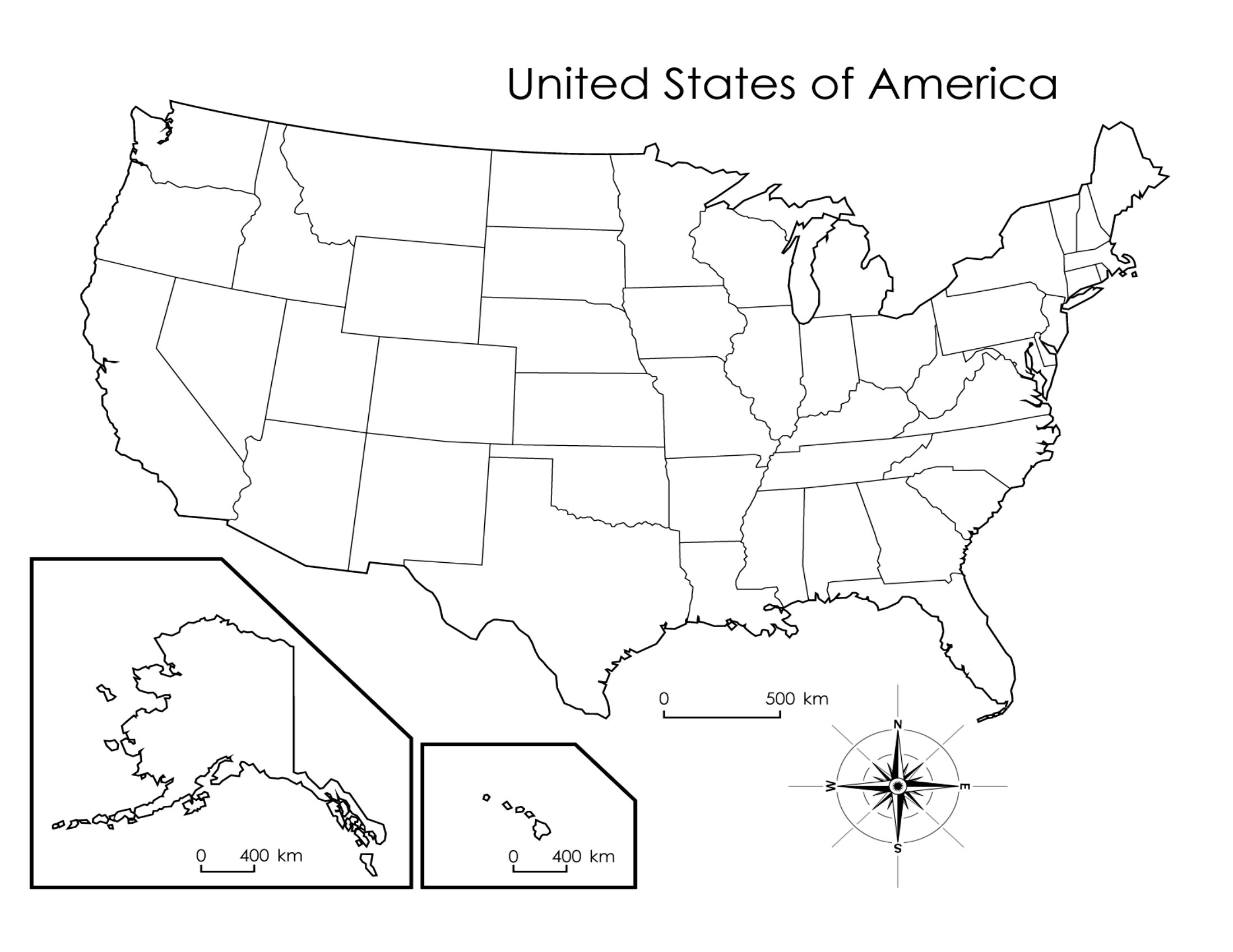
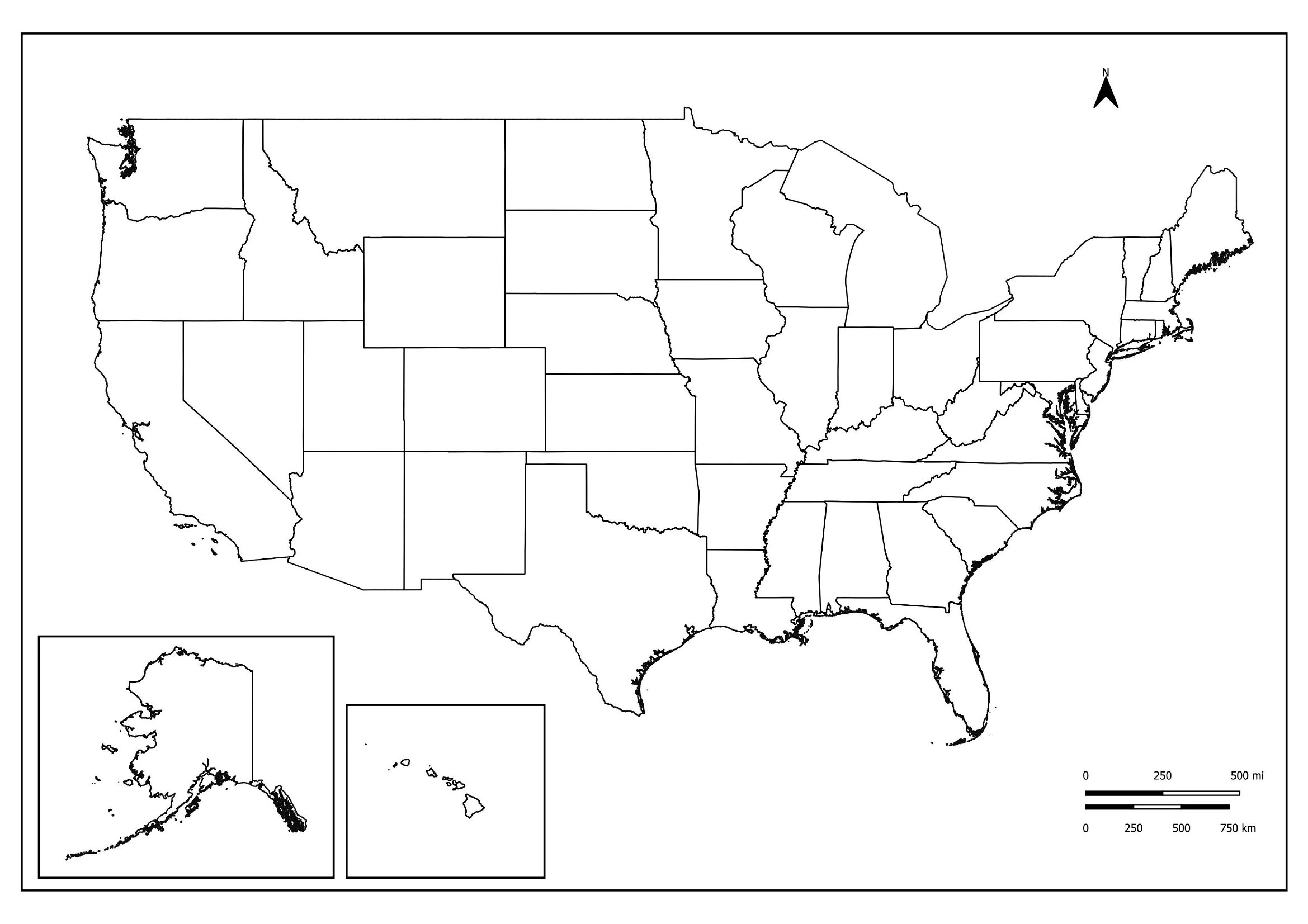
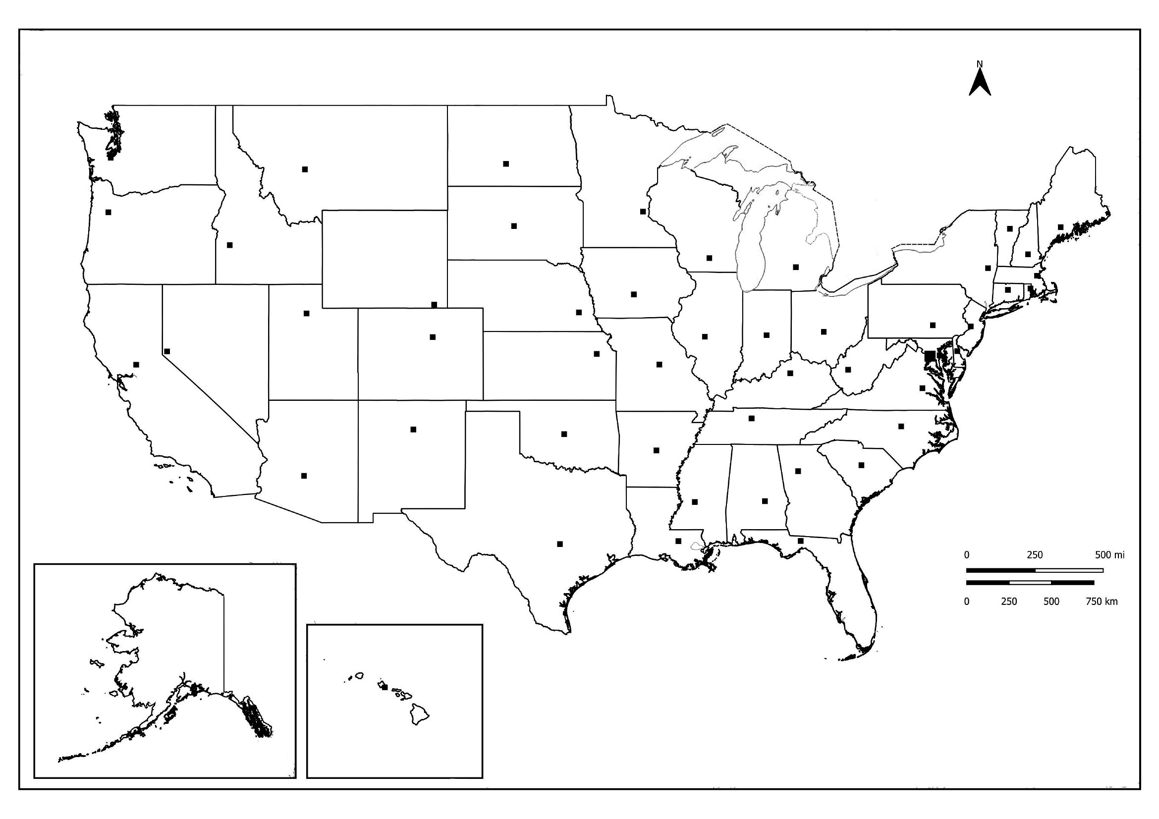
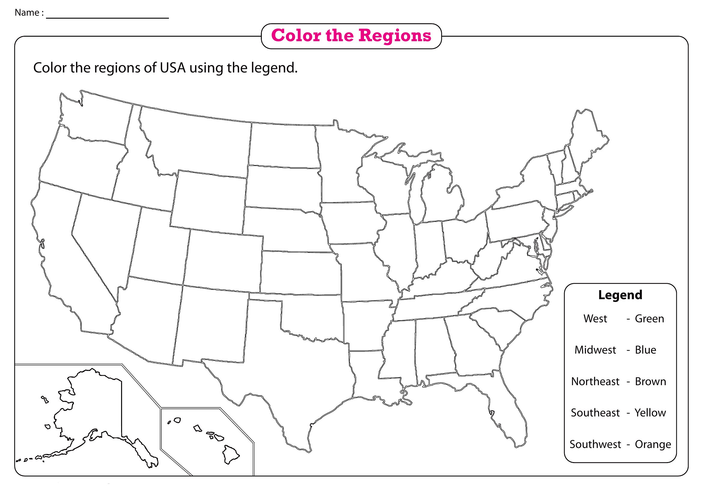
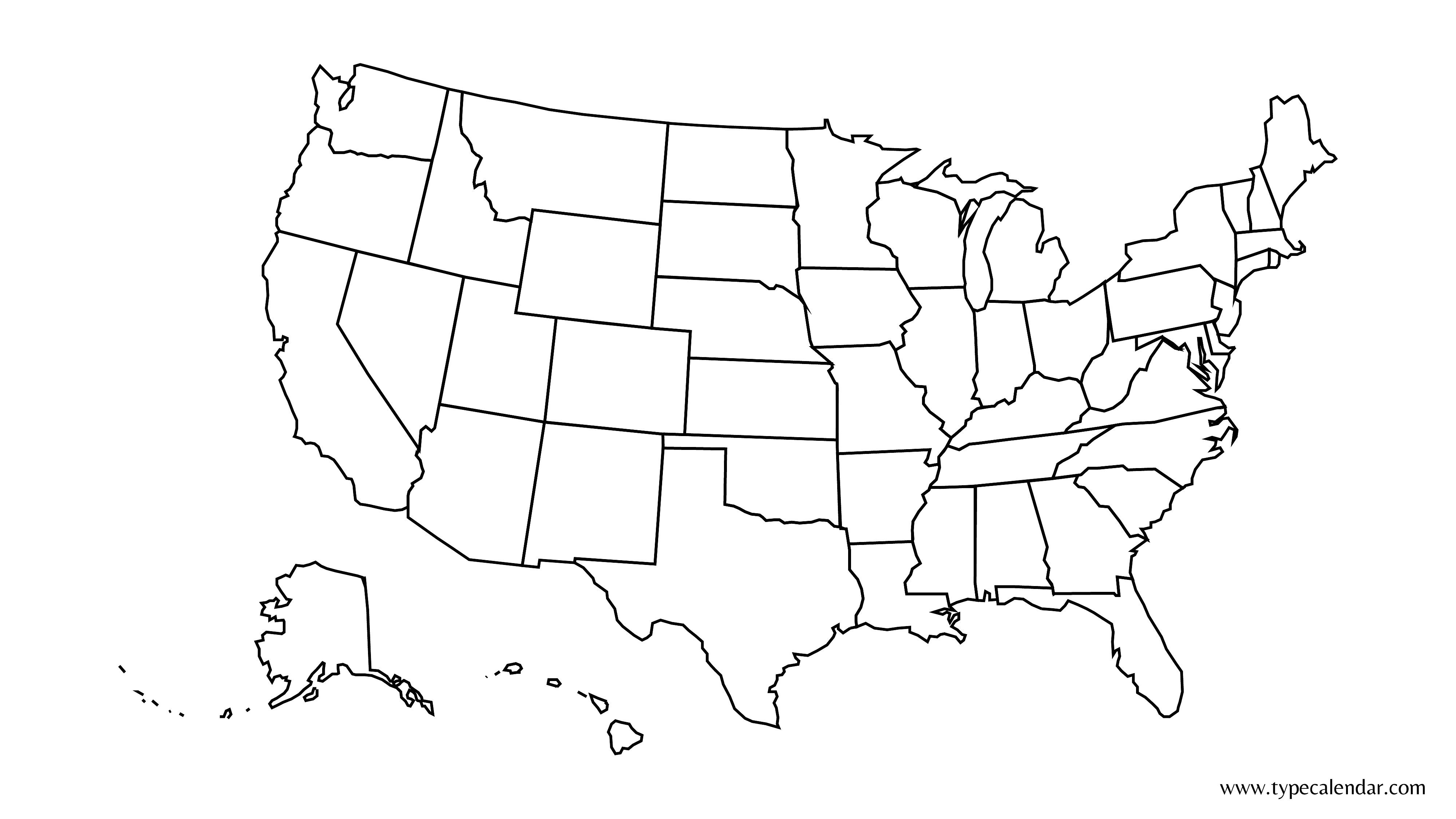
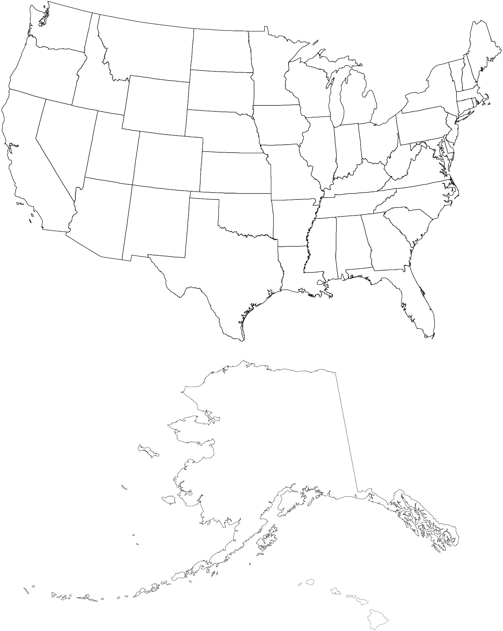
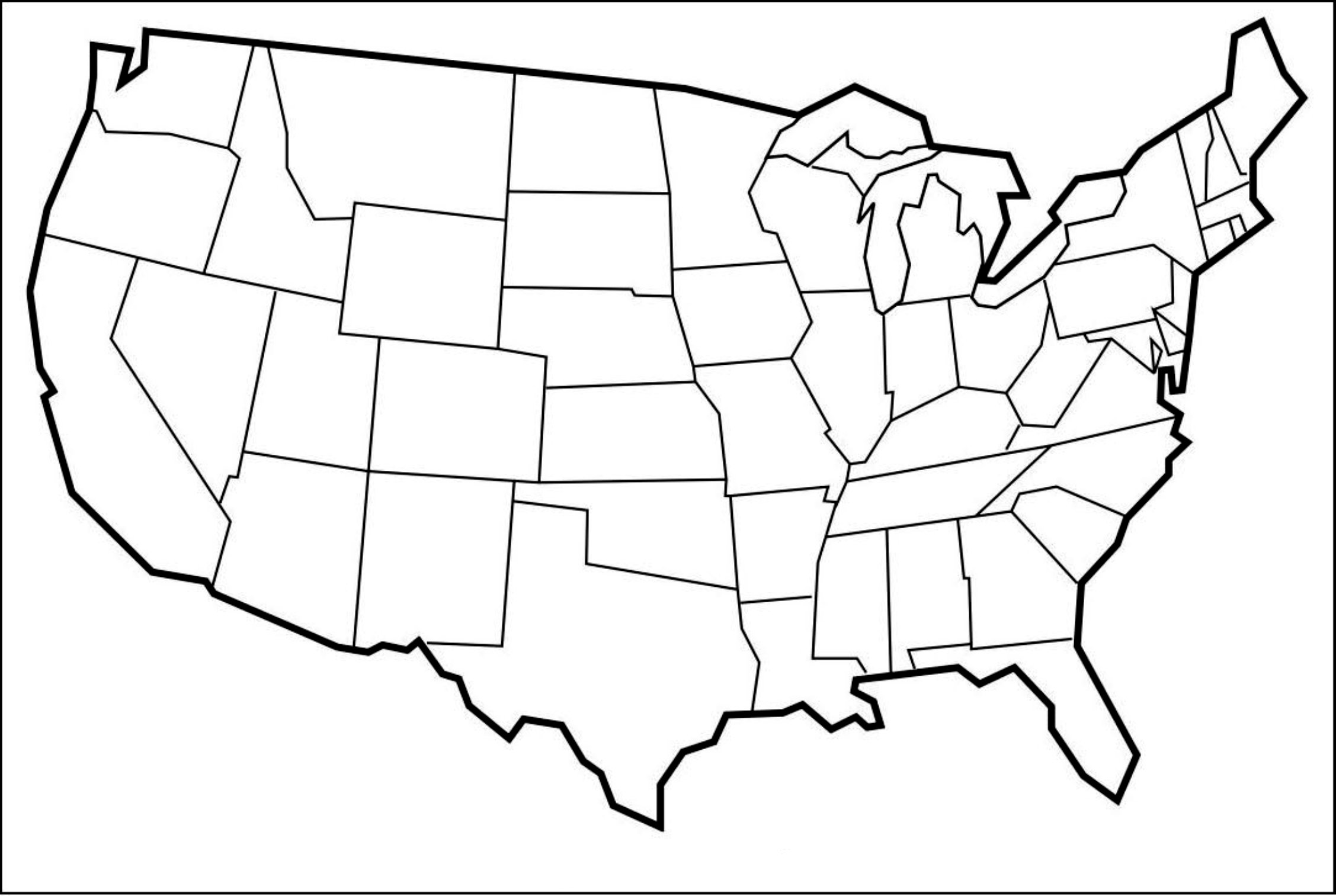
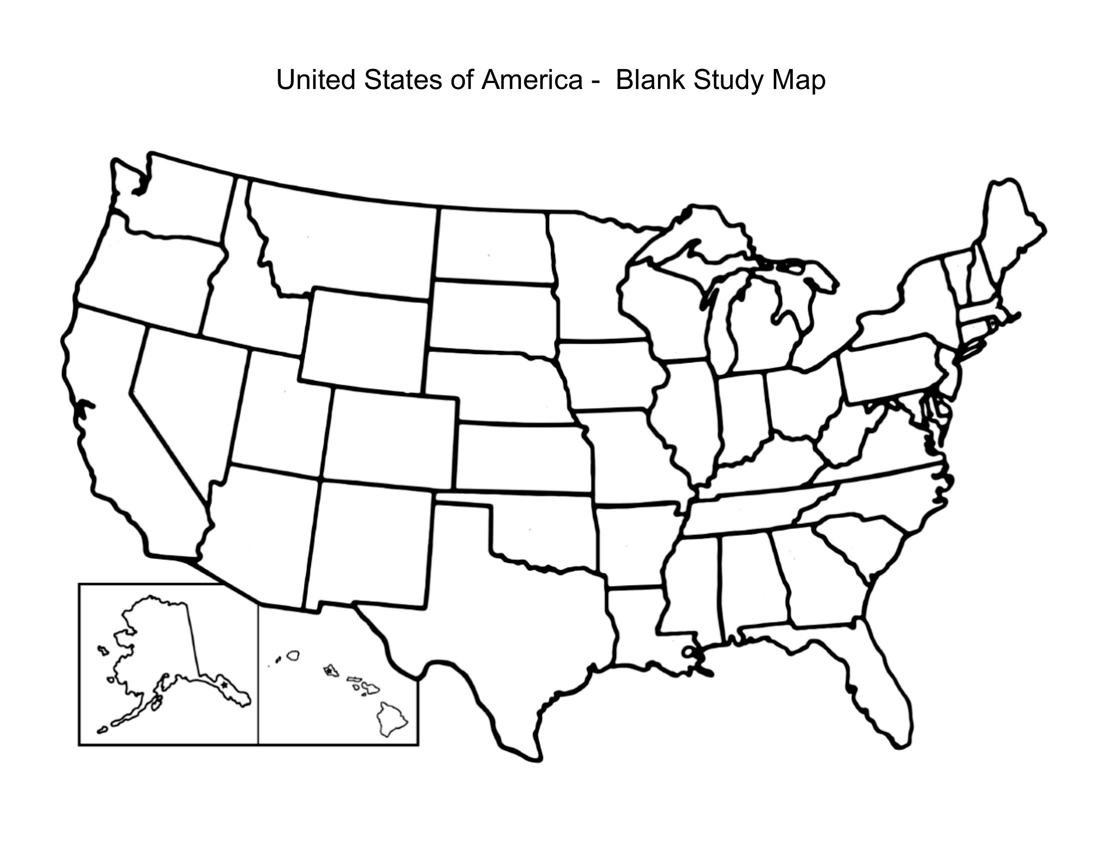
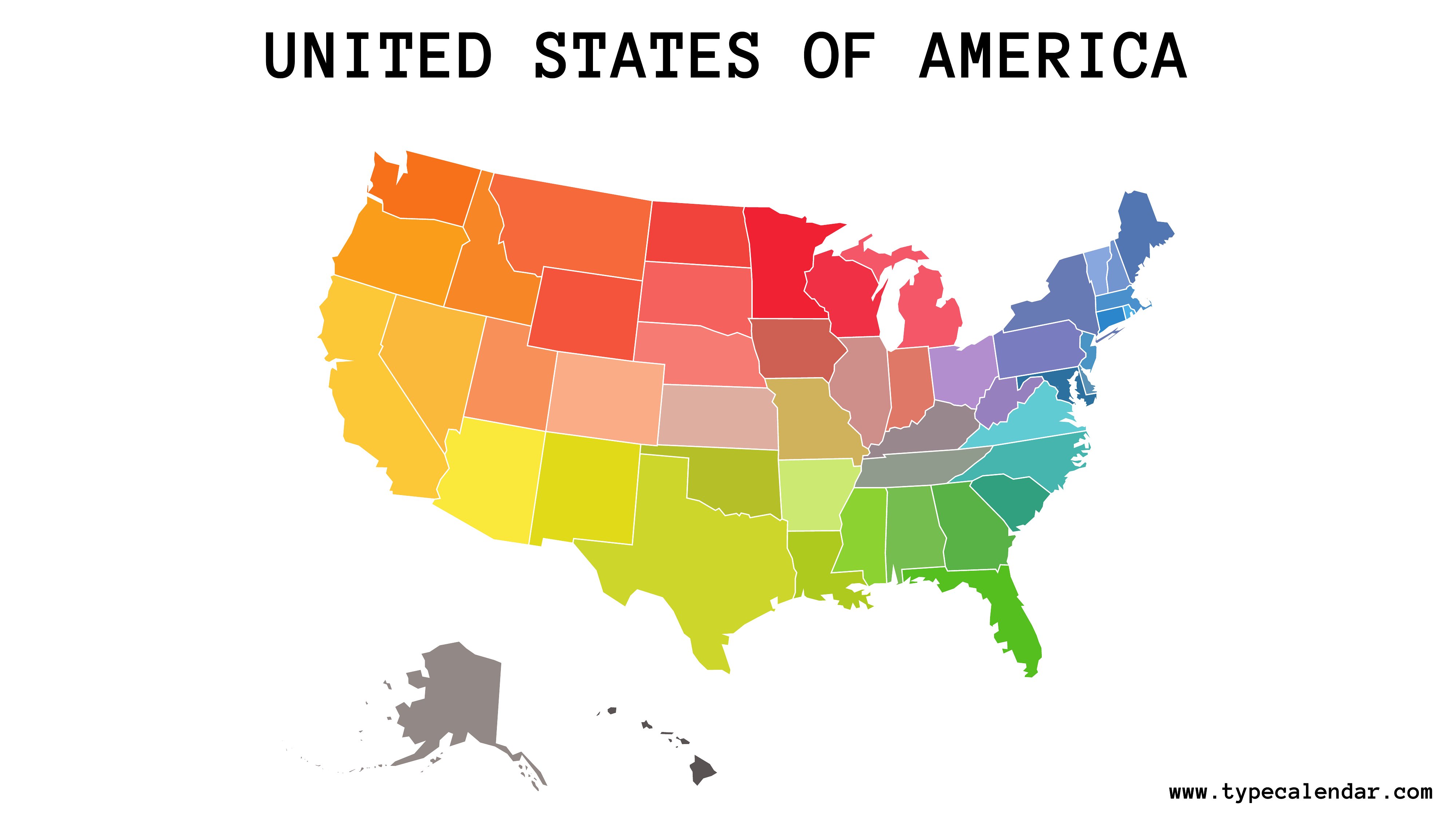
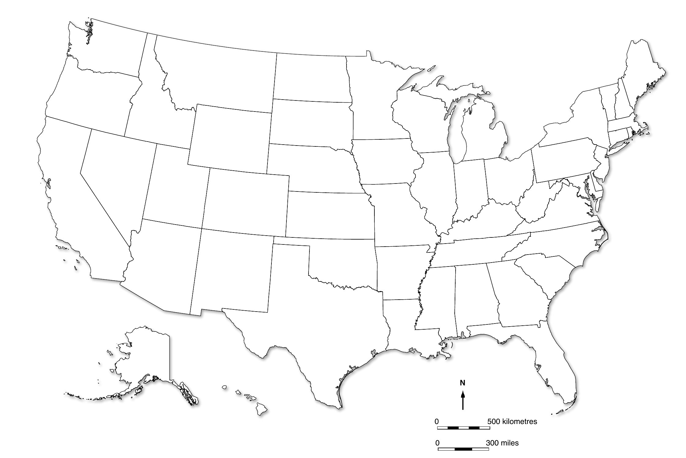
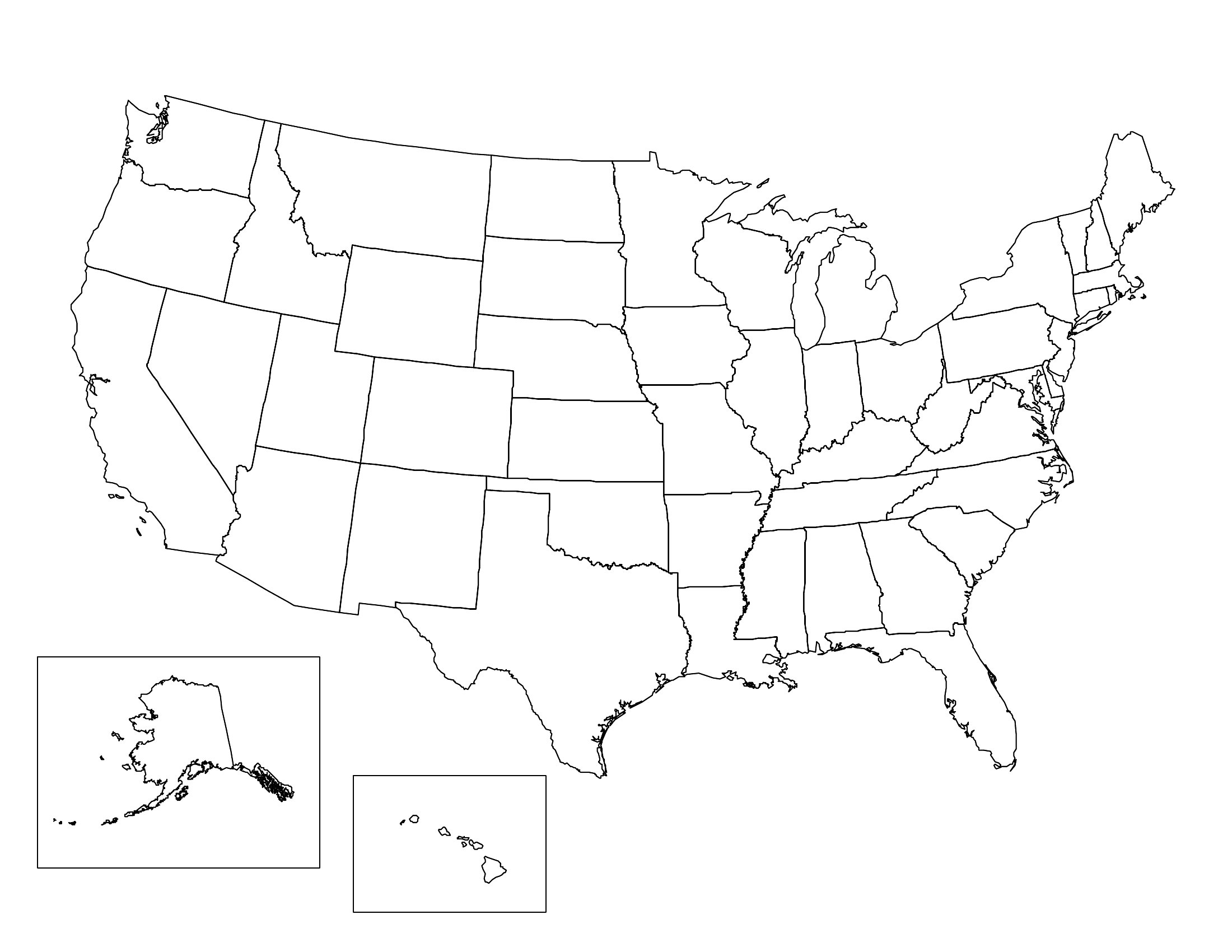
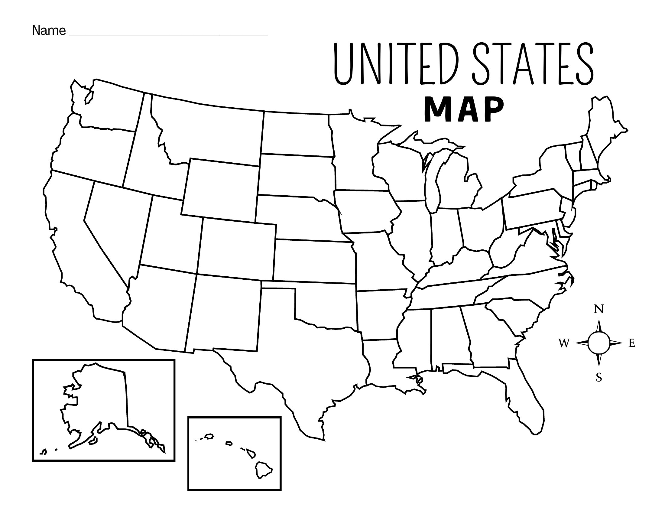
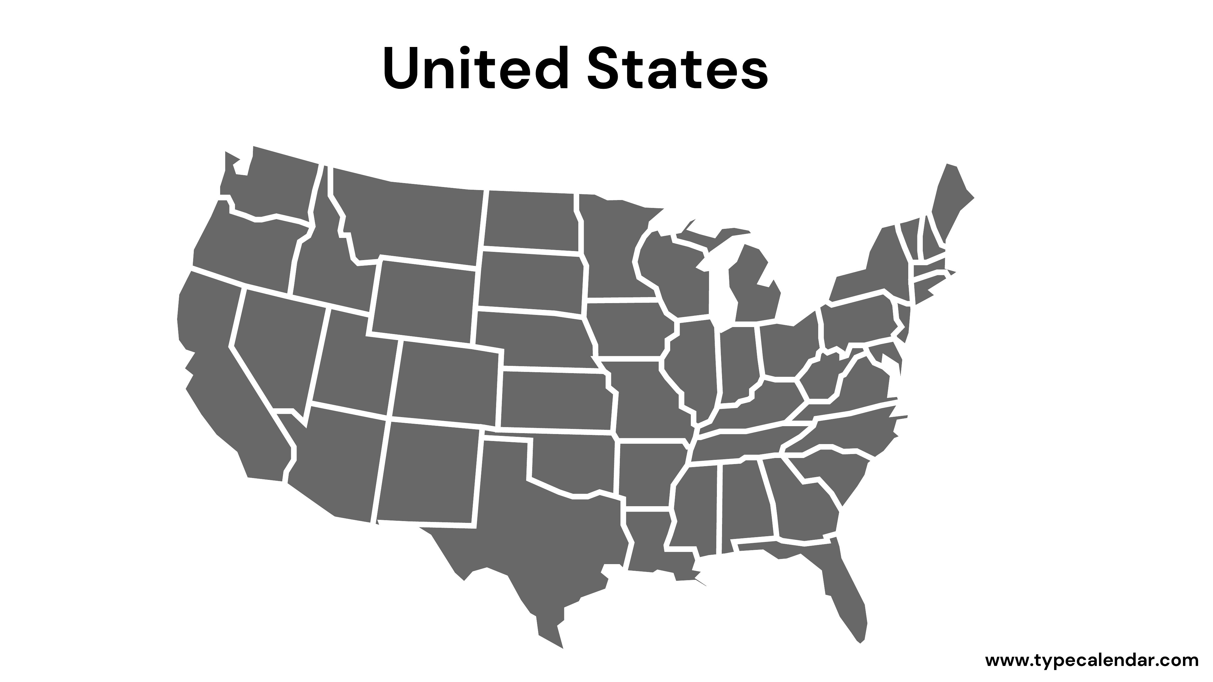
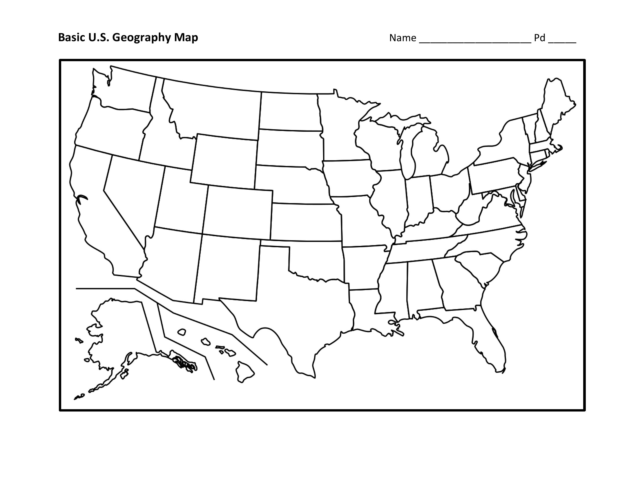
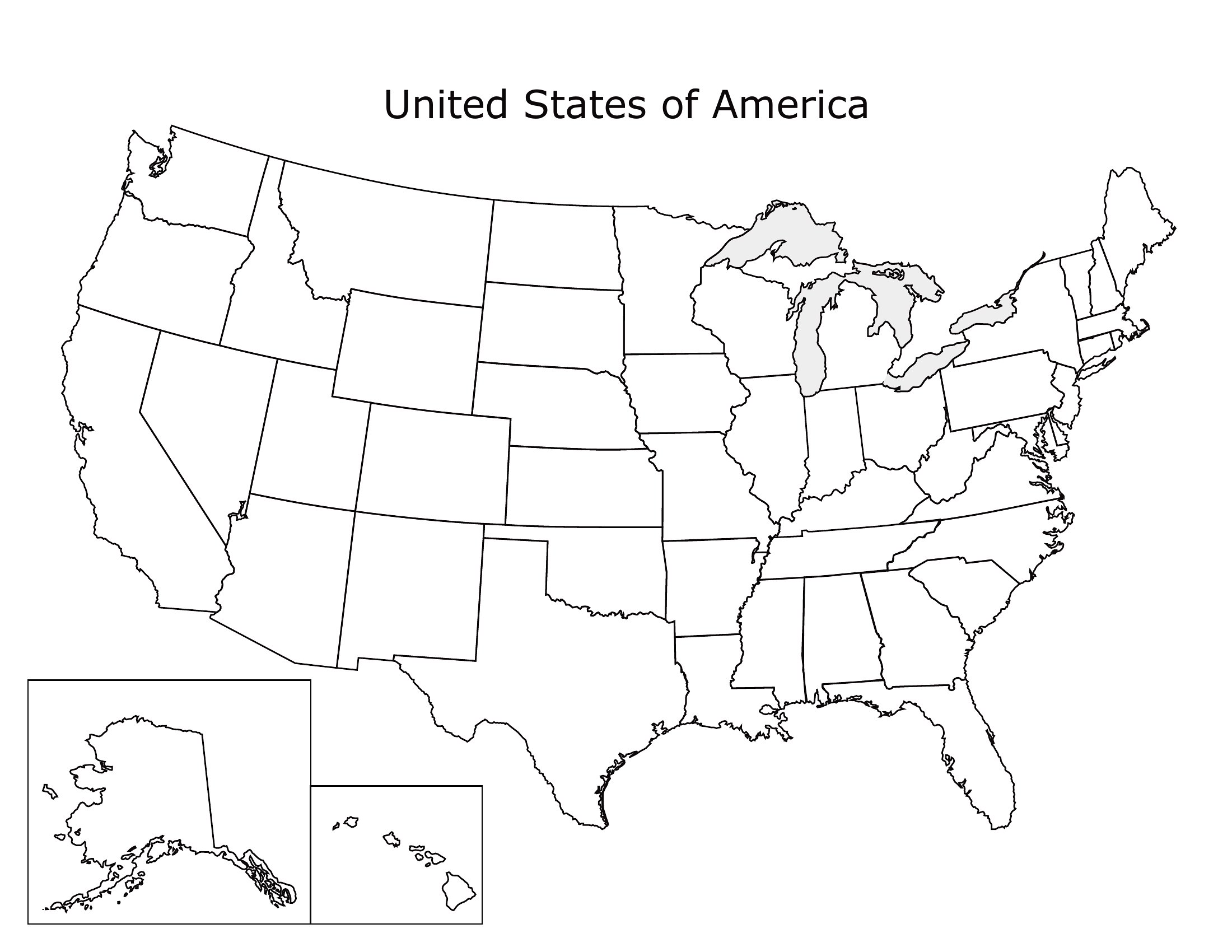
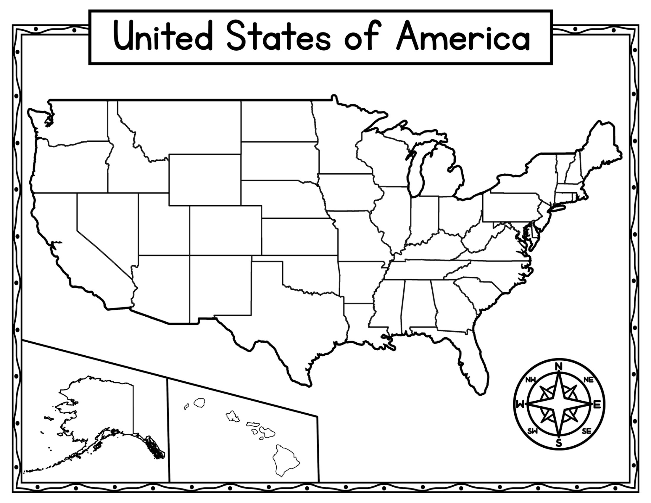
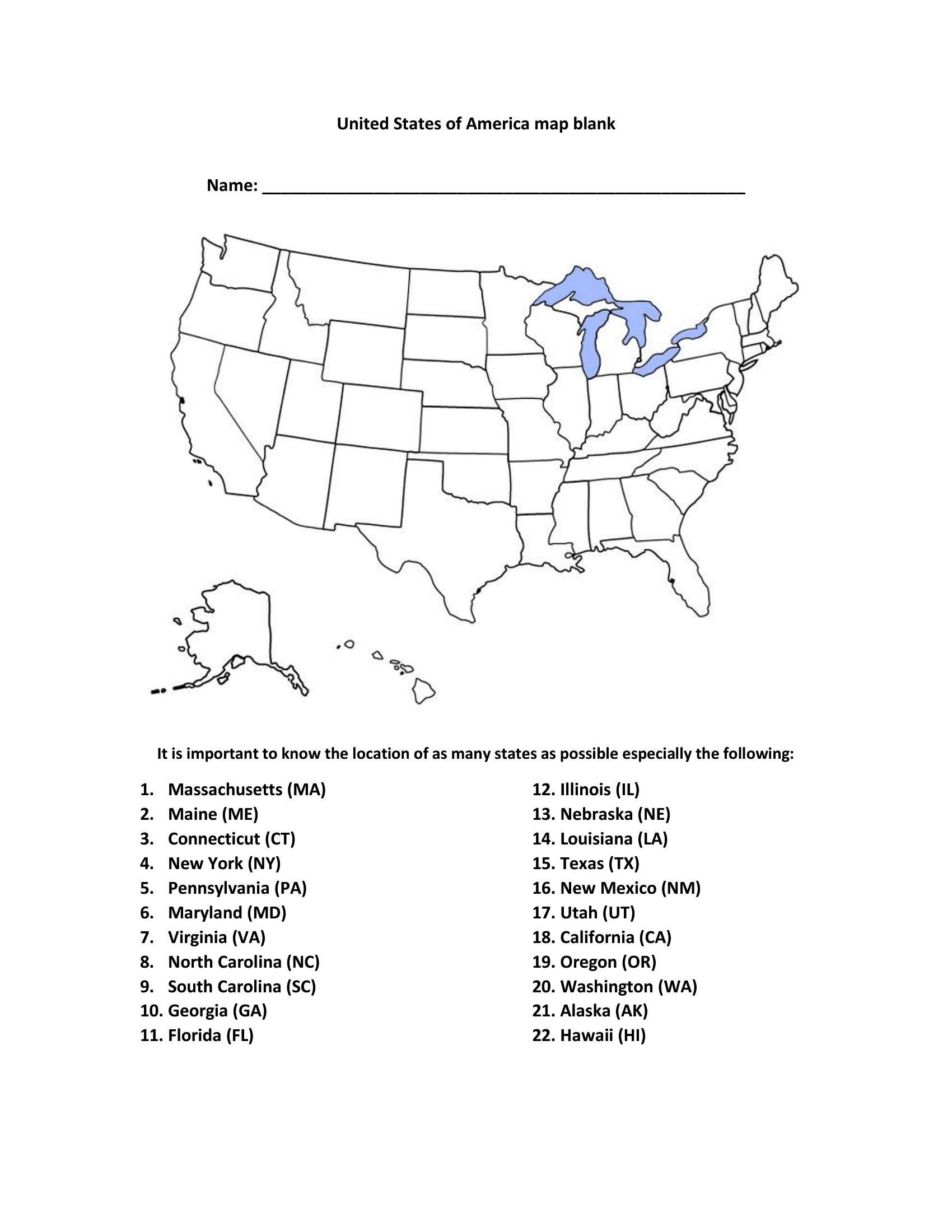
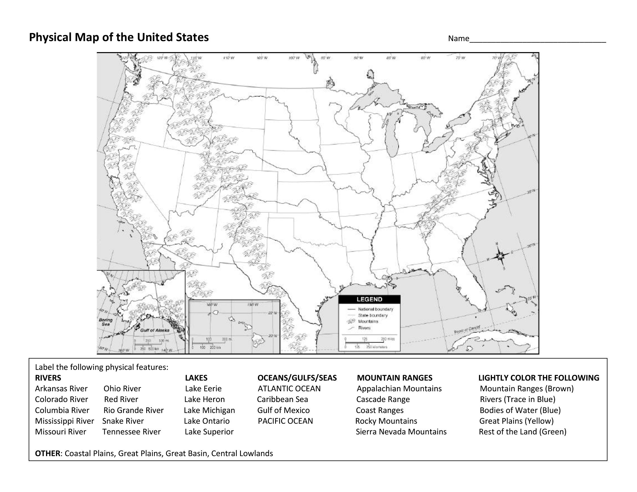
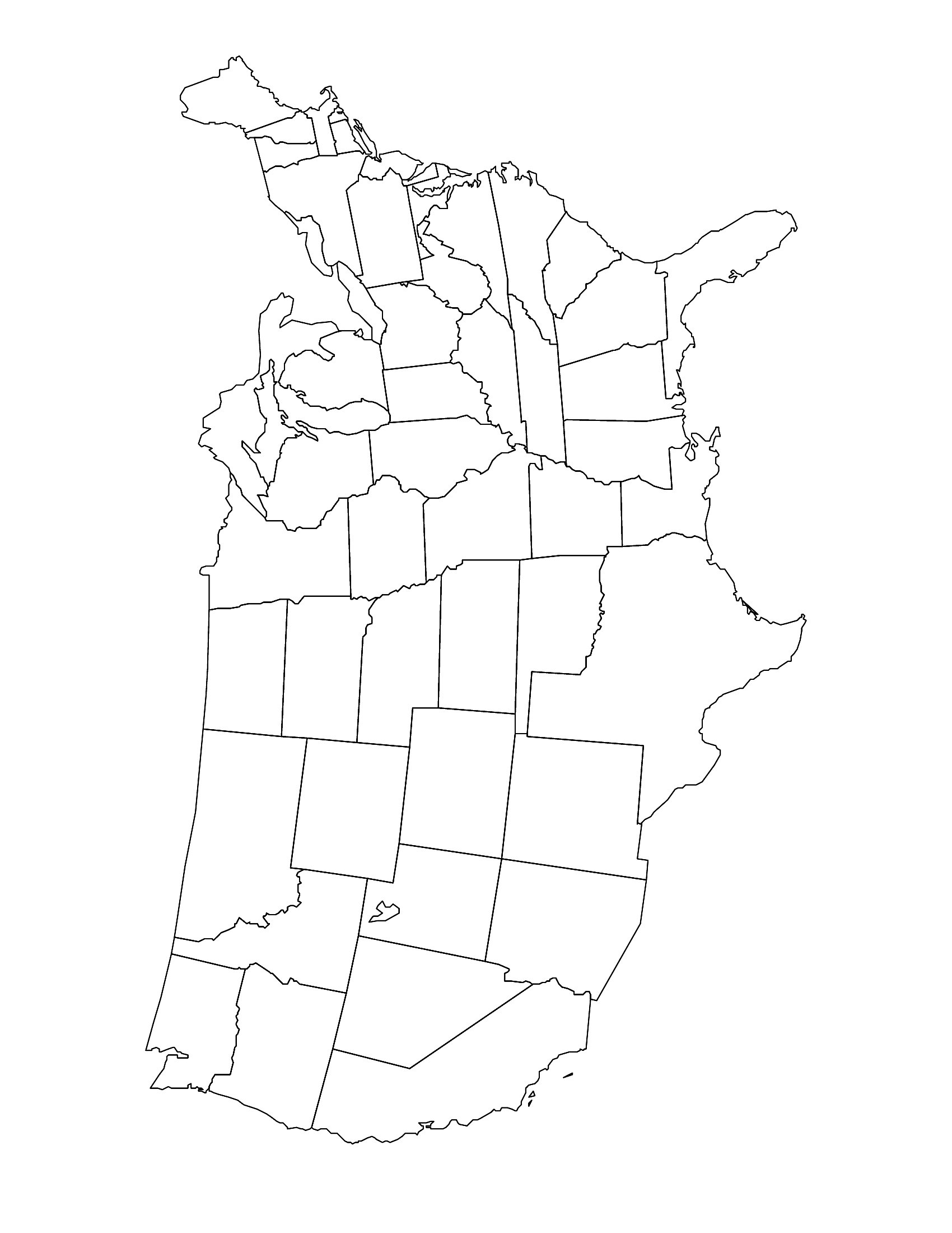
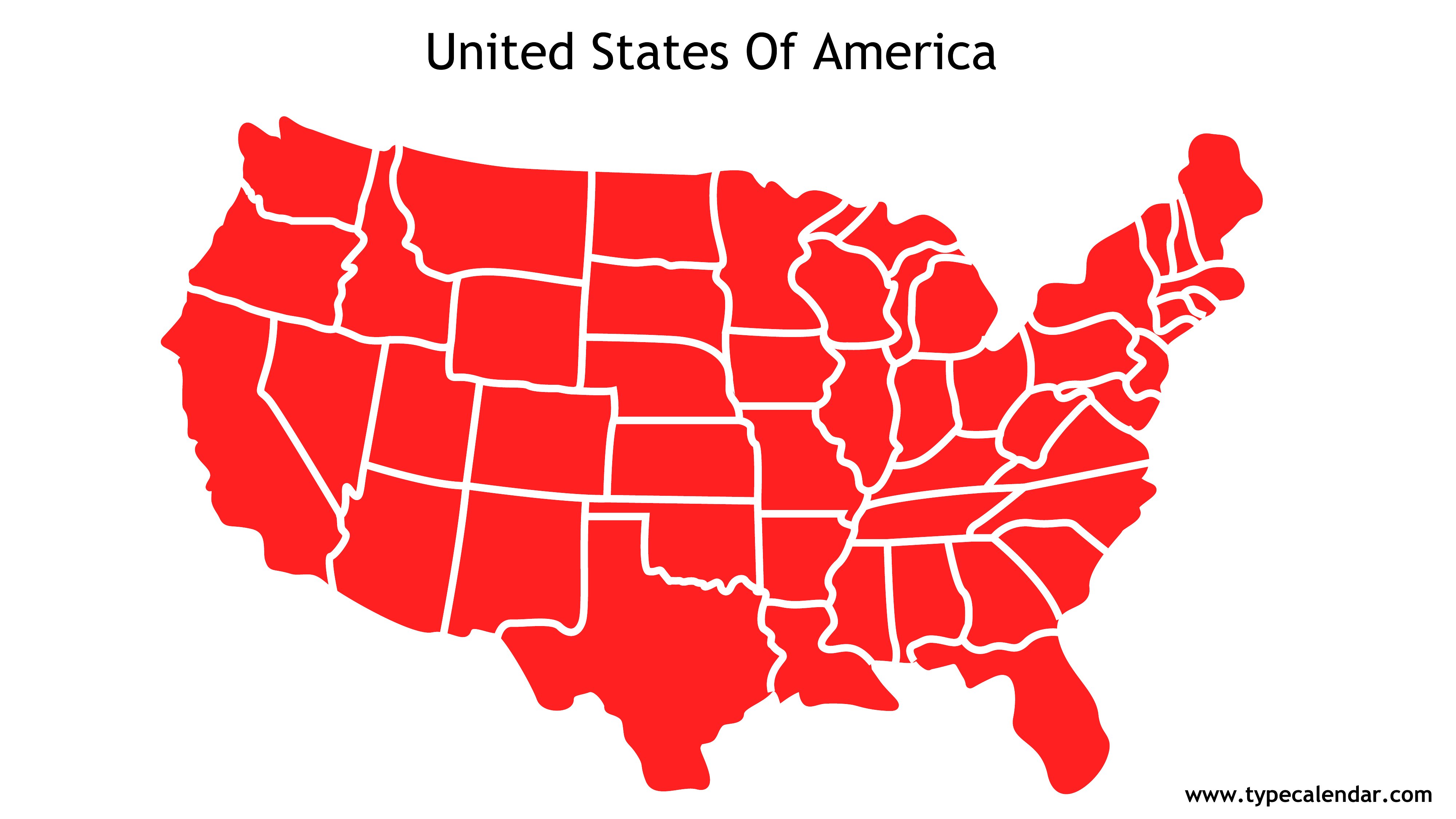
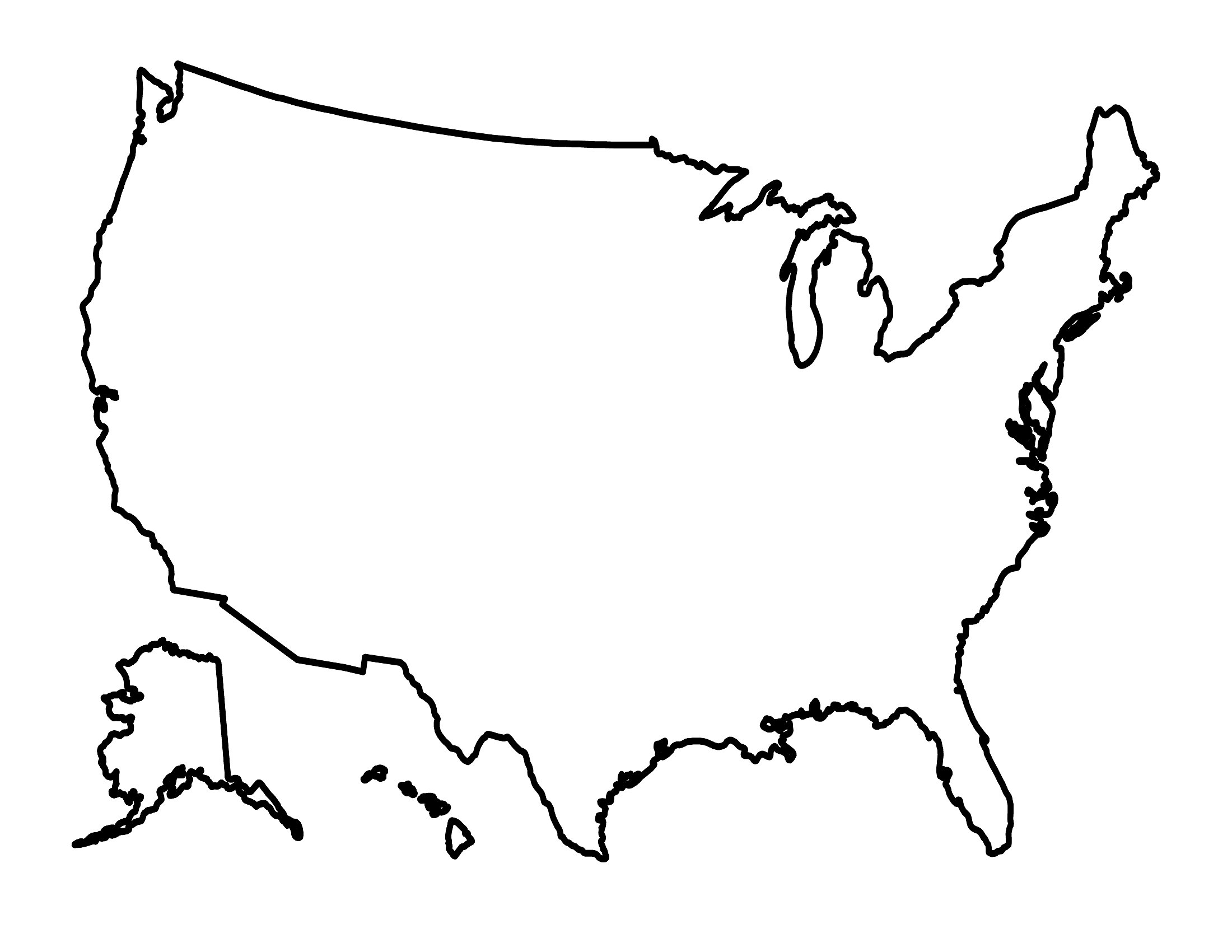
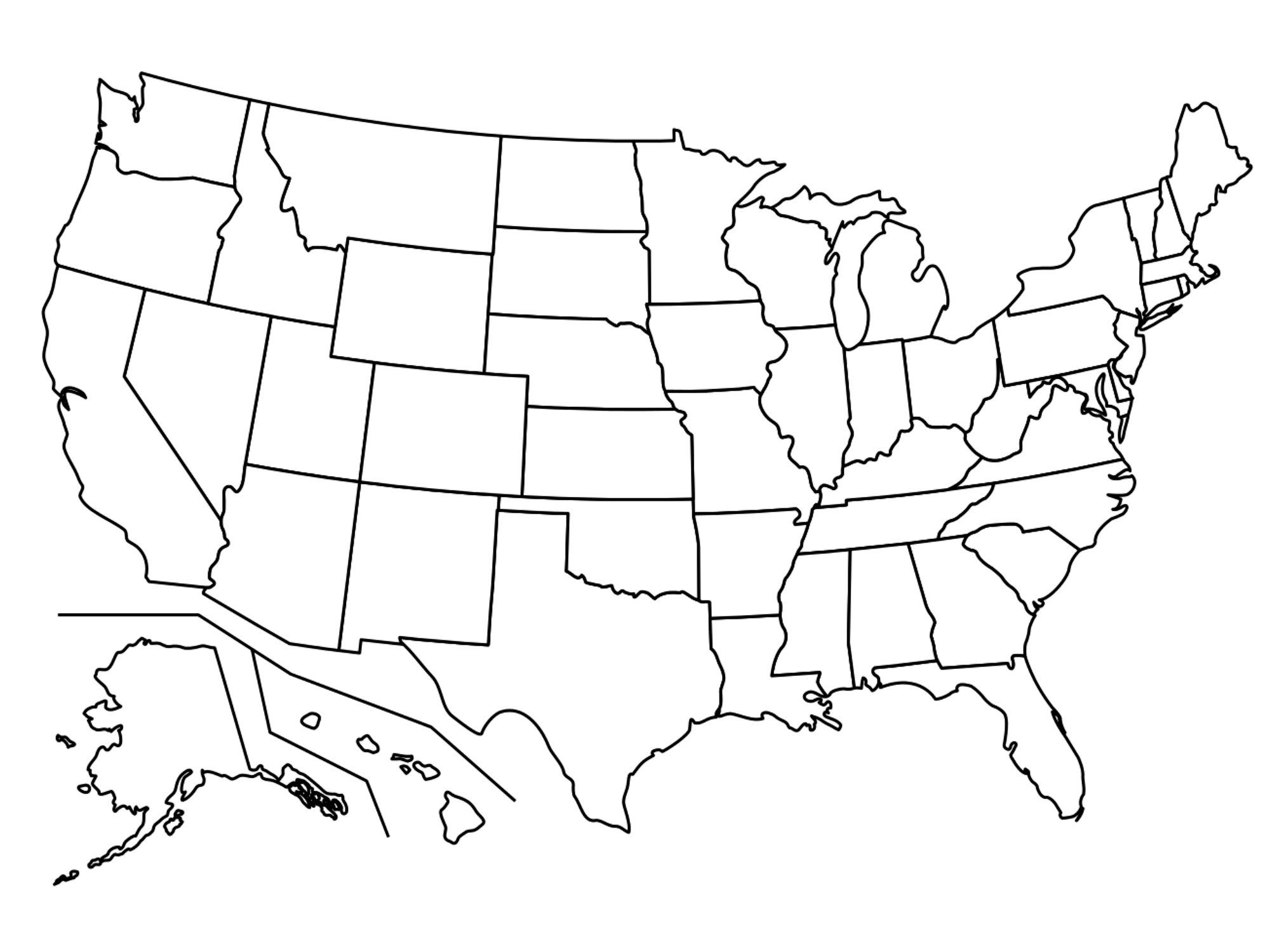
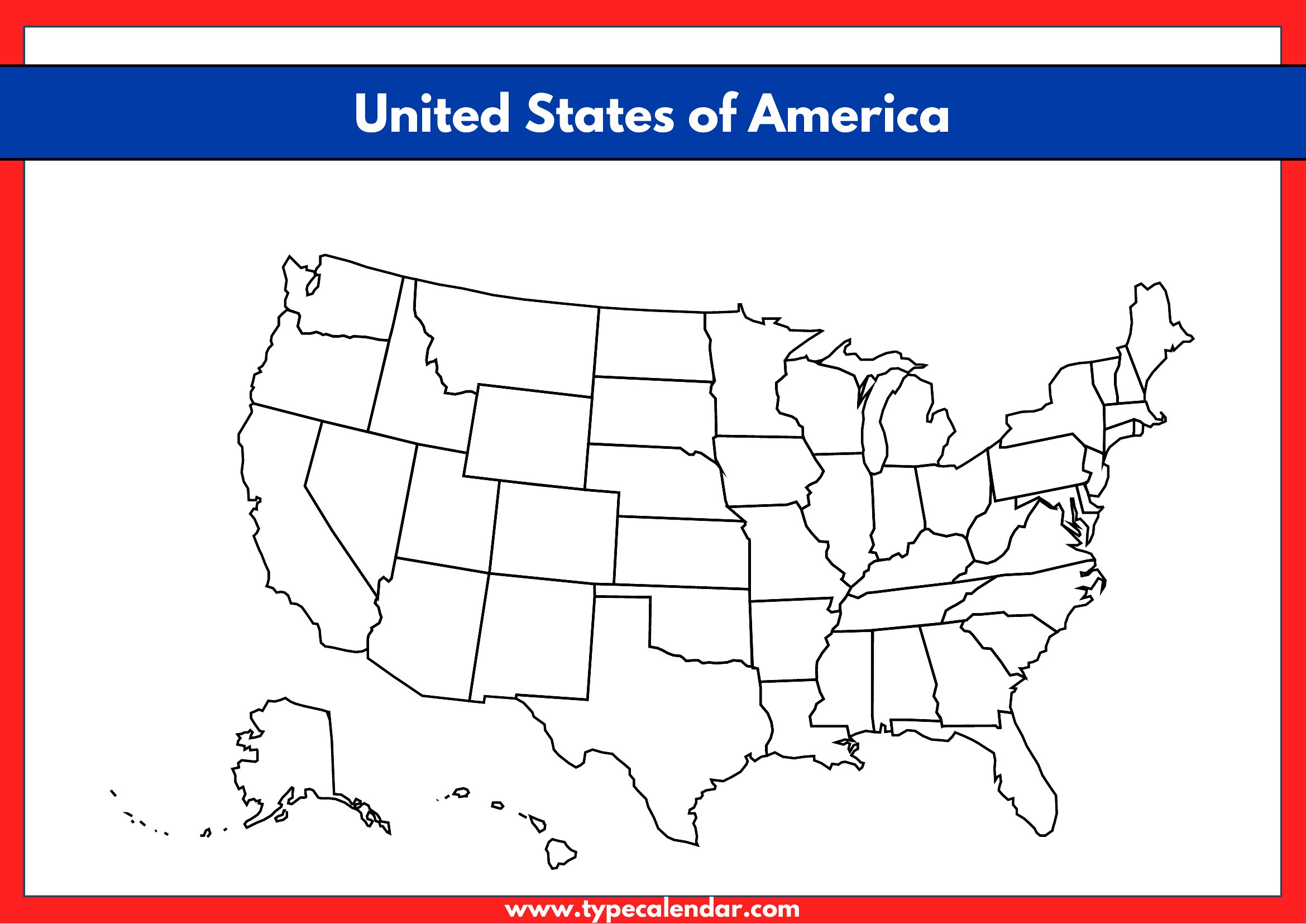
Yes, these blank maps work well for test prep because they include outlines with and without natural features like rivers or mountain ranges. Start with the most detailed version for initial study sessions, then switch to borderless maps for timed practice. The variety helps reinforce both geography and spatial memory without relying on pre-filled answers.
What’s the difference between the ‘name lines’ and ‘completely open’ maps in this collection?
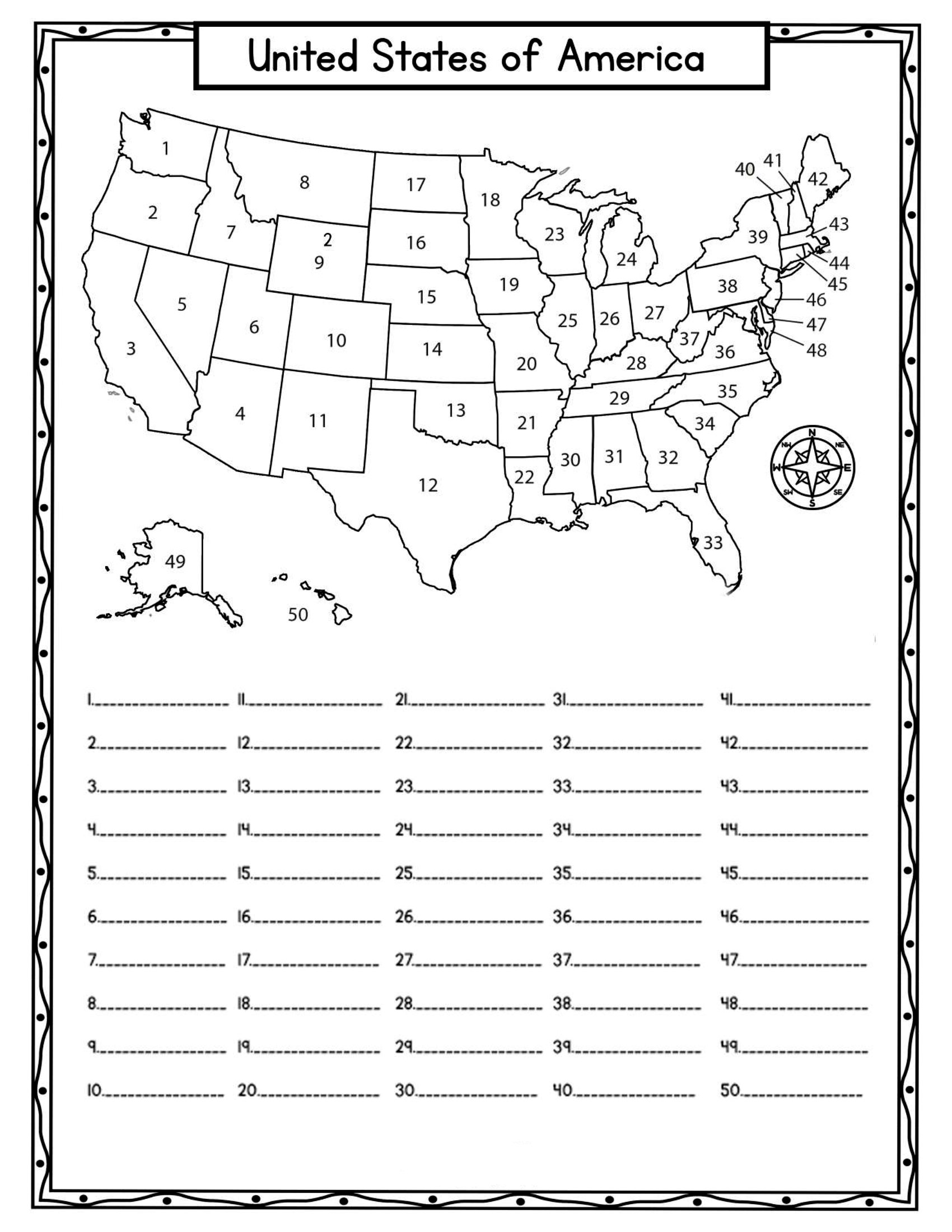
The ‘name lines’ maps include faint outlines of state names but no capitals or cities, helping learners trace and spell state names correctly. The ‘completely open’ maps are ideal for advanced students or self-study, as they require recall of everything—names, borders, and key locations—without any visual aids. Use the former for guided practice and the latter for assessment or independent work.
Are there maps in this collection that show time zones or international borders for a project on US-Canada trade?
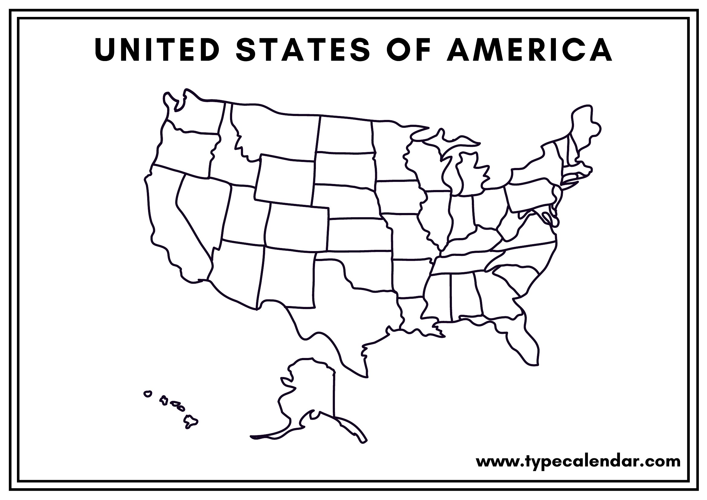
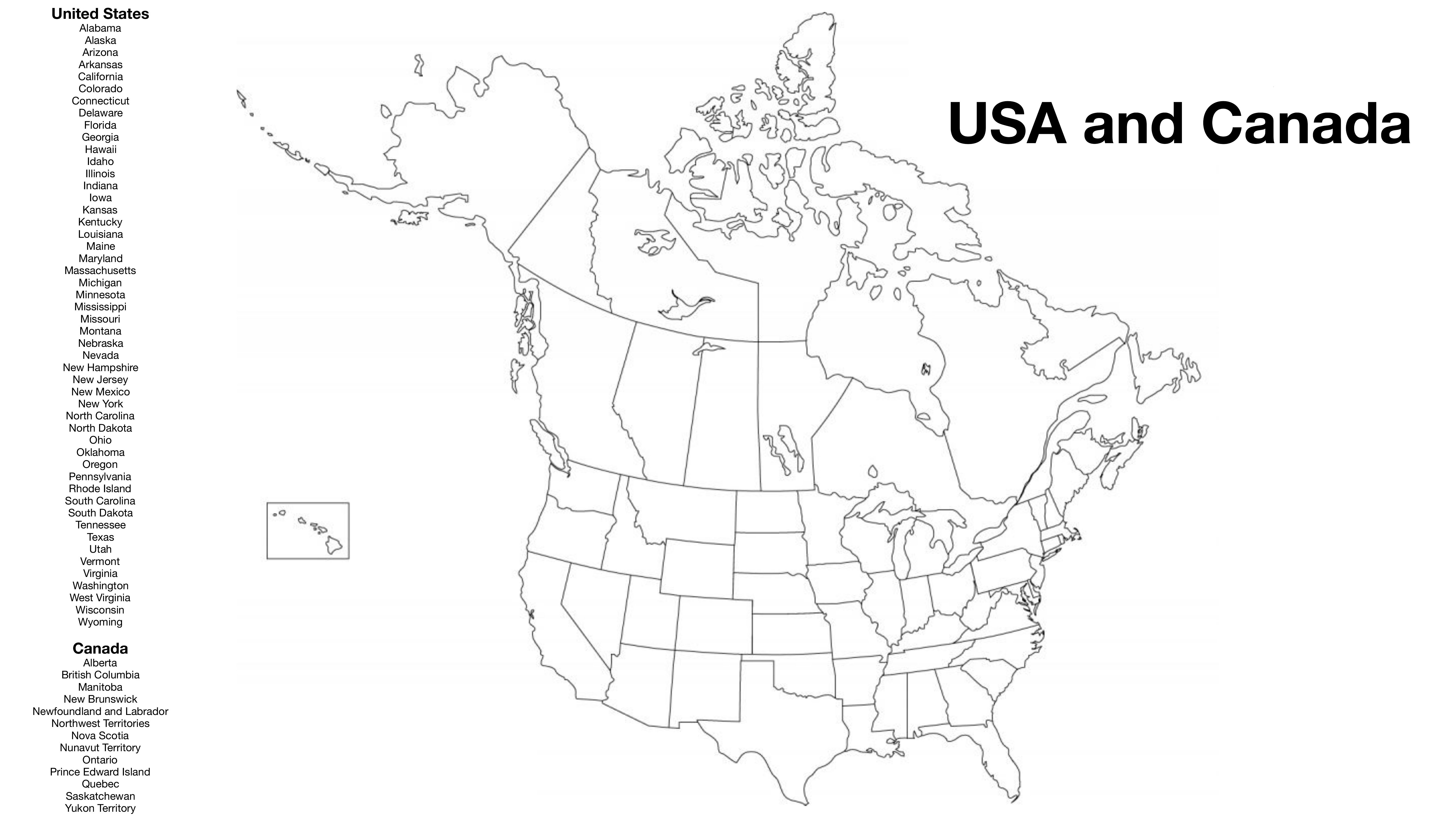
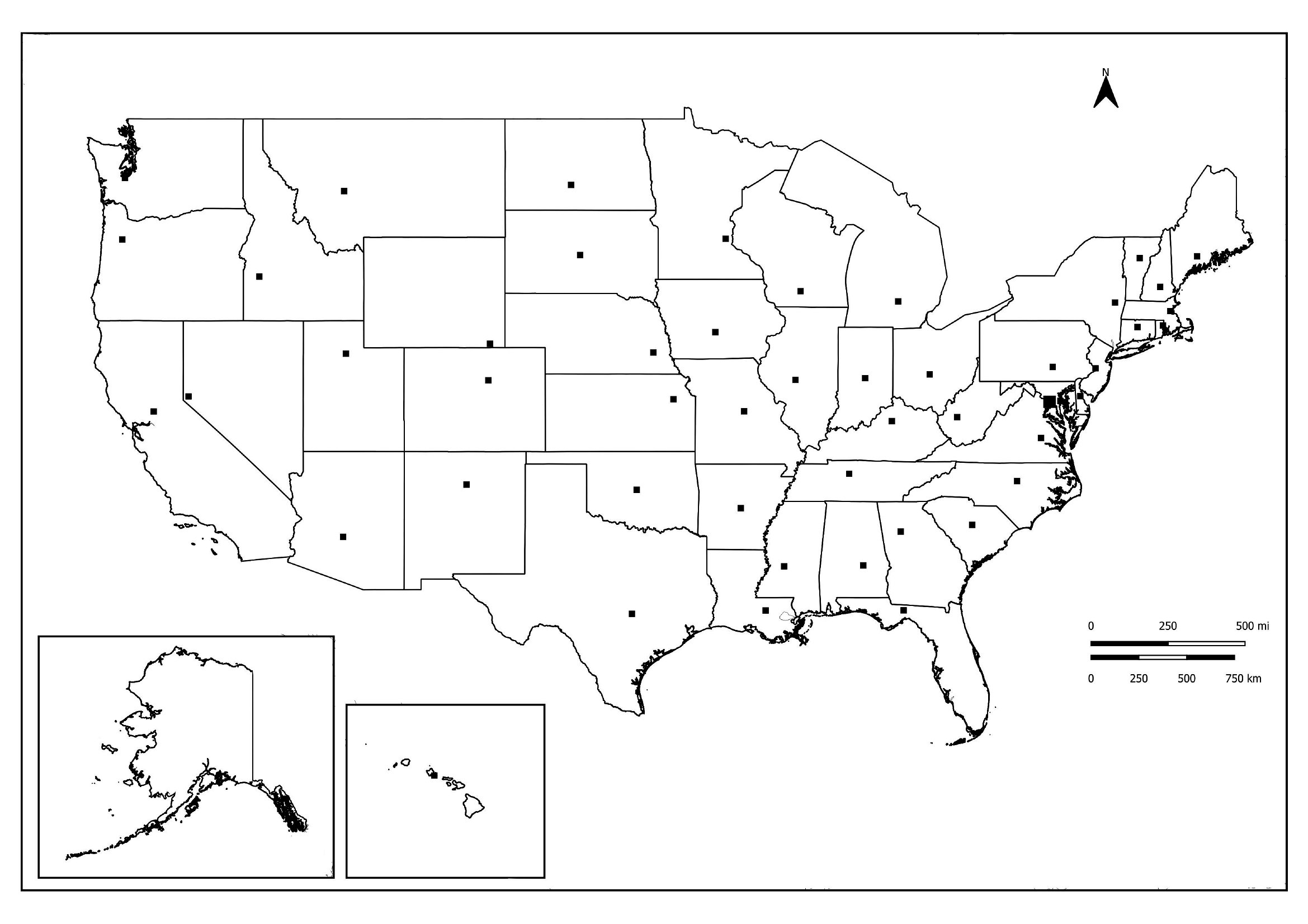
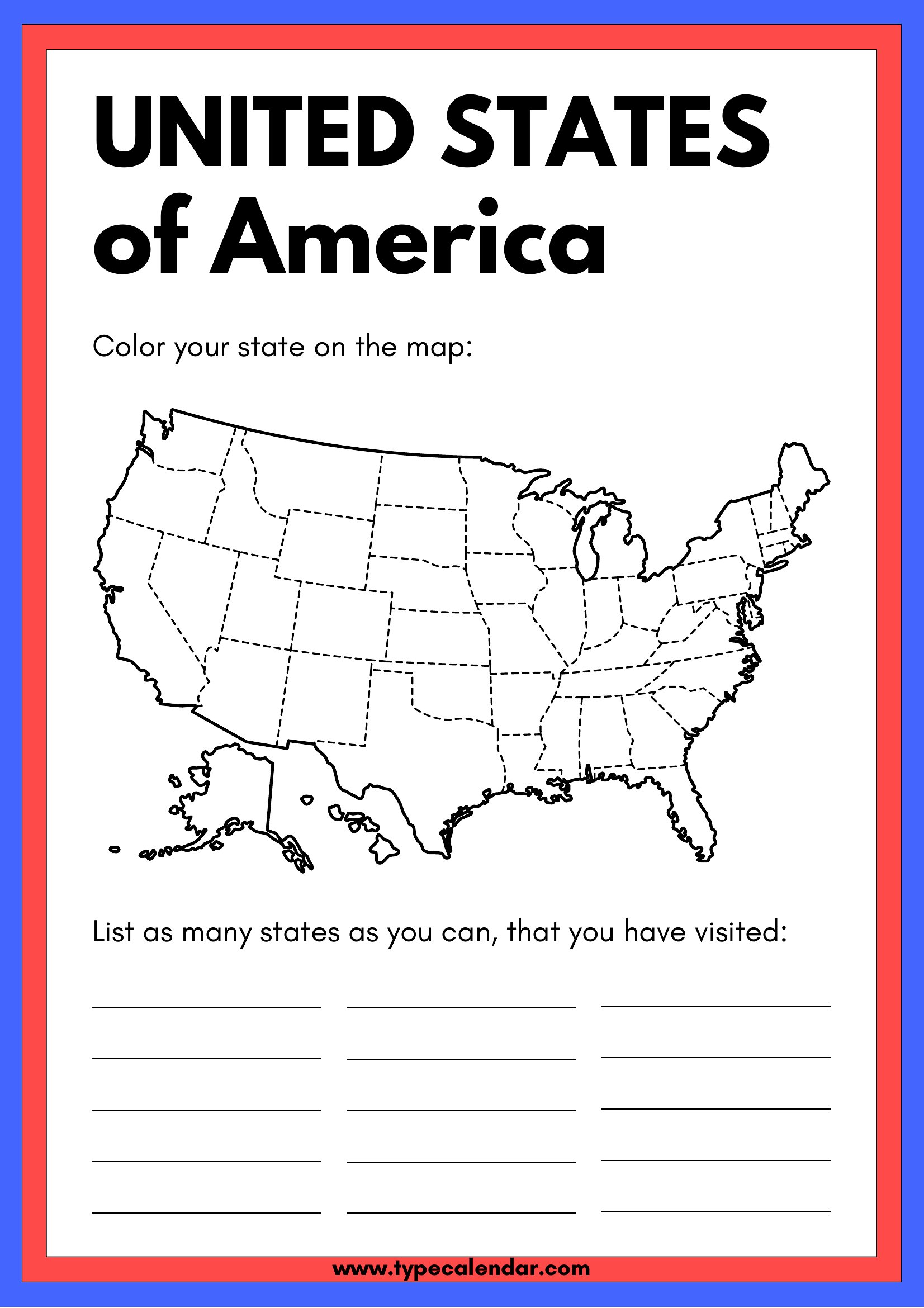
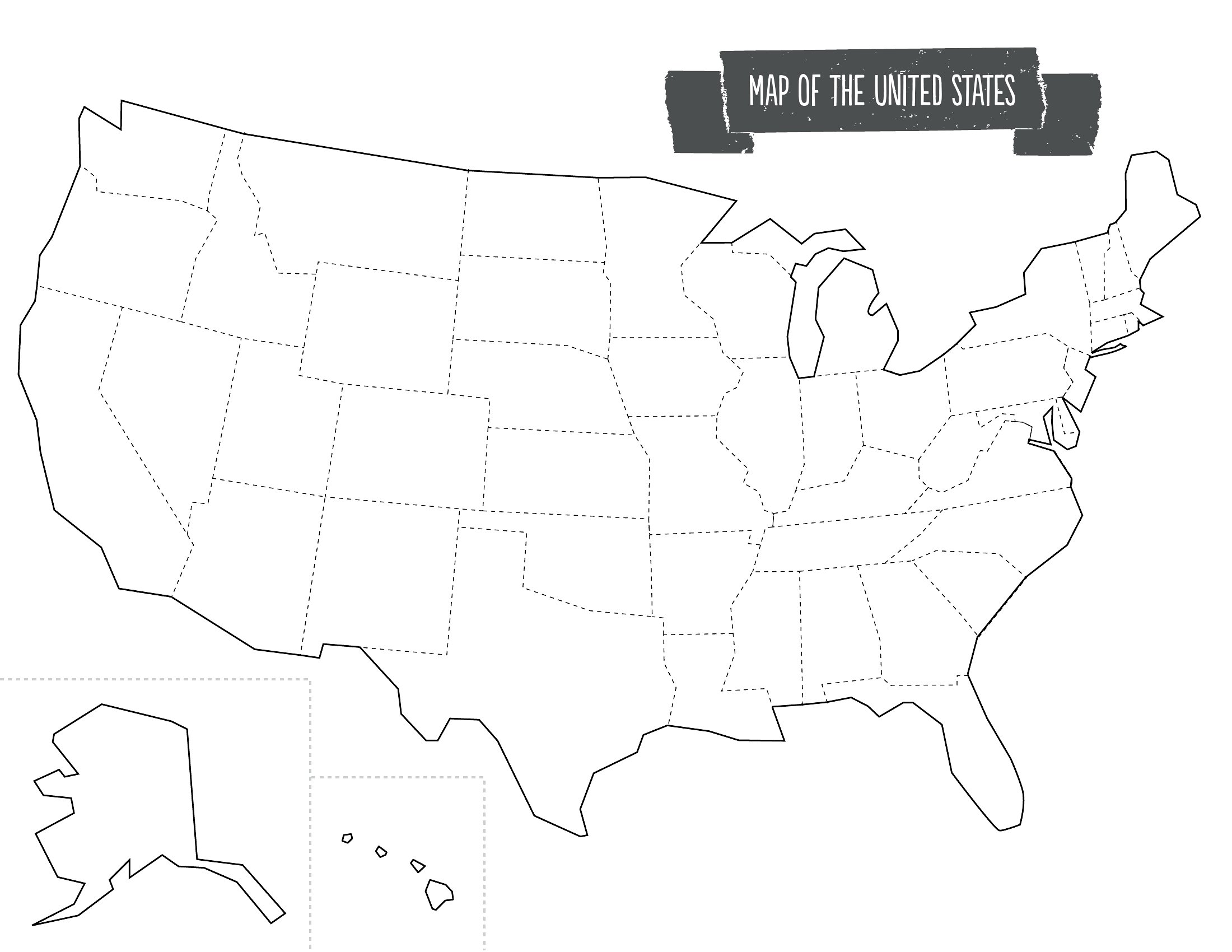
No, this collection focuses on domestic US geography and doesn’t include time zones or international borders. For a project on US-Canada trade, you’ll need a separate world or North America map. However, these templates include outlines with state borders only, which can still pair well with a regional map if you’re highlighting trade routes between US states and Canadian provinces.
Comments
Join the conversation
Sign in to share your thoughts and leave a comment on this resource.