
Free Printable Blank US Maps (PDF)
Diagrams by hansadolfscholz
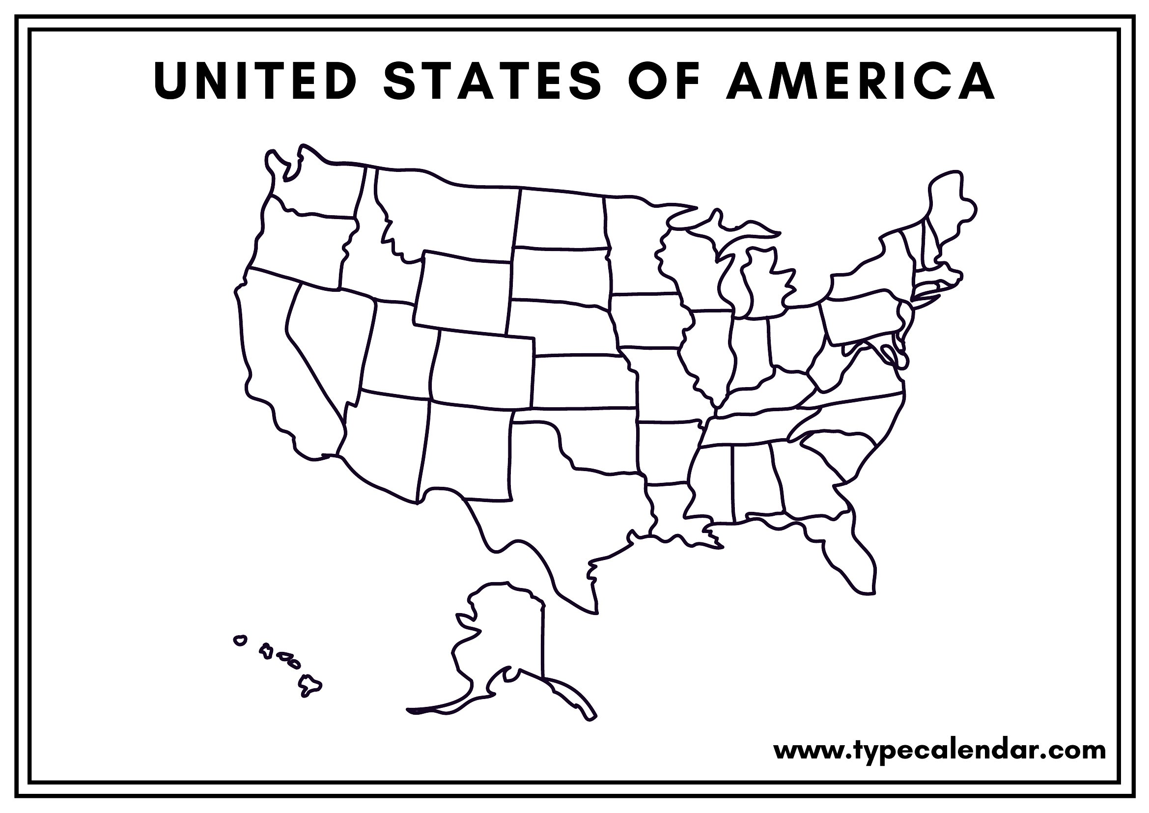
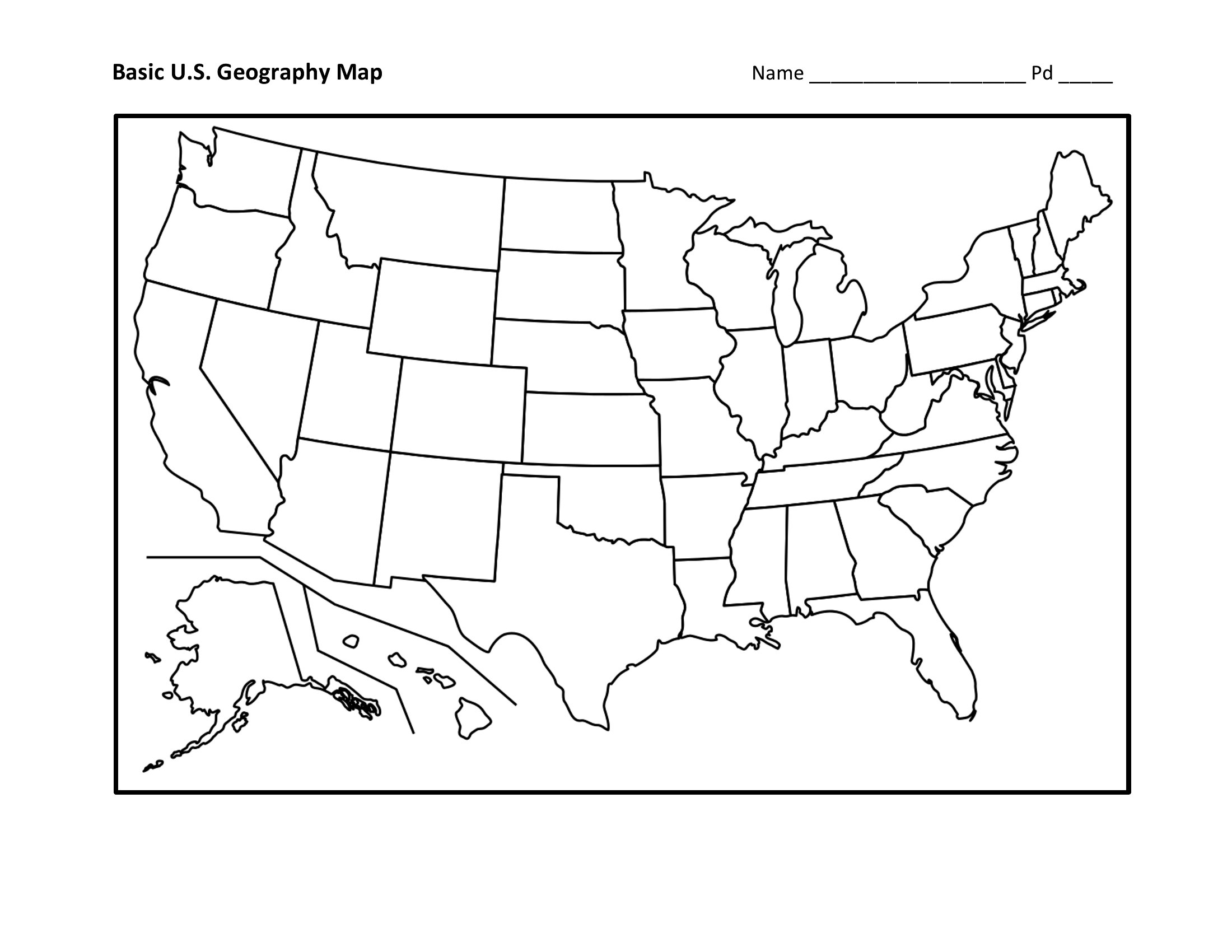
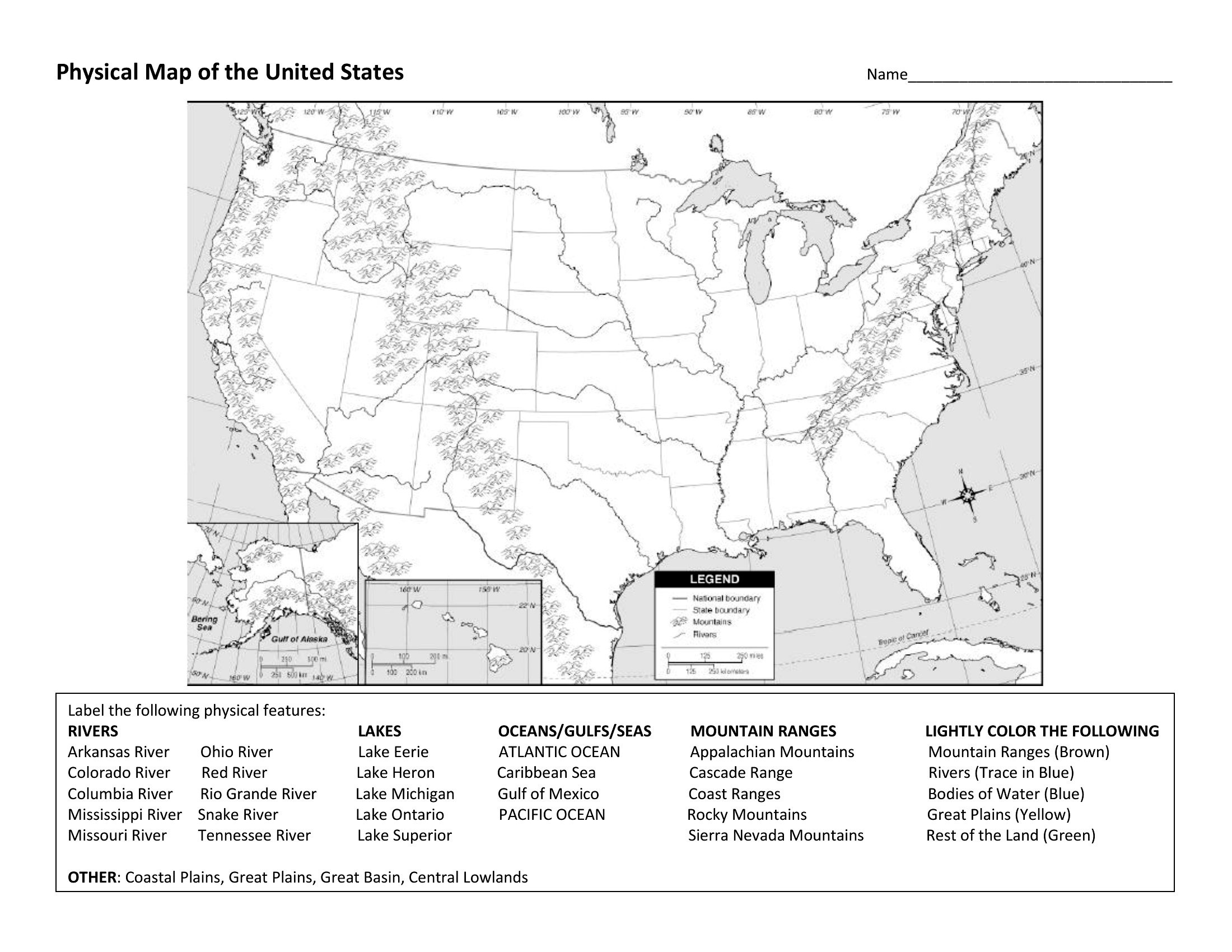
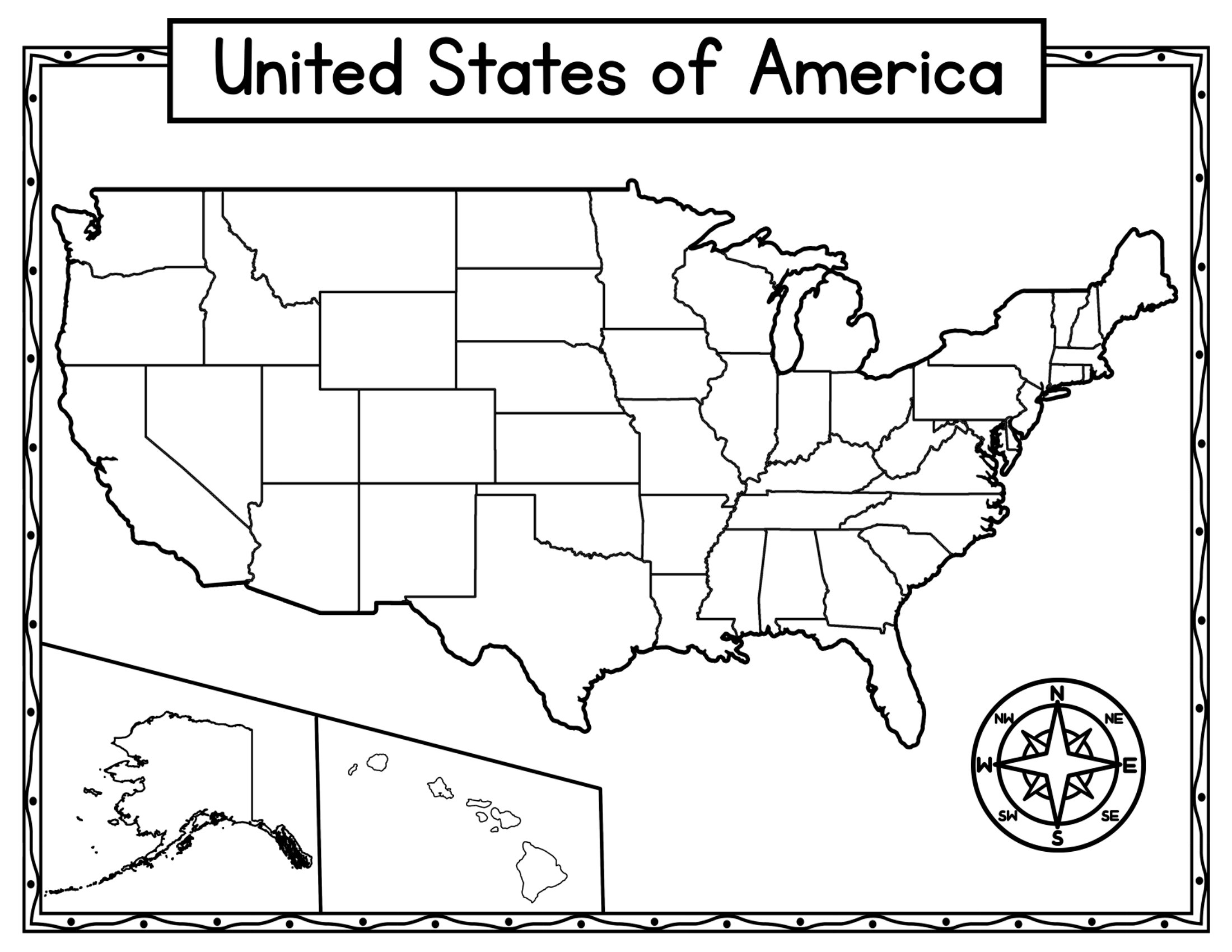
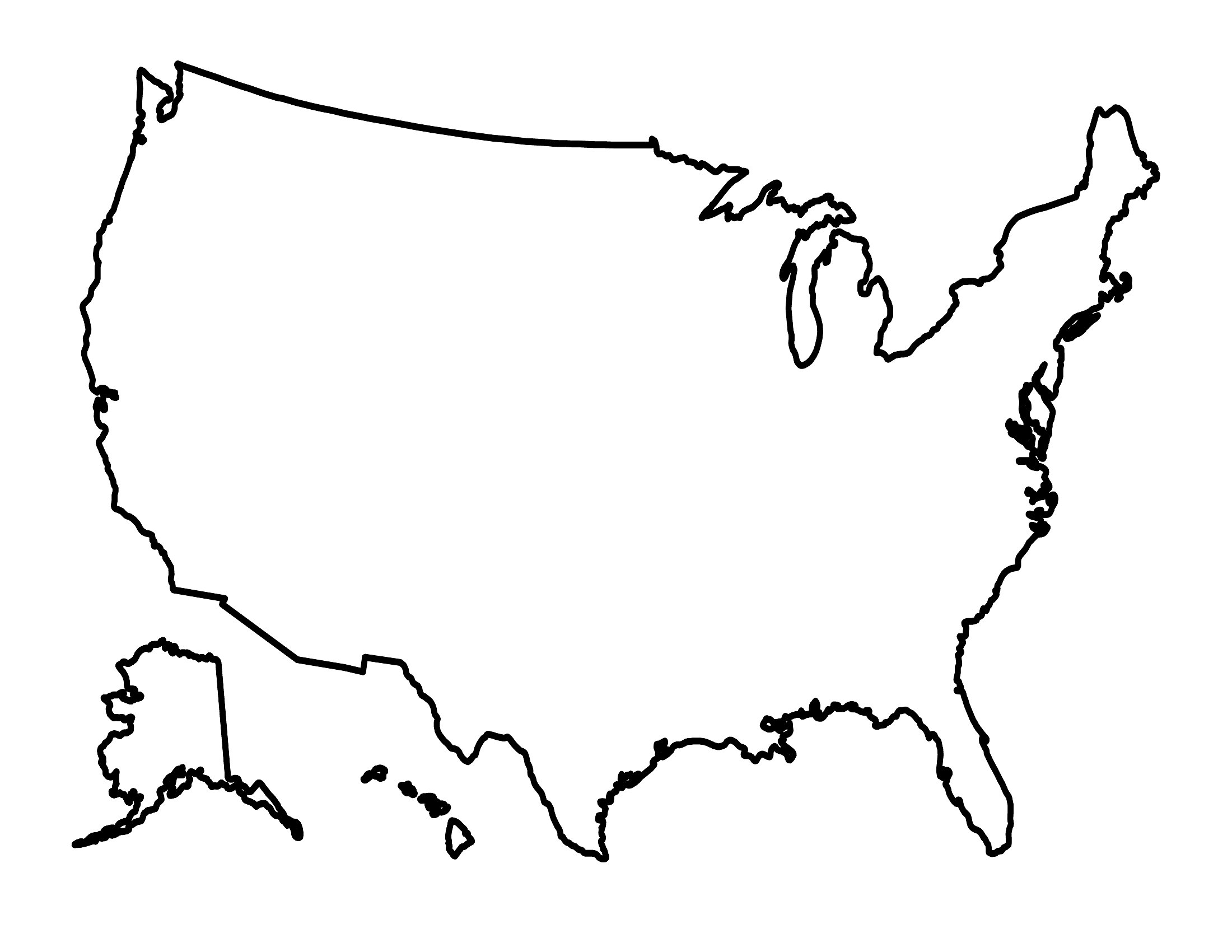
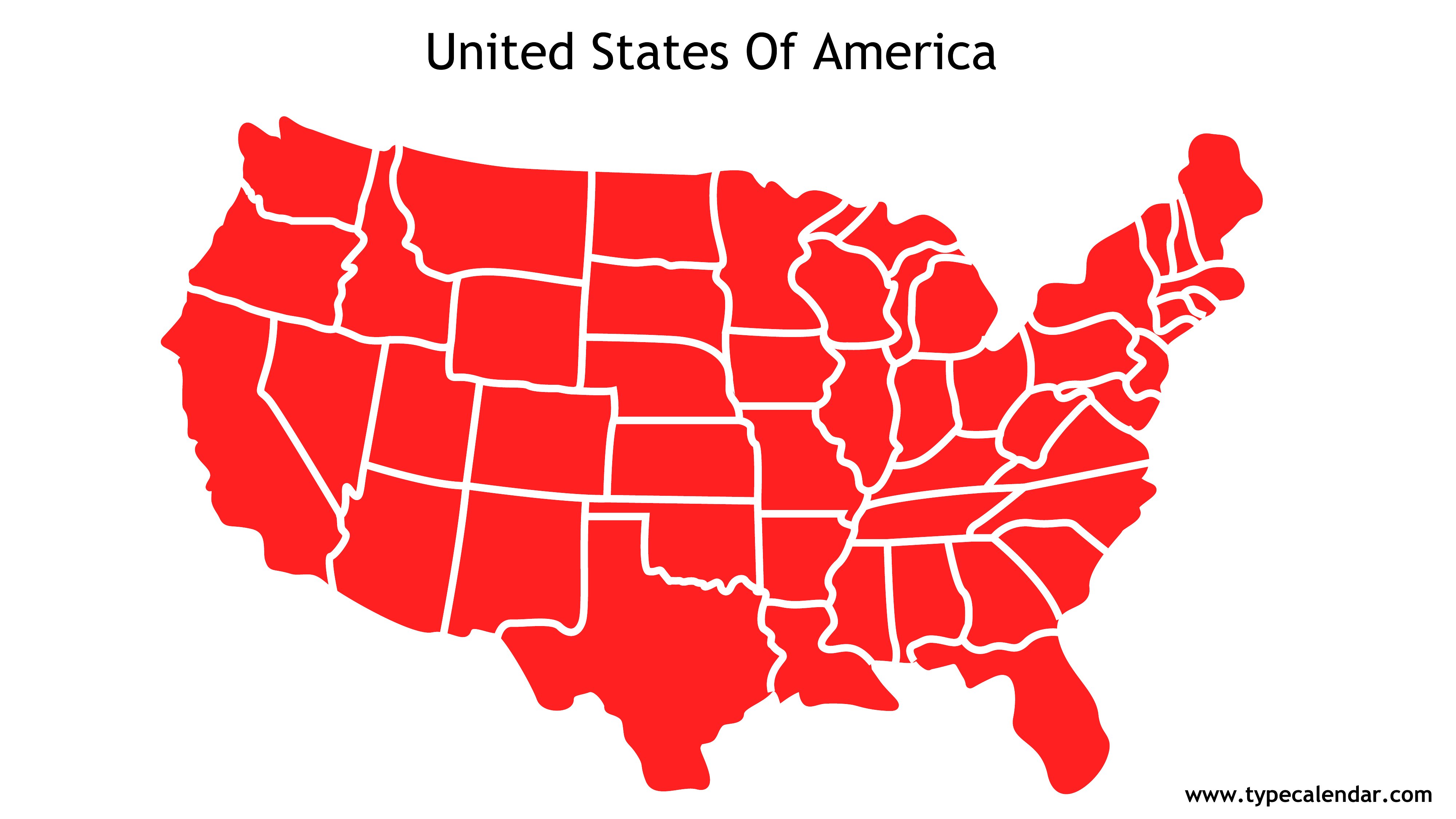
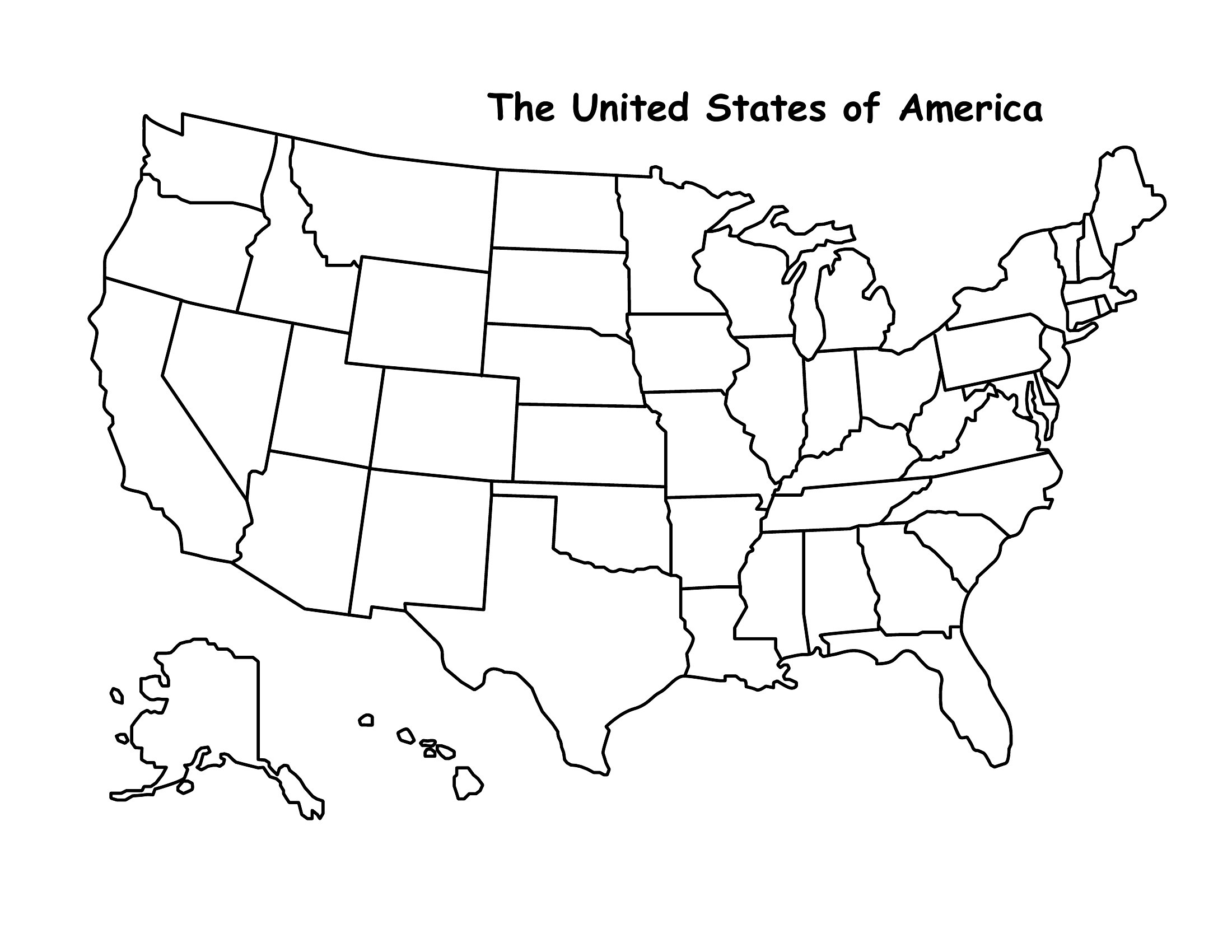
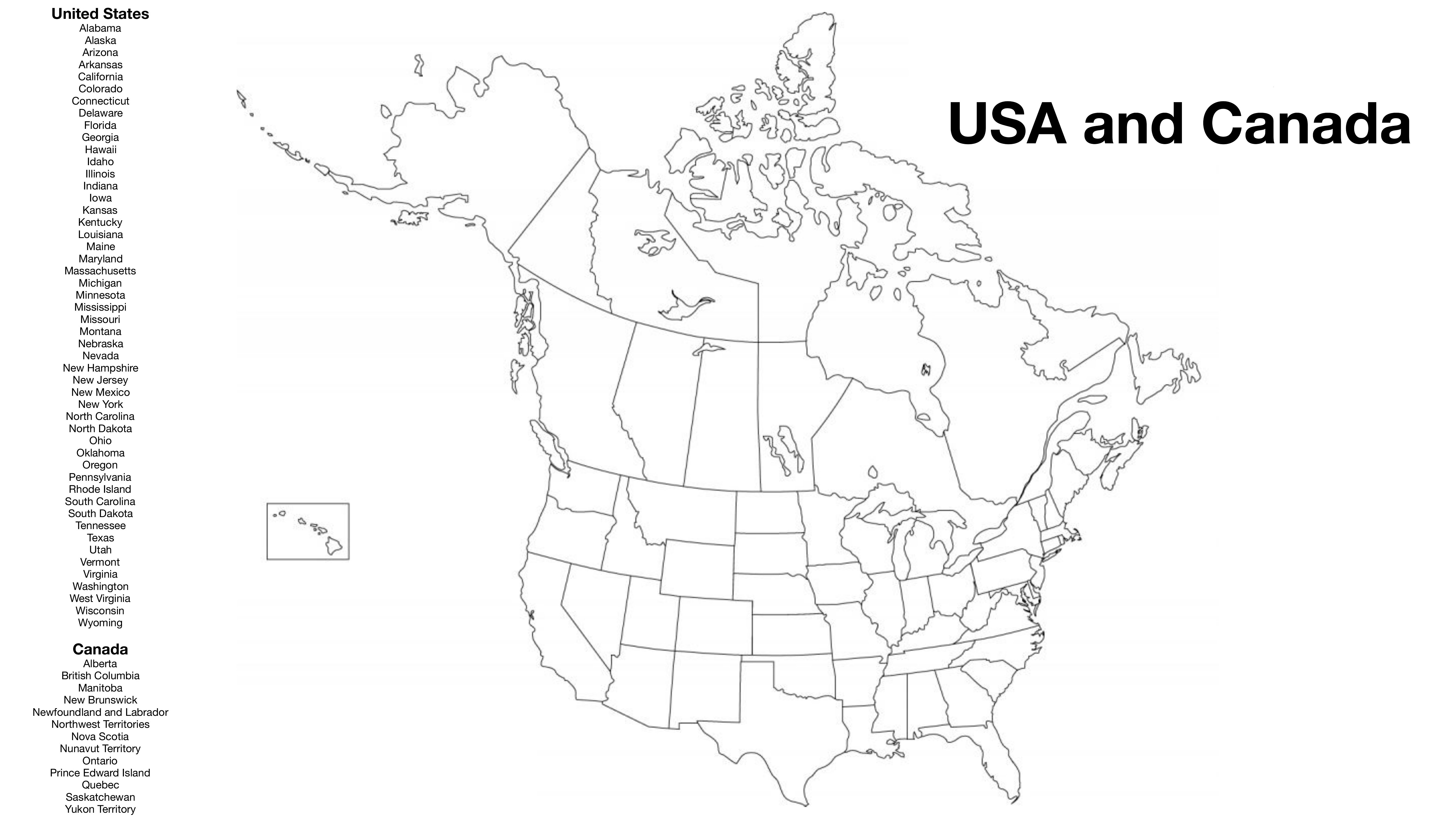
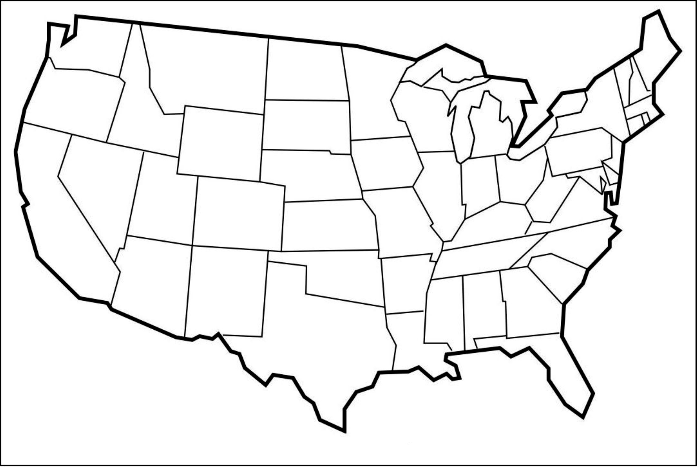
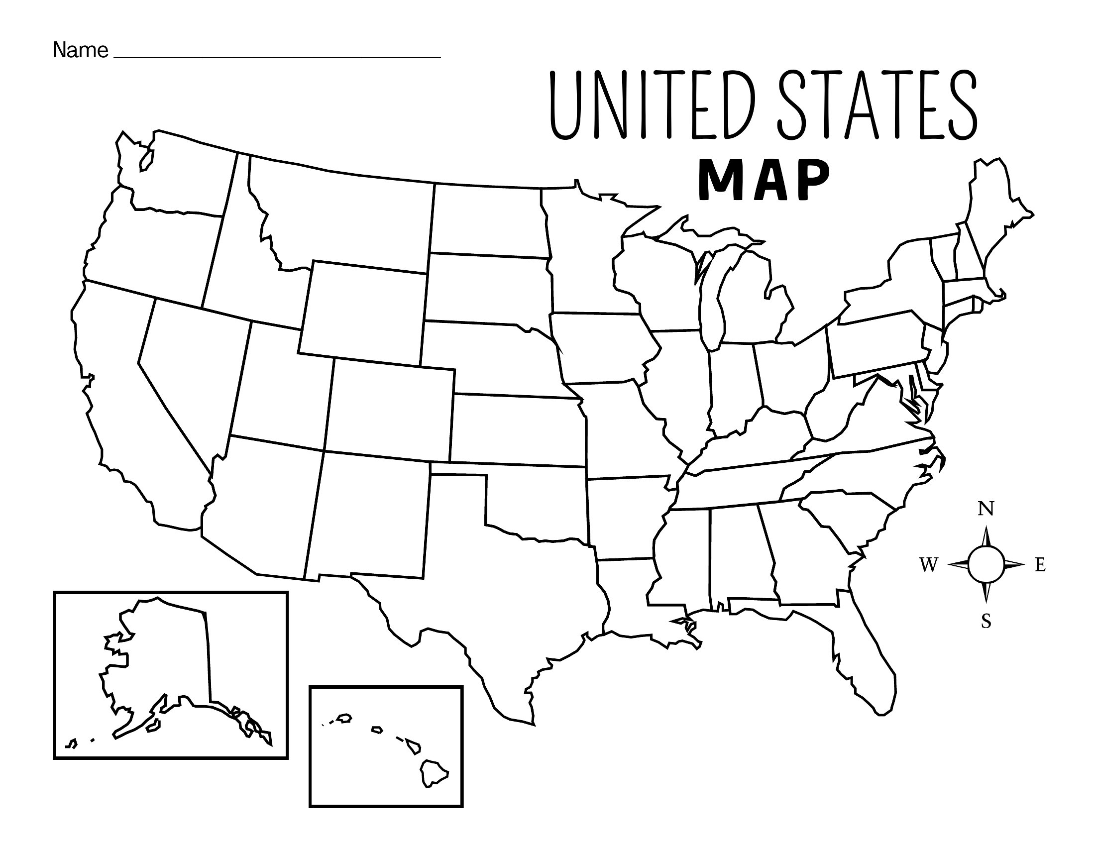
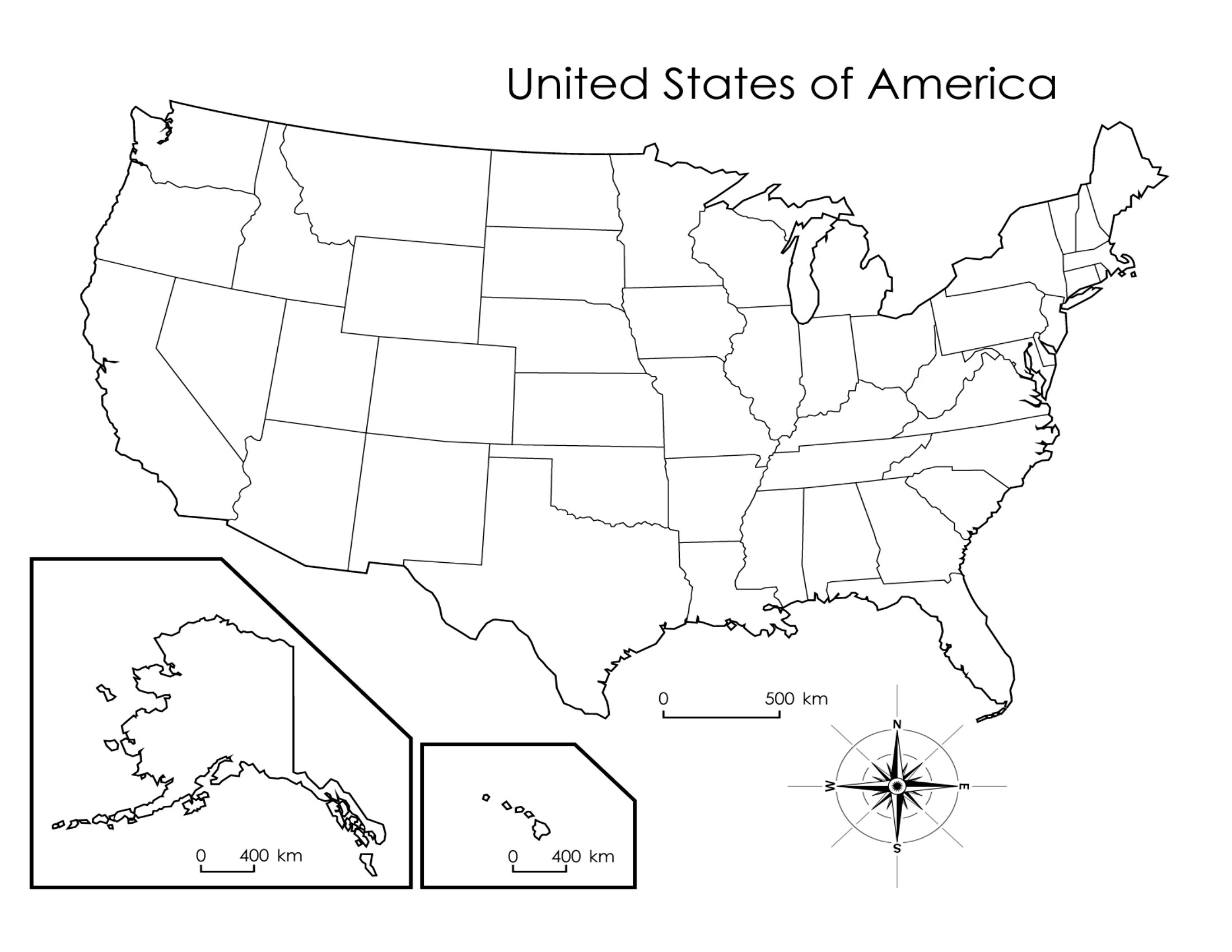
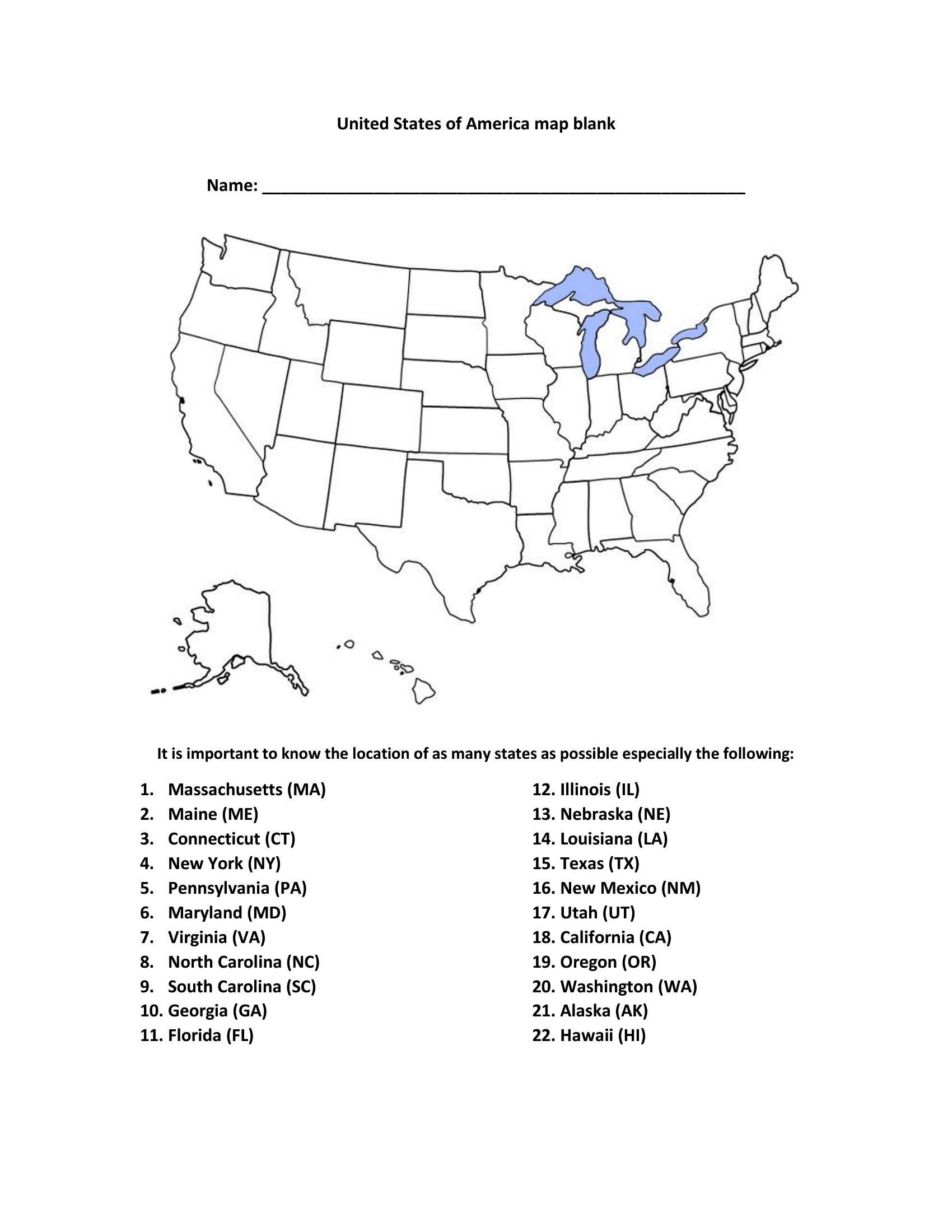
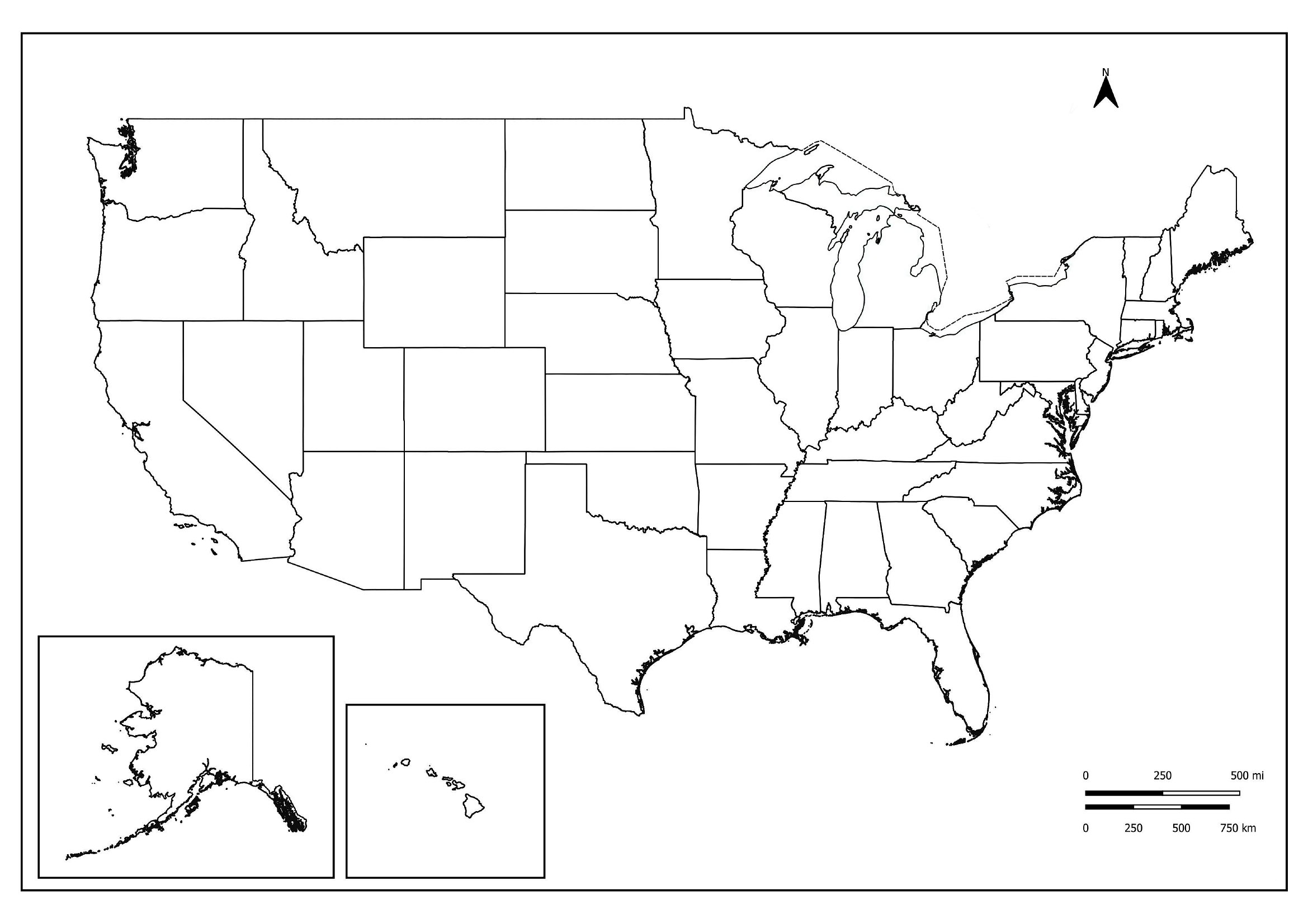
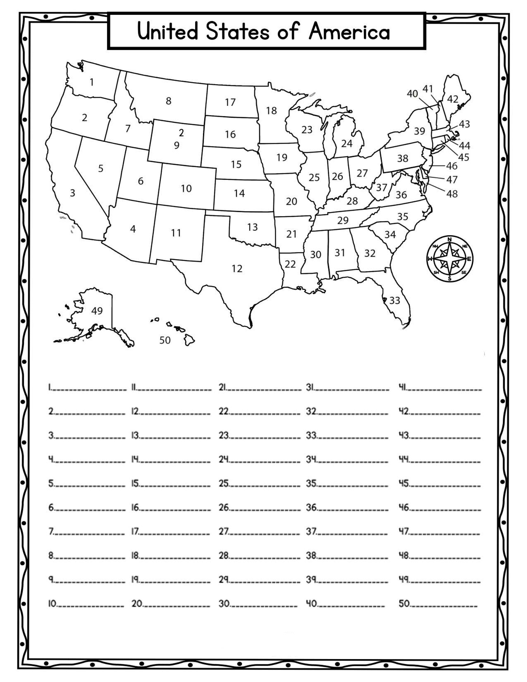
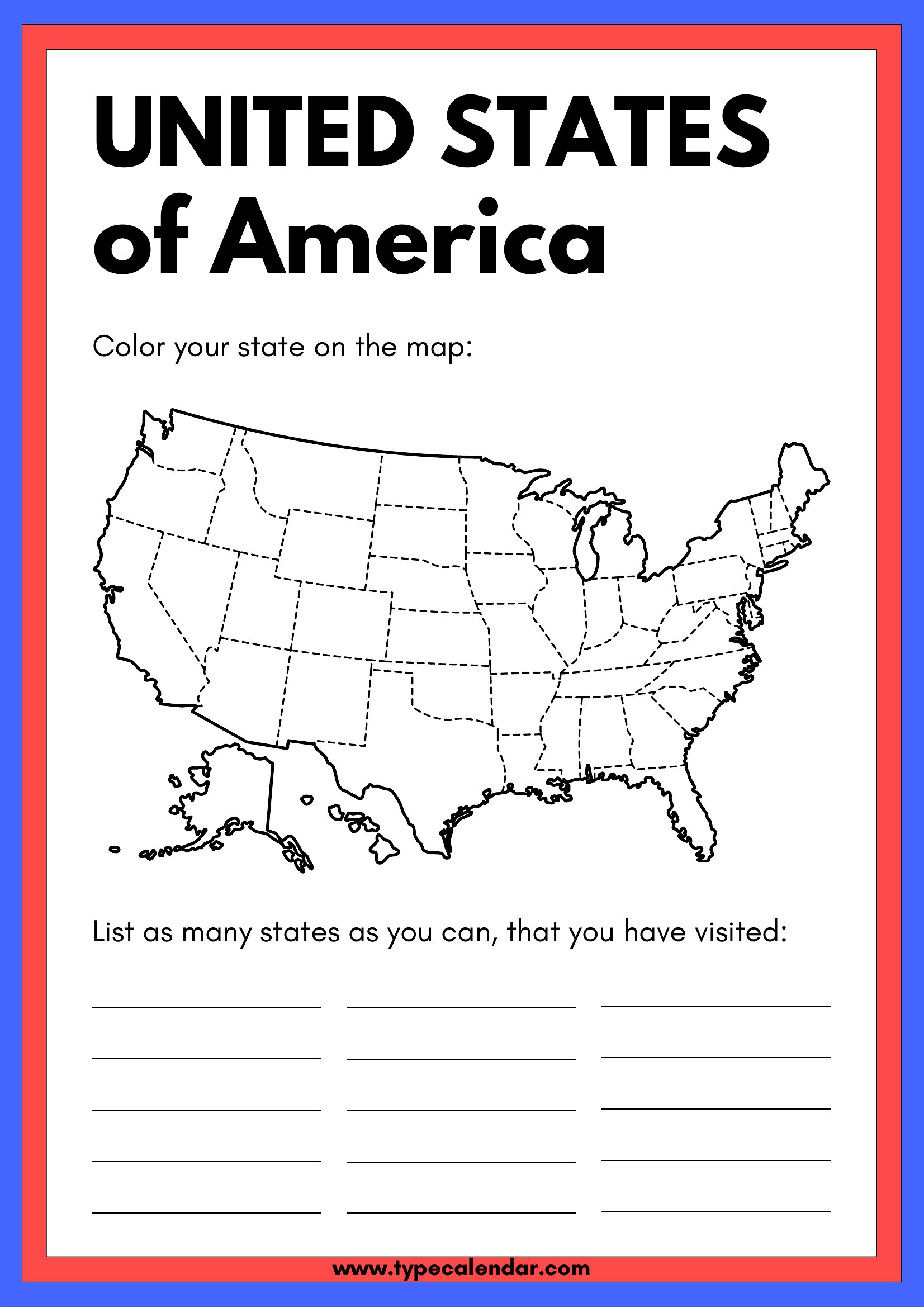
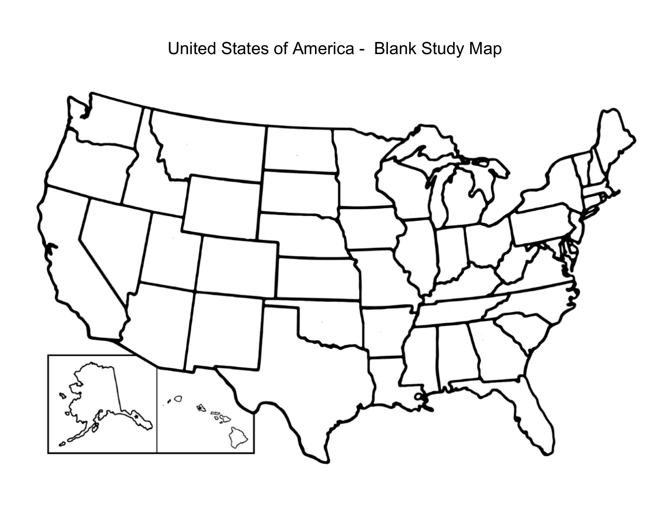
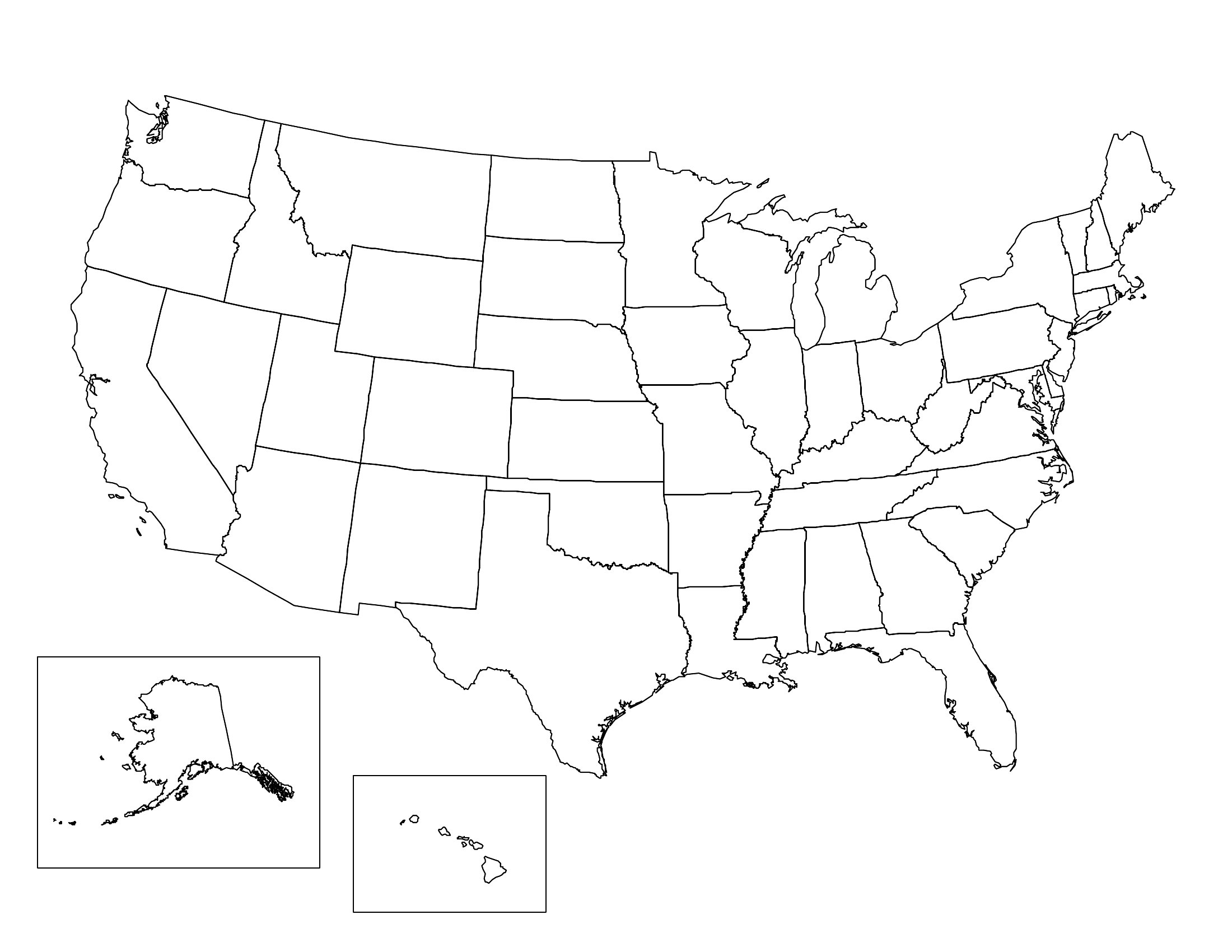
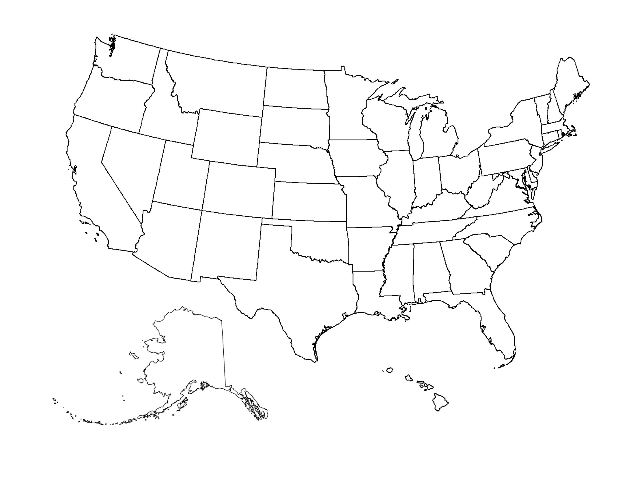
A blank map of the United States turns into whatever a lesson or project needs, from labeling state capitals to shading election results or planning a road trip. This set of 43 maps includes outlines with and without state borders, some with name lines and some left completely open. Teachers, students, and trivia fans can hand one out, fill it in, and turn rote memorization into something hands-on.
Every map prints cleanly as a PDF on standard letter paper, with crisp outlines that hold up to coloring, markers, or pencil. There's nothing to install or set up. Print a class set, grab a few for the kids, and start filling in the fifty states.
Choose from 43 Blank US Map Templates
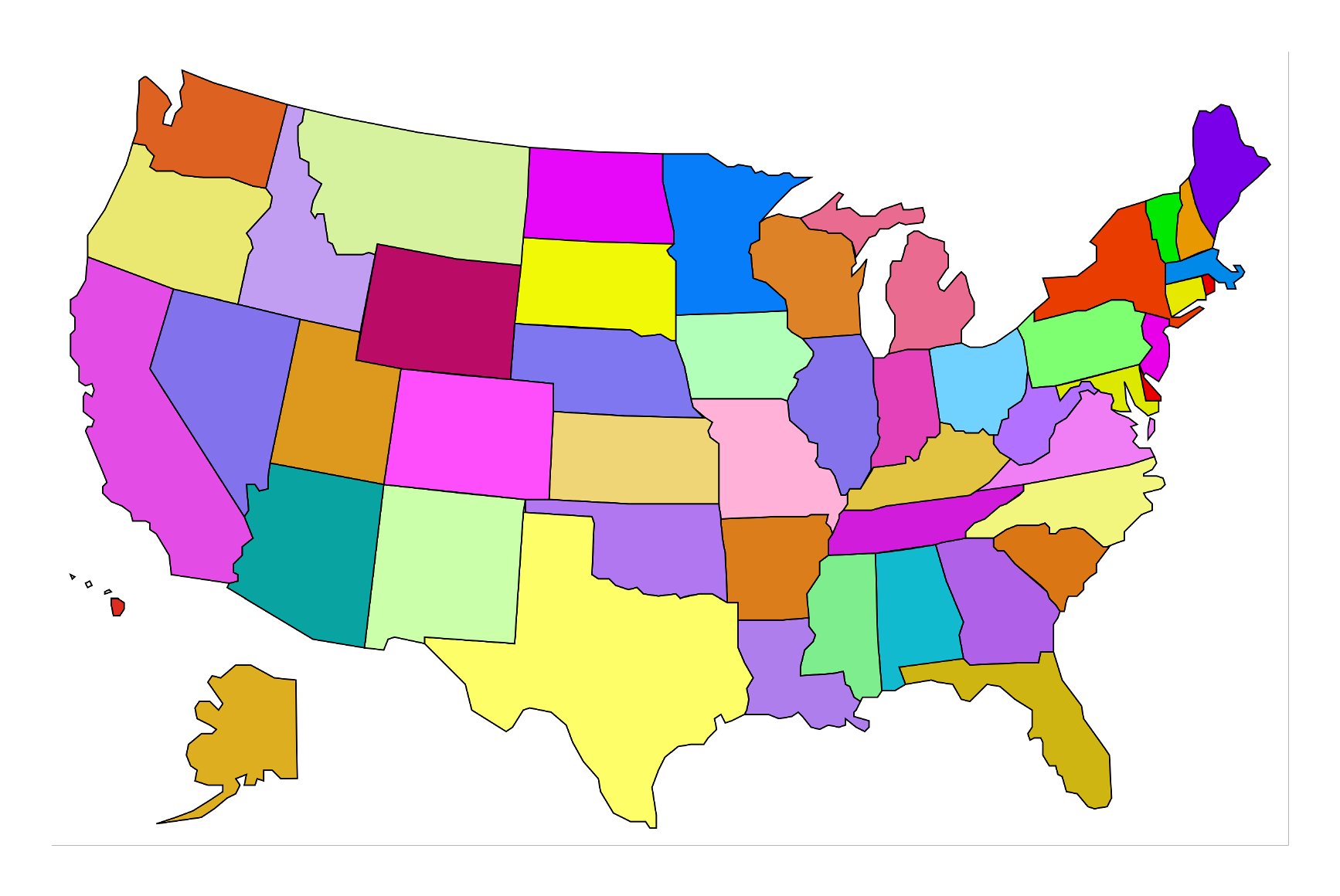
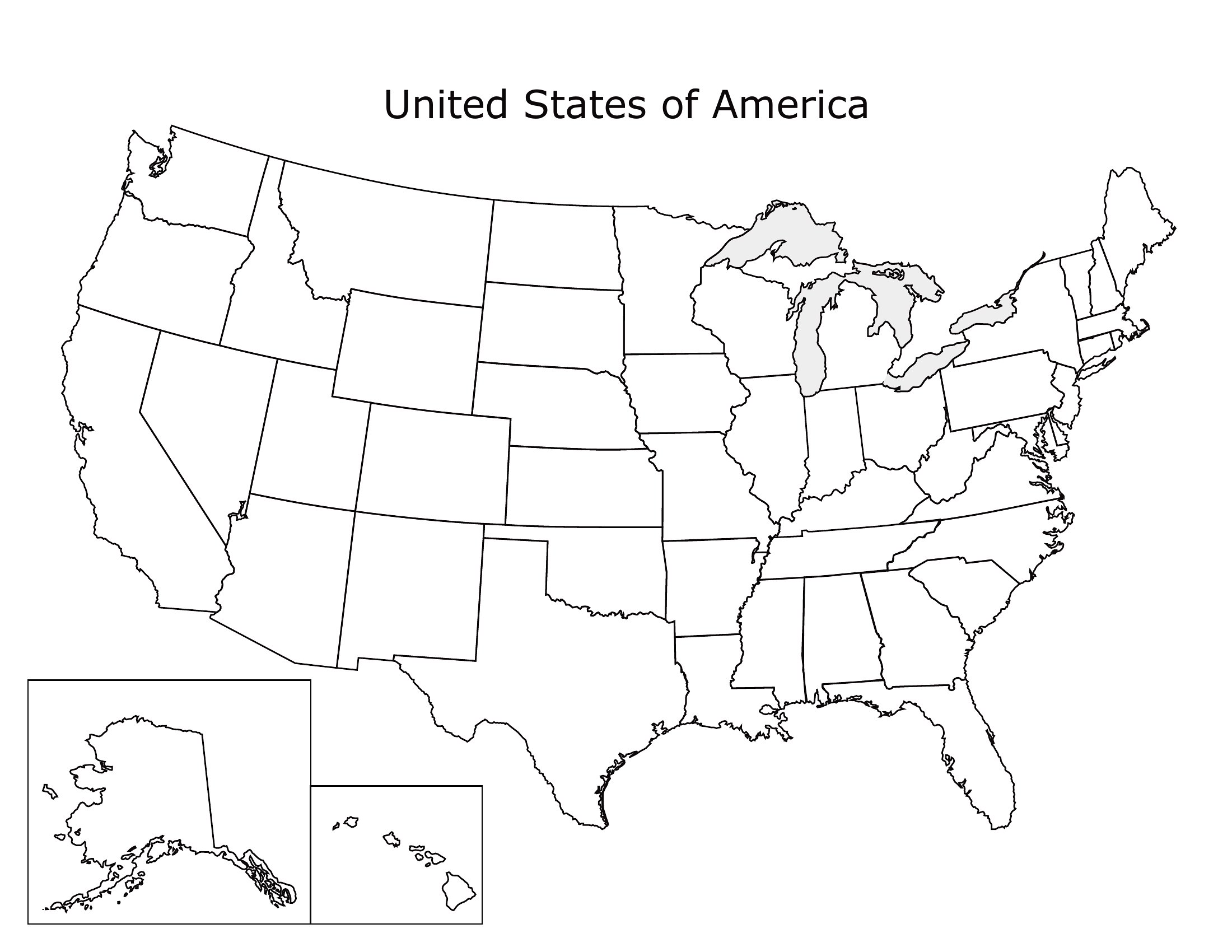
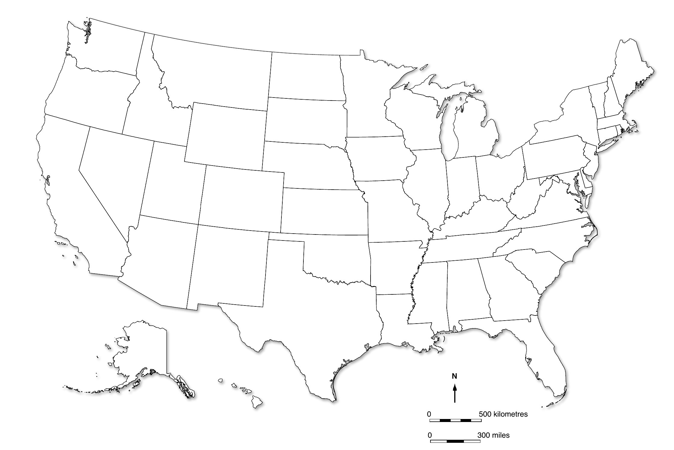
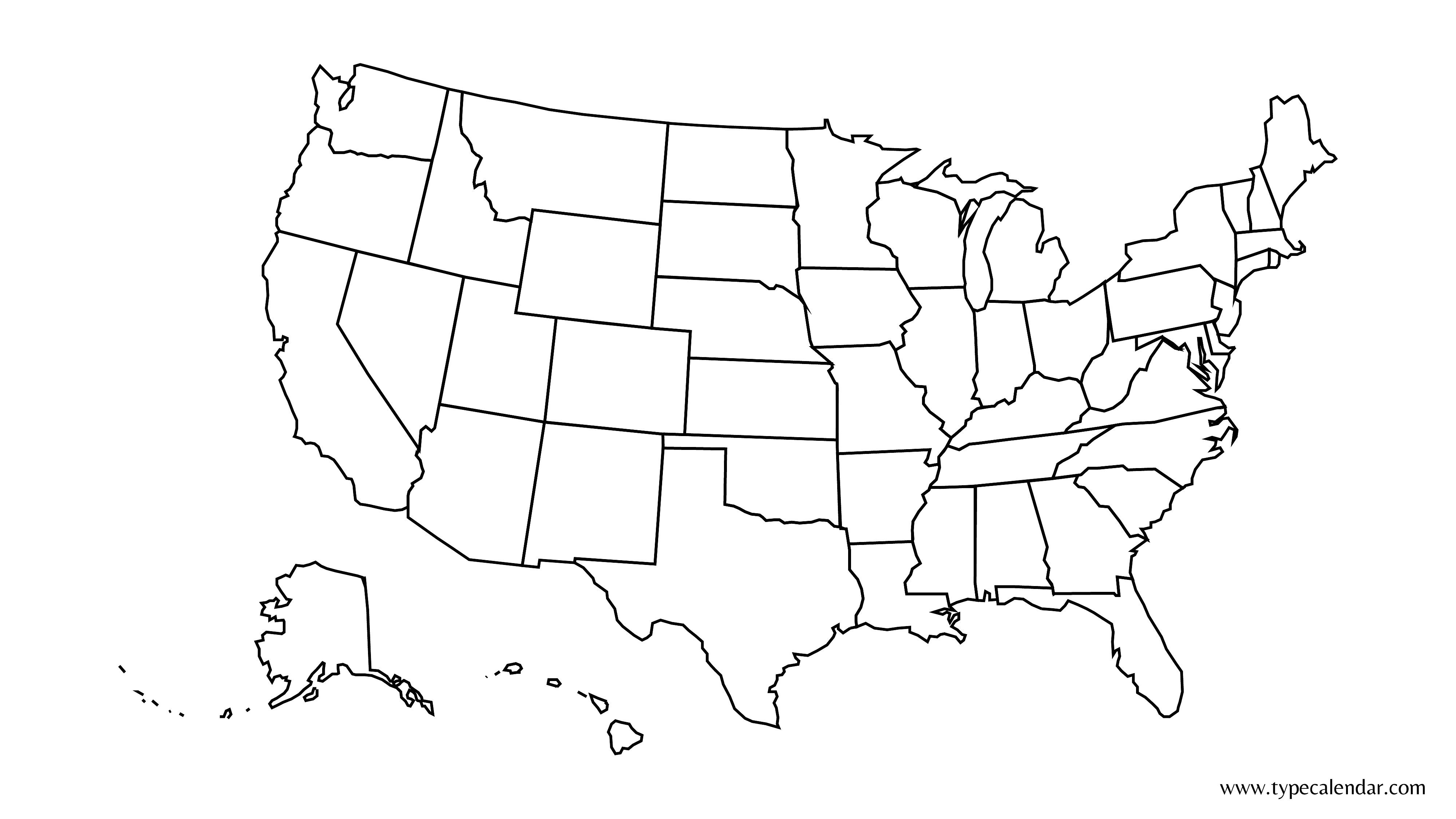
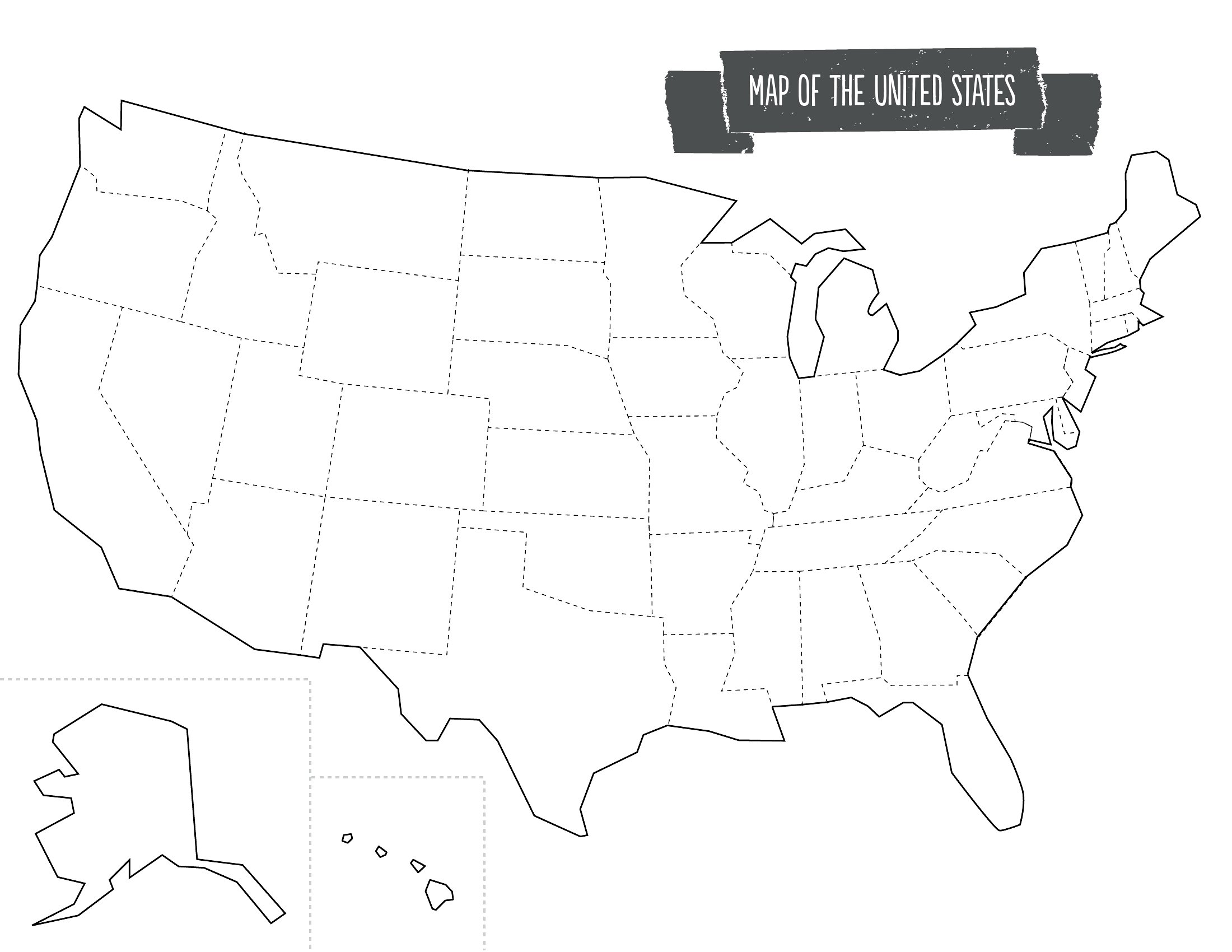
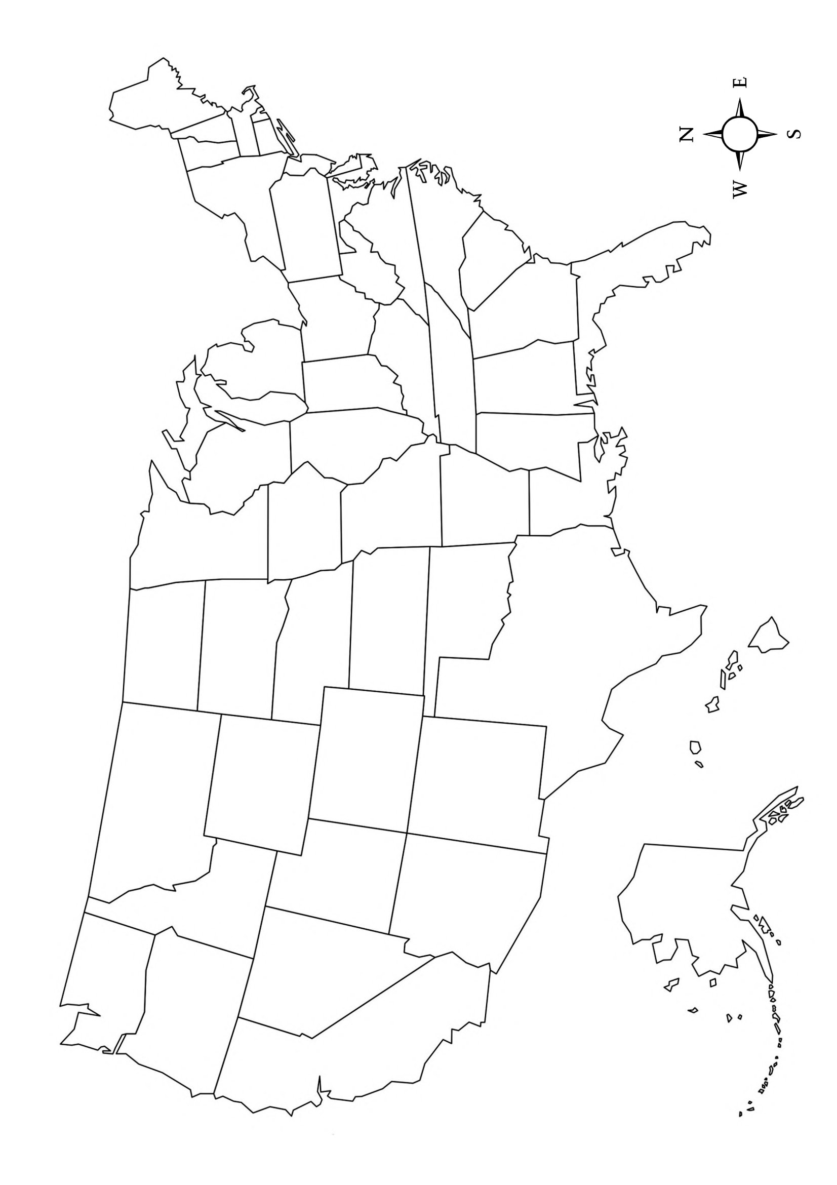
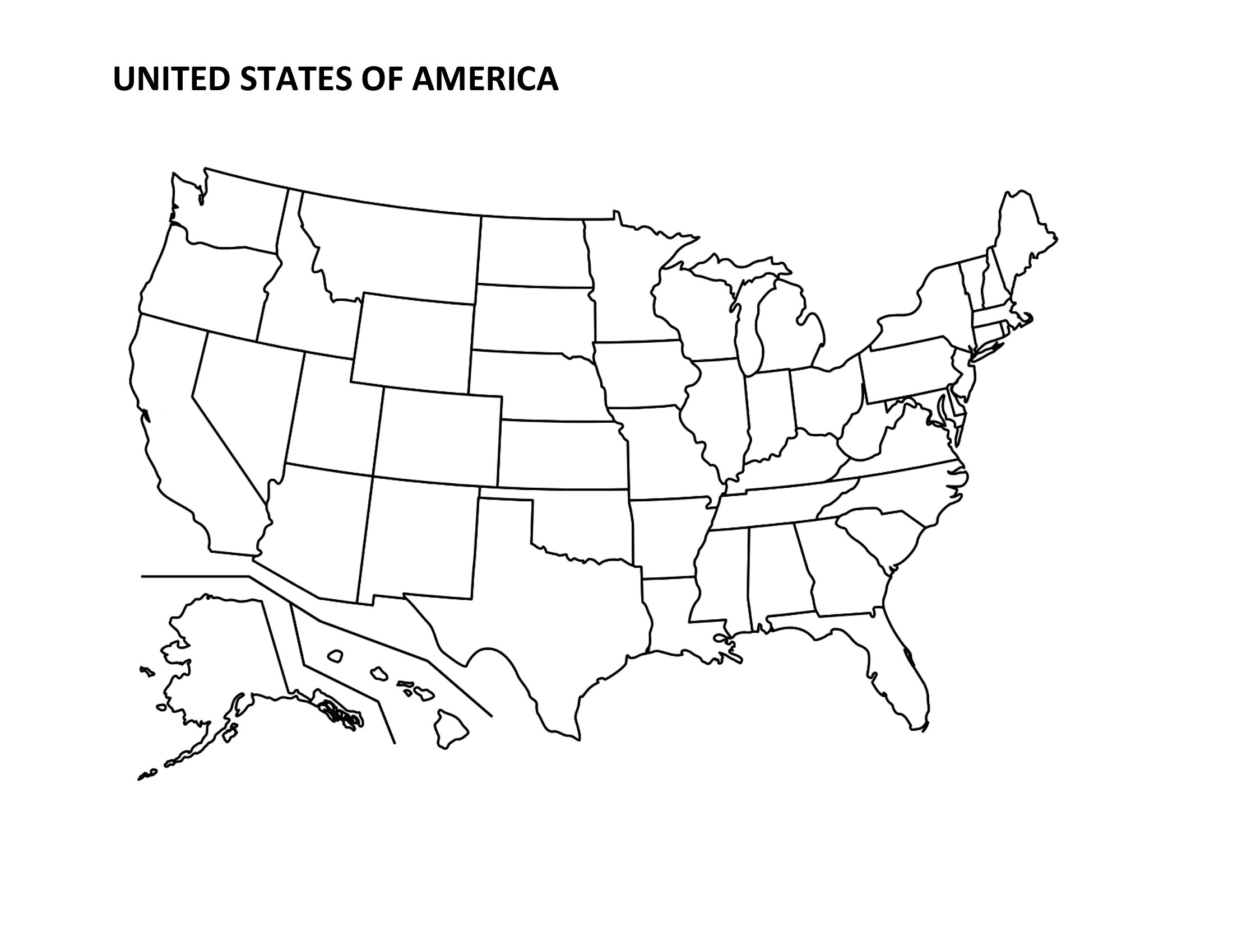
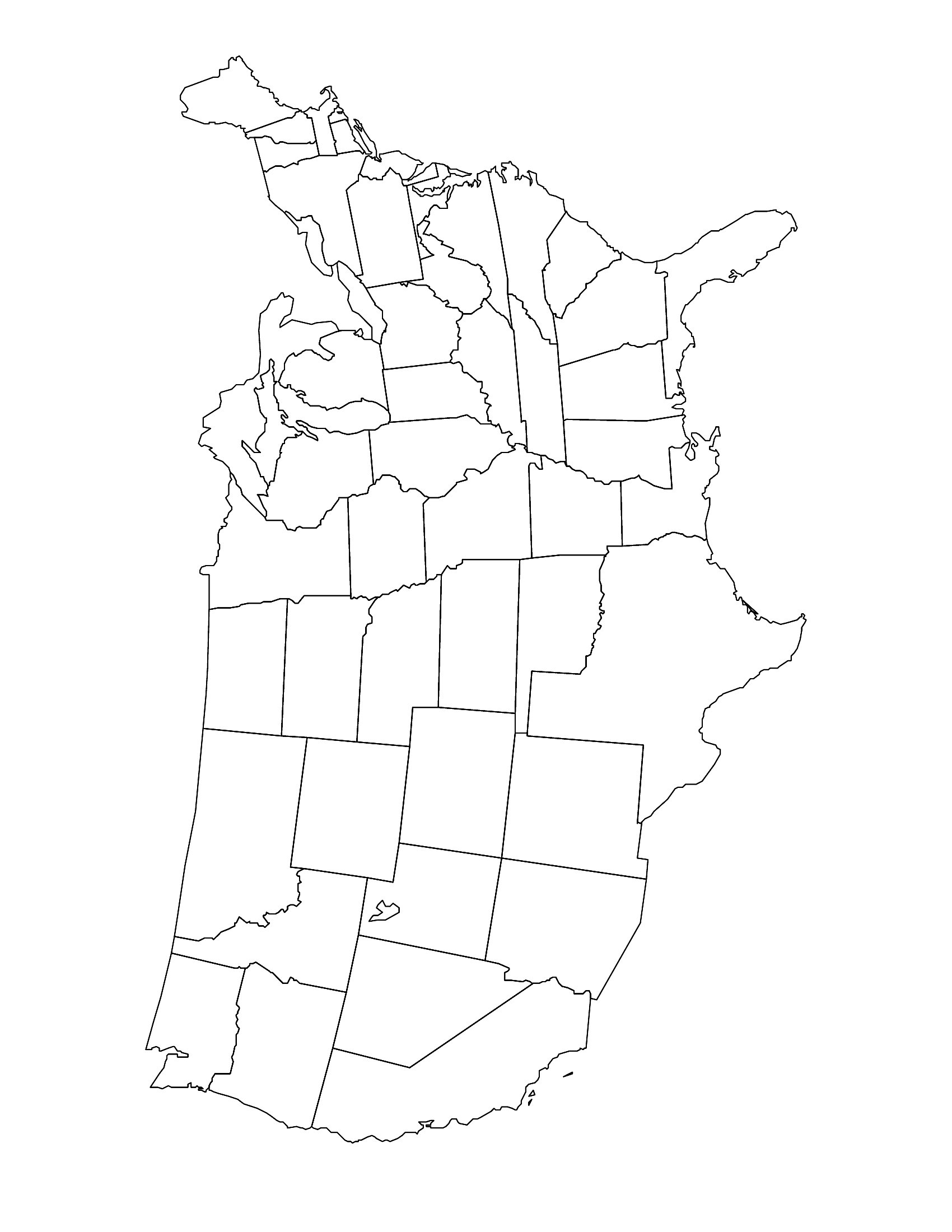
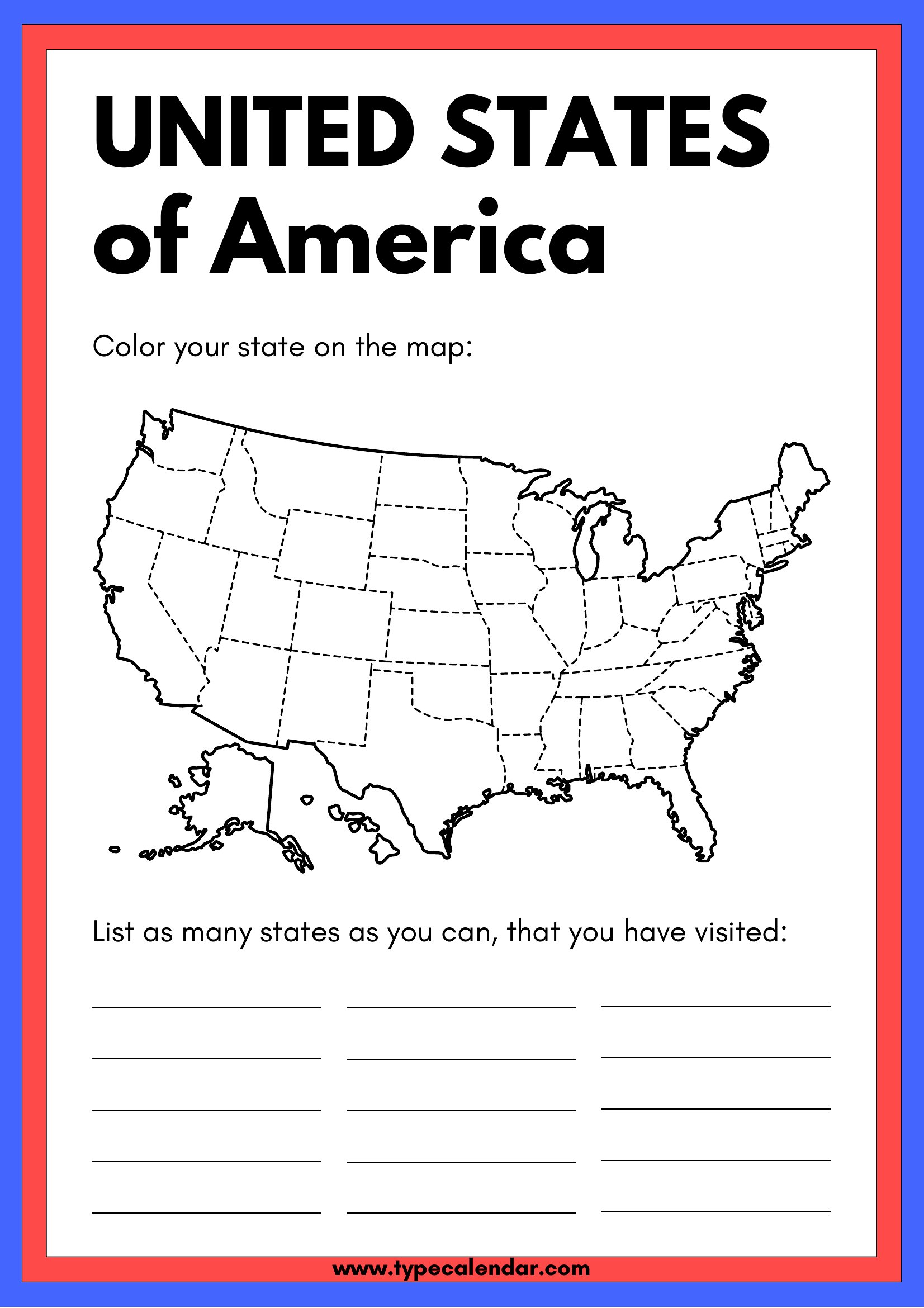
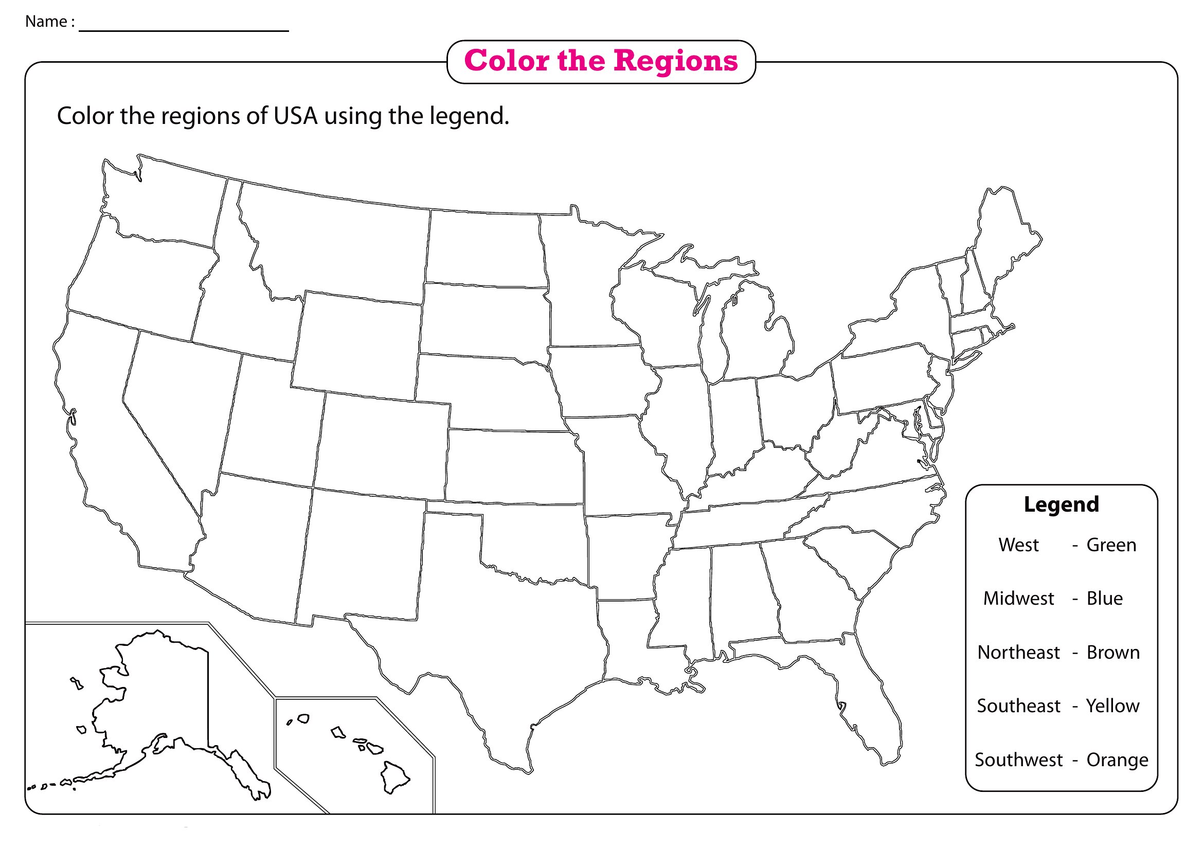
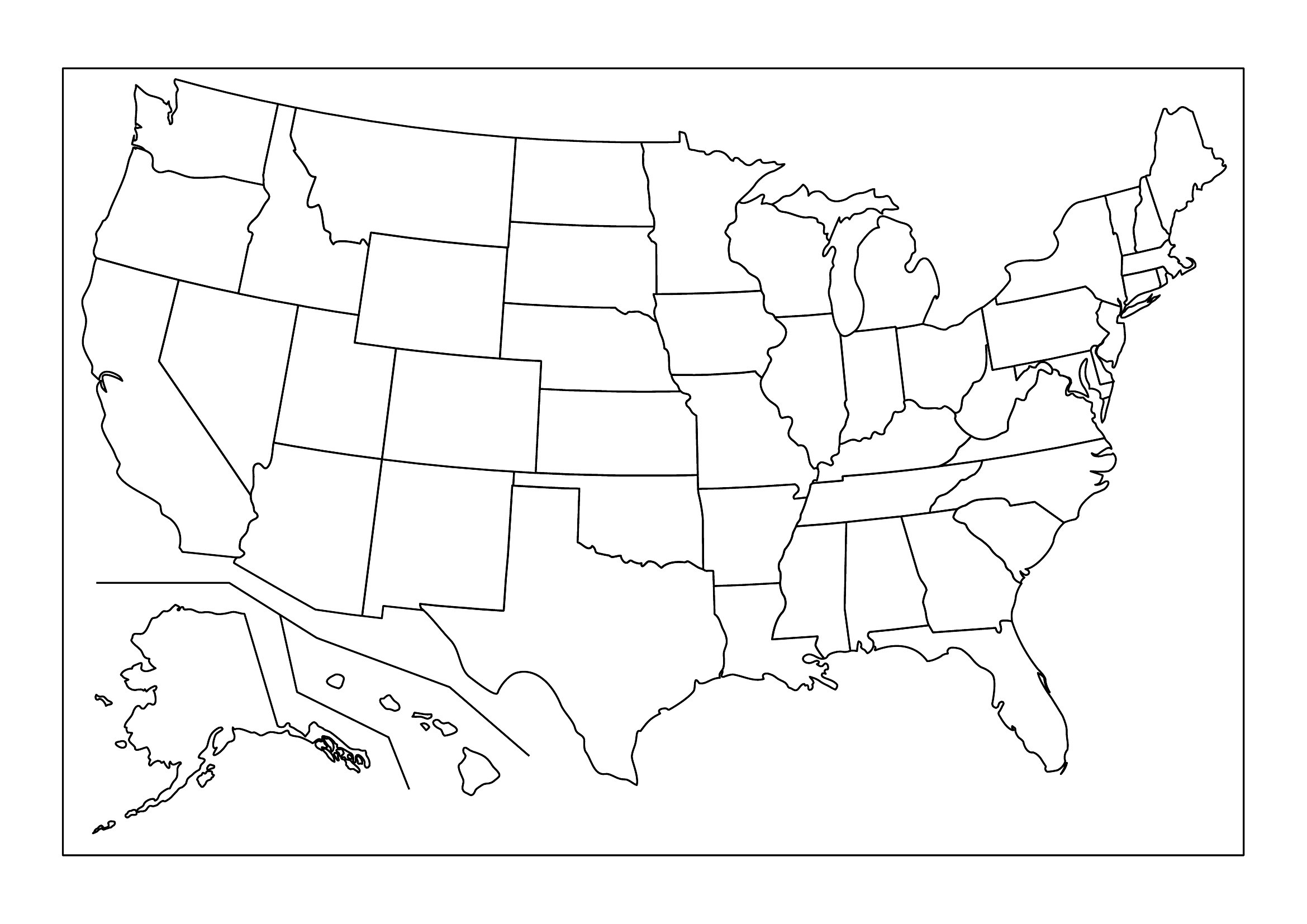
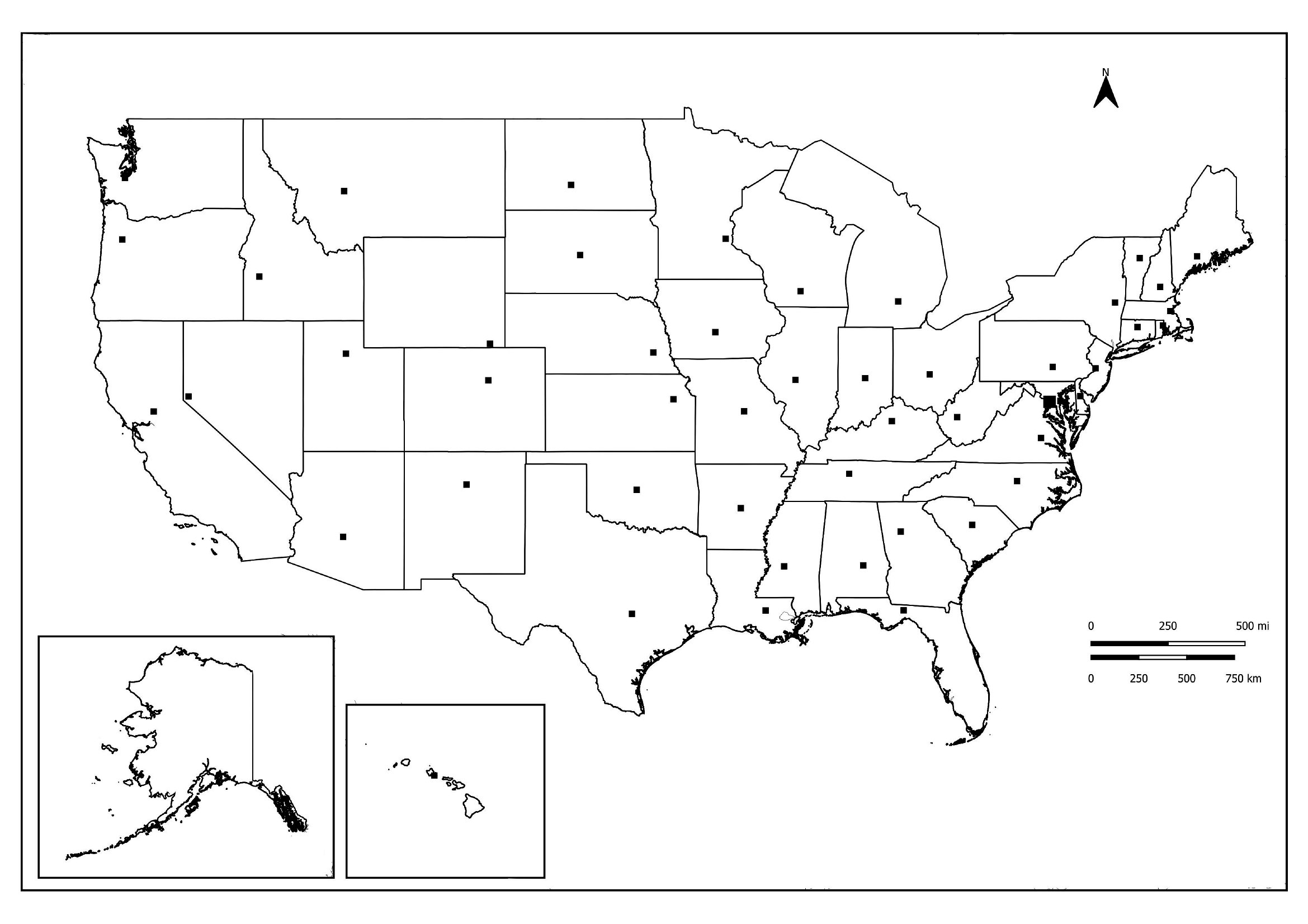
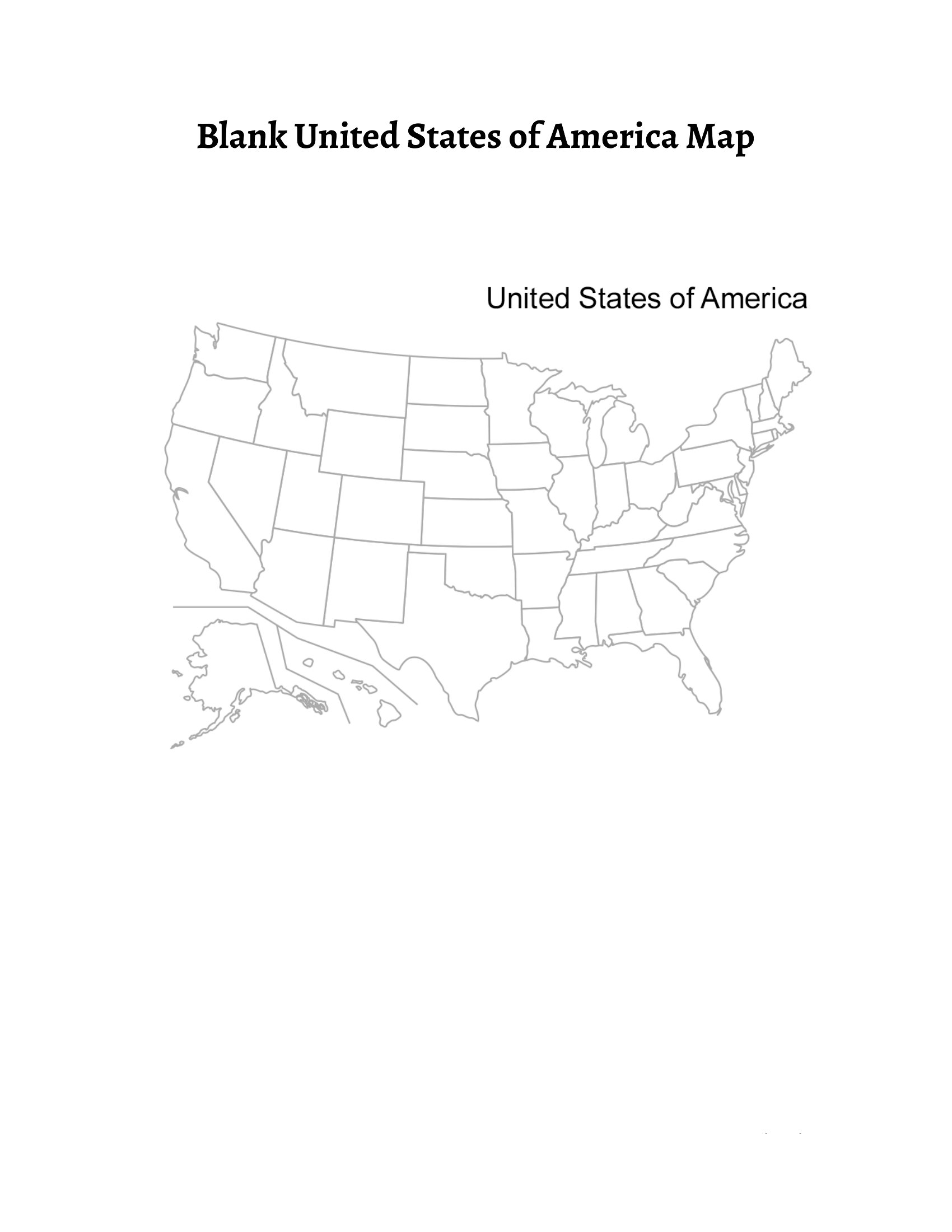
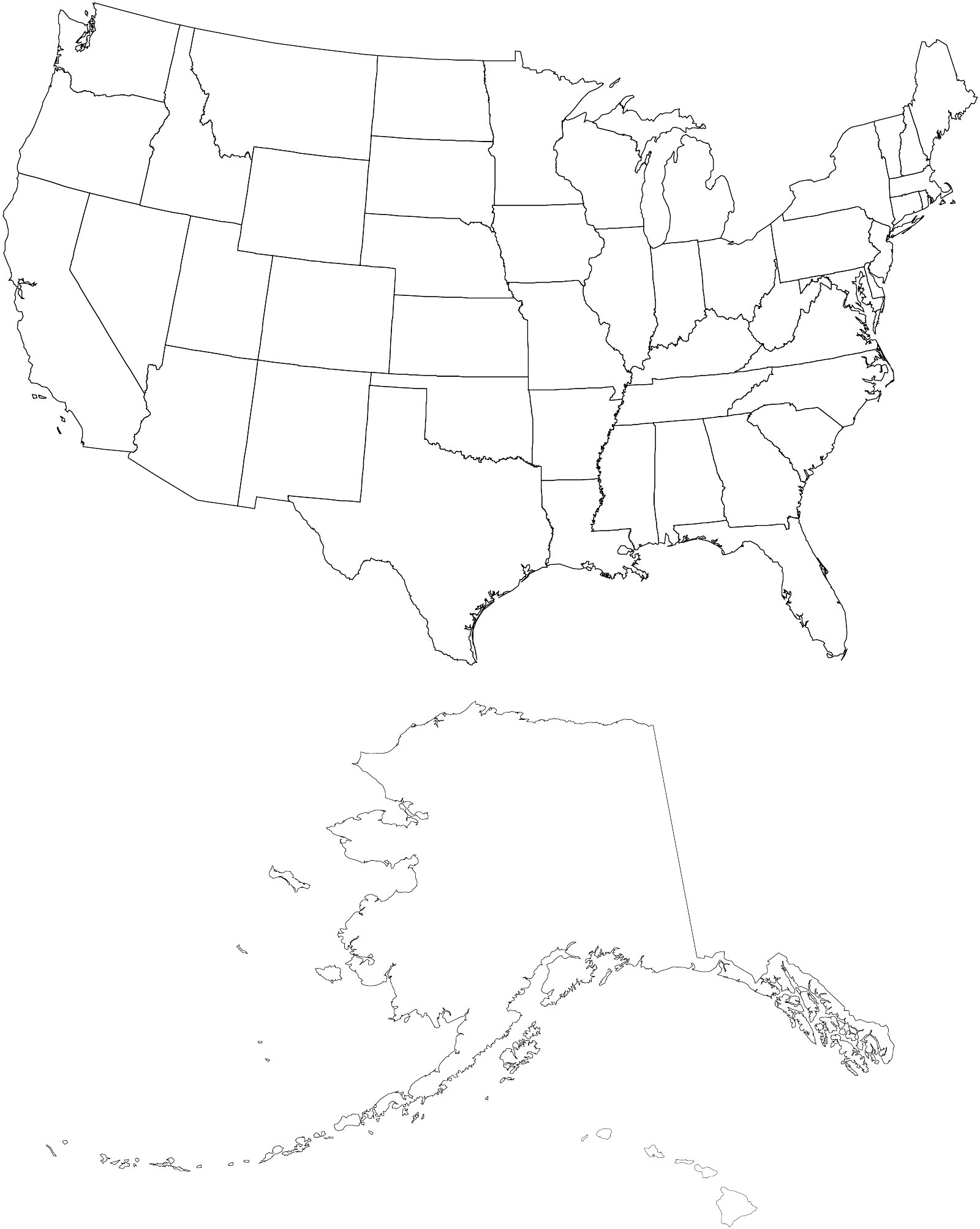
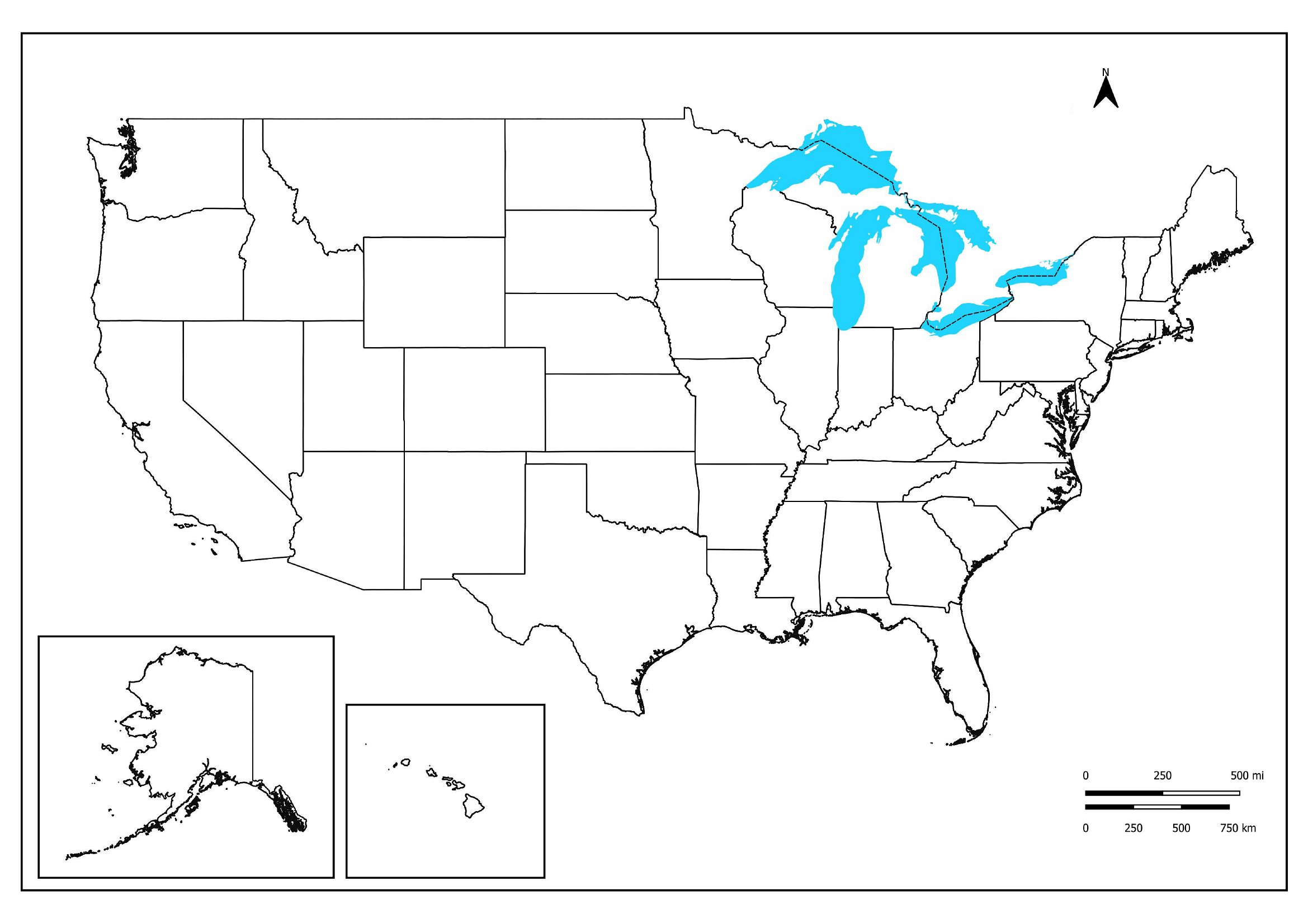
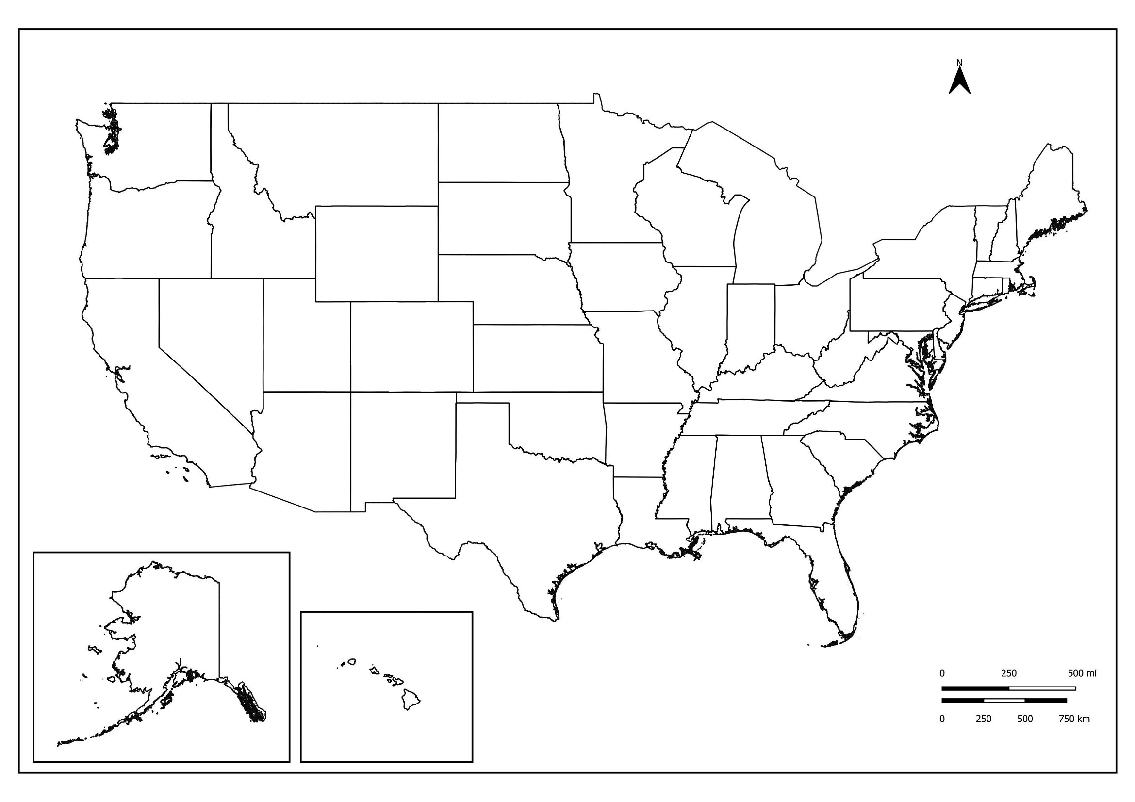
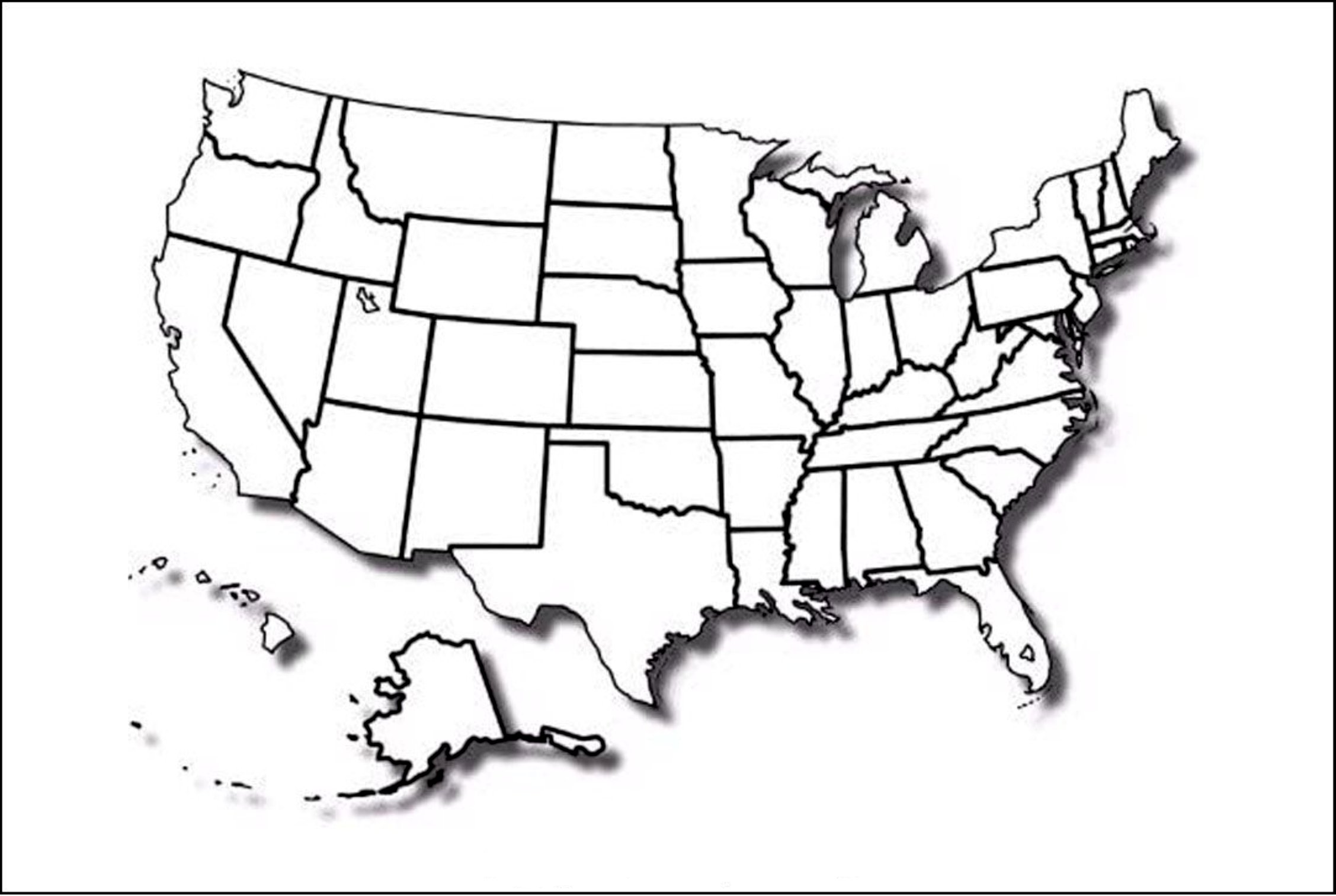
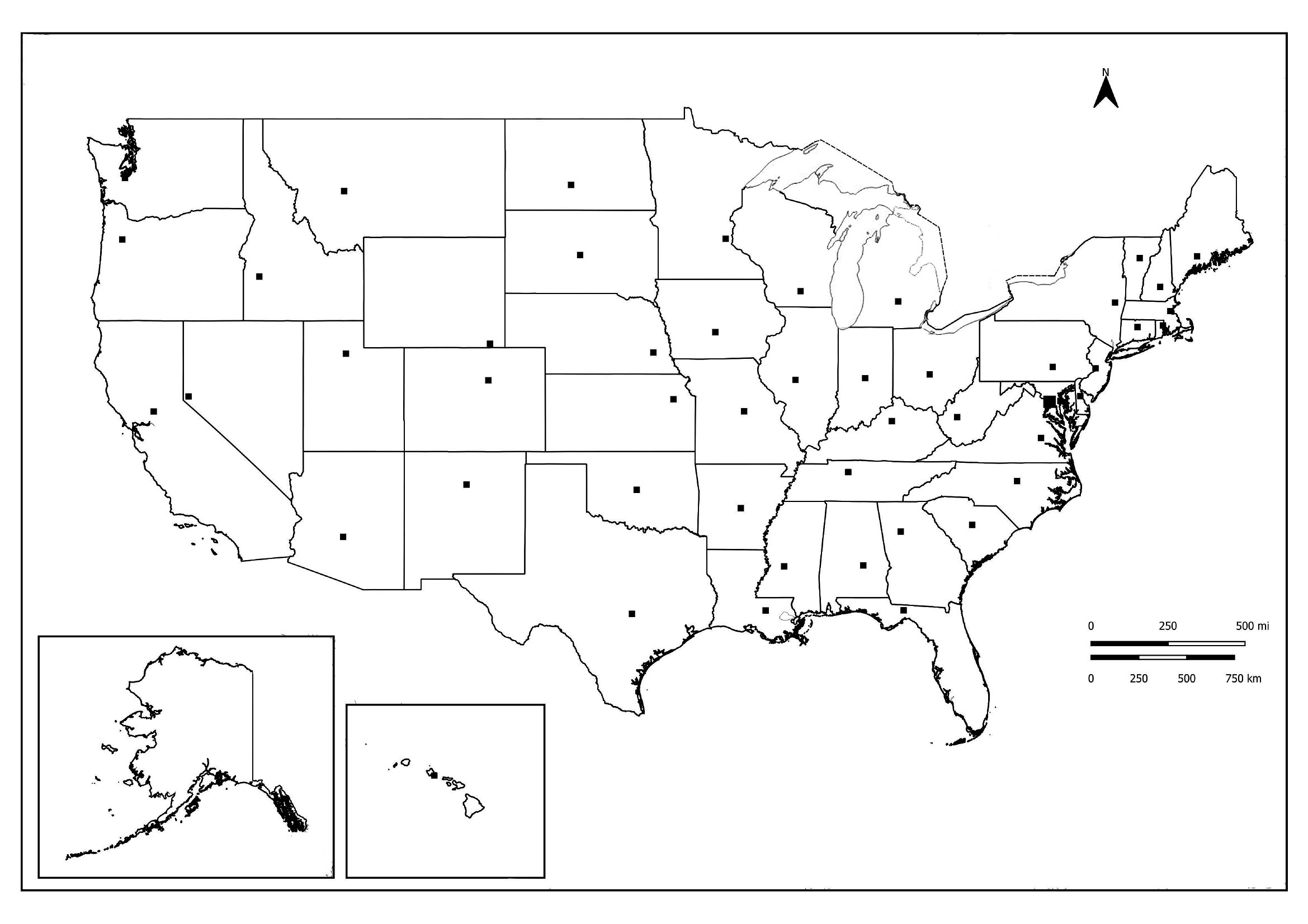
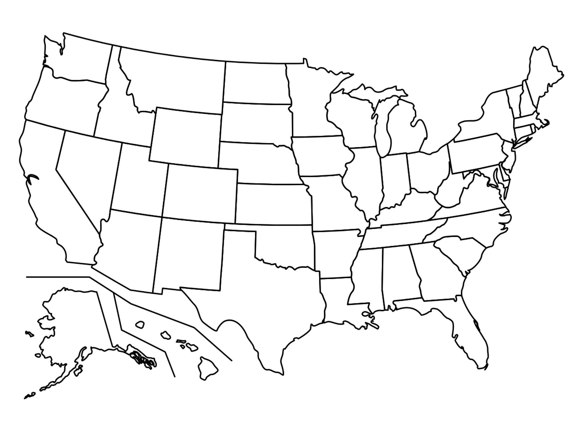
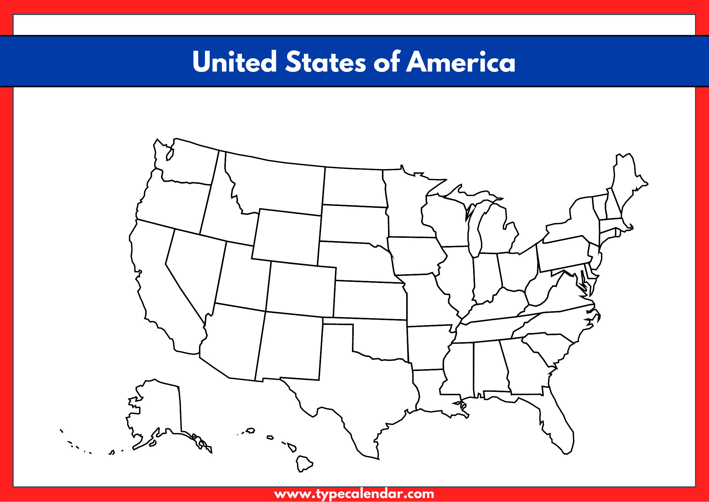
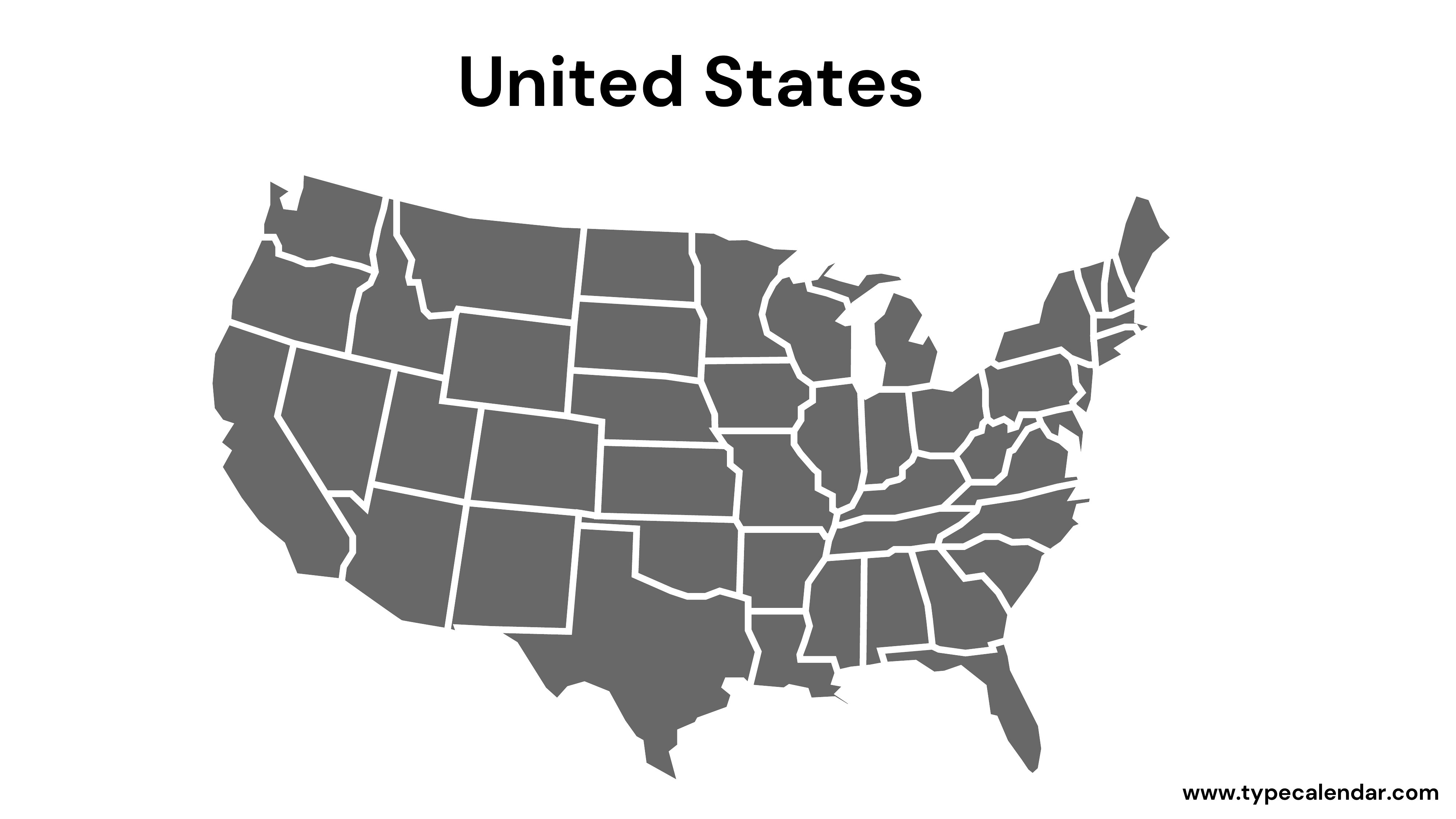
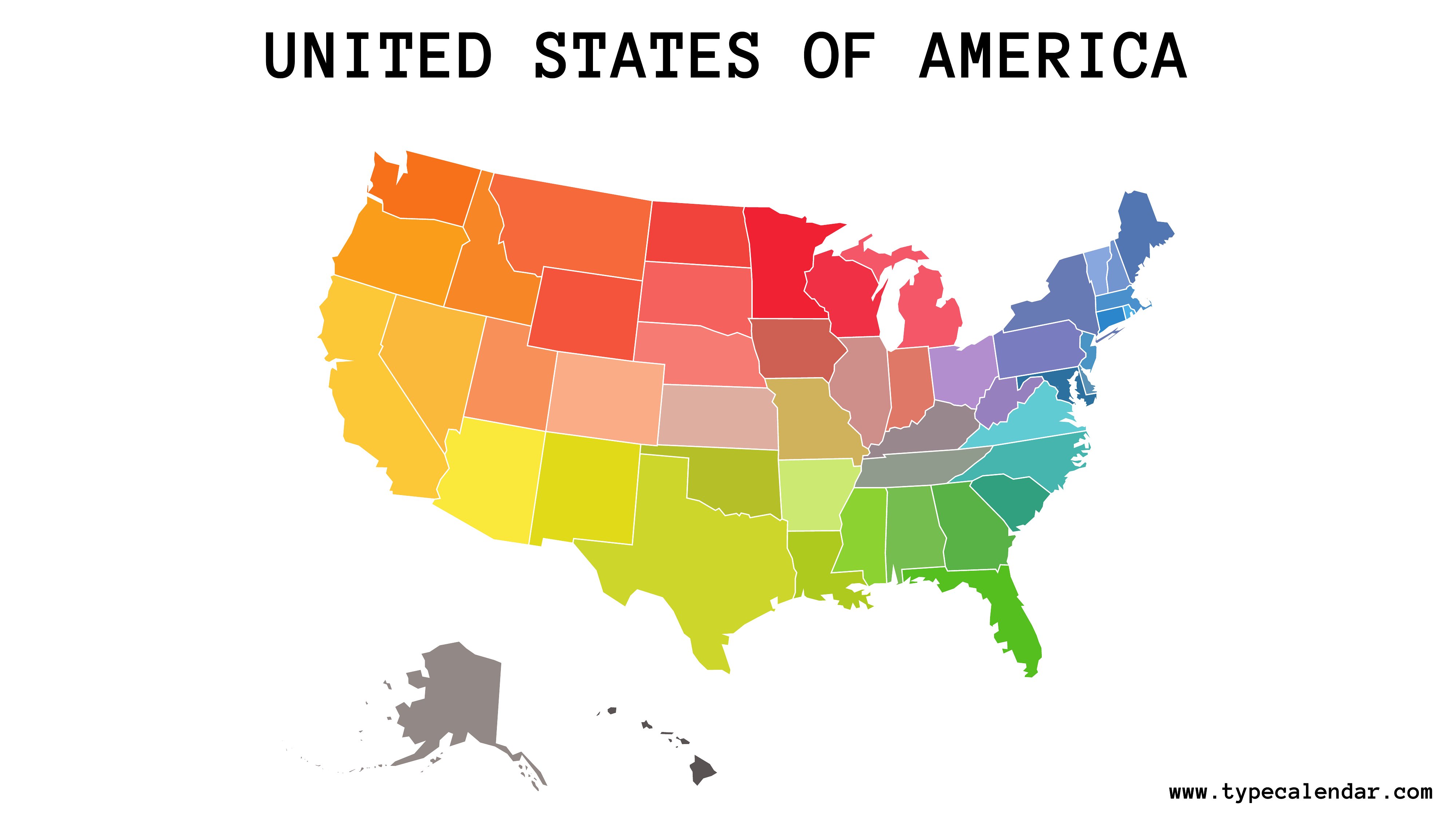
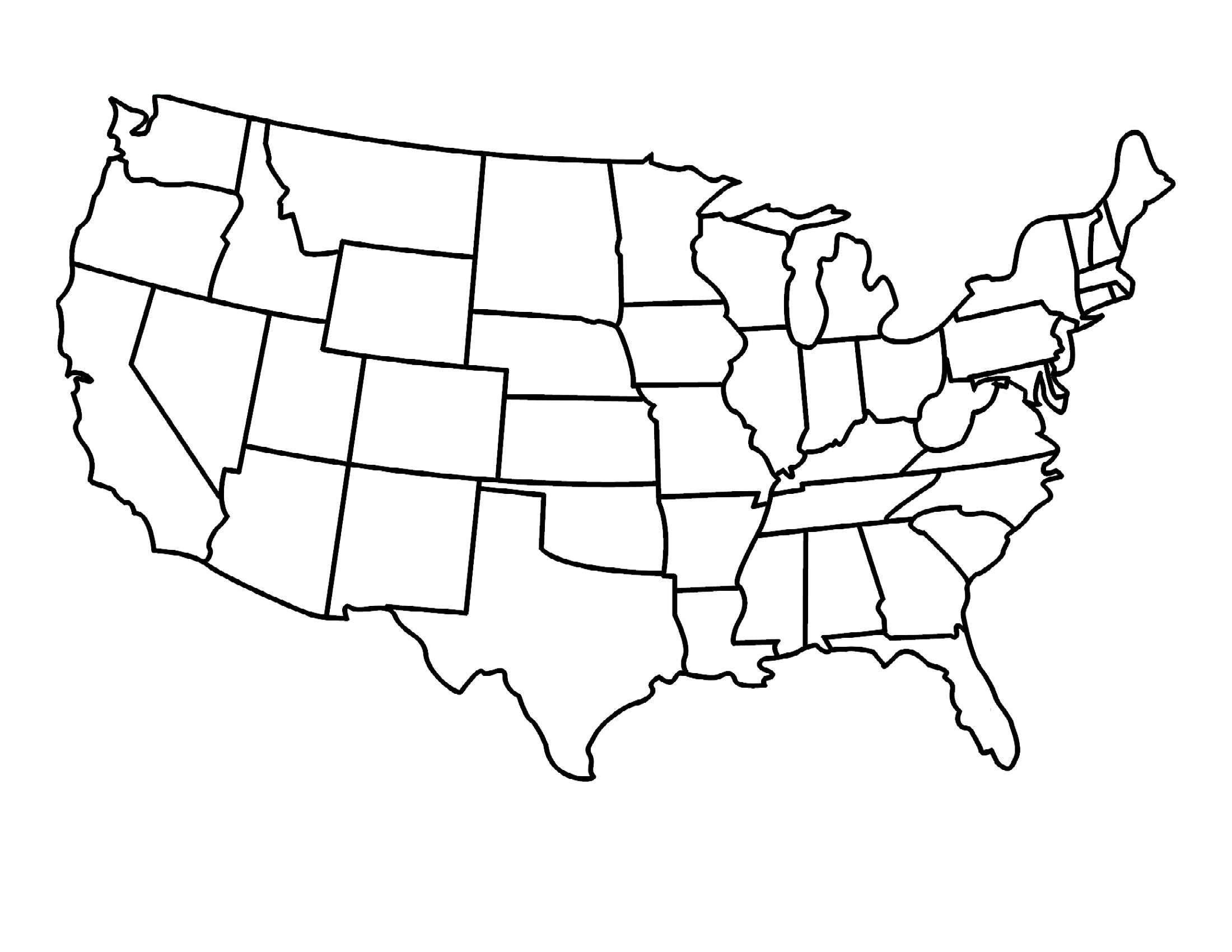
Blank Us Map Pdf
Frequently Asked Questions about Blank US Map Templates
Are these Blank US Map templates free to download?
Yes. Every Blank US Map template in this collection is free to download from TemplateSpark. Just open the template you need, download it, and start editing right away — no subscription required to get started.
What file formats are available for Blank US Map templates?
These Blank US Map templates are available in PDF. Pick the format that matches your workflow — each download keeps the original layout so it looks right whether you open, print, or share it.
Can I edit or fill in these Blank US Map PDF templates?
These Blank US Map templates are print-ready PDFs. You can fill them in with any PDF reader or print and complete them by hand — ideal when you want a clean, consistent layout without changing the original design.
How many Blank US Map templates can I choose from?
This page collects 43 Blank US Map templates so you can compare styles and layouts in one place. Browse the options, open the one that fits your purpose best, and download it in your preferred format.
Can I use Blank US Map templates for commercial purposes?
In most cases, yes — these Blank US Map templates are intended for both personal and business use. Check the license note on the template before redistributing or reselling, and avoid sharing the source files as your own product.
What is a blank US map used for?
A blank US map is an unlabeled outline of the United States that you fill in for lessons or projects. People use it to label state capitals, shade regions, mark election results, plan road trips, or quiz themselves on geography by writing in state names and details.
What is the difference between a blank US map with and without state borders?
A map with state borders shows the divisions between states, helping with labeling individual states and capitals. A map without borders gives just the country outline, which suits broader exercises like marking regions, climate zones, or travel routes where internal boundaries would clutter the picture.
How can teachers use a blank US map in the classroom?
Teachers use blank US maps for geography quizzes, labeling states and capitals, illustrating historical events, and tracking themes like climate, population, or resources. Versions with name lines guide younger students, while completely open outlines let older learners practice recalling locations and adding their own annotations.
Comments
Join the conversation
Sign in to share your thoughts and leave a comment on this resource.