
Free Printable Blank US Maps (PDF)
Diagrams by hansadolfscholz
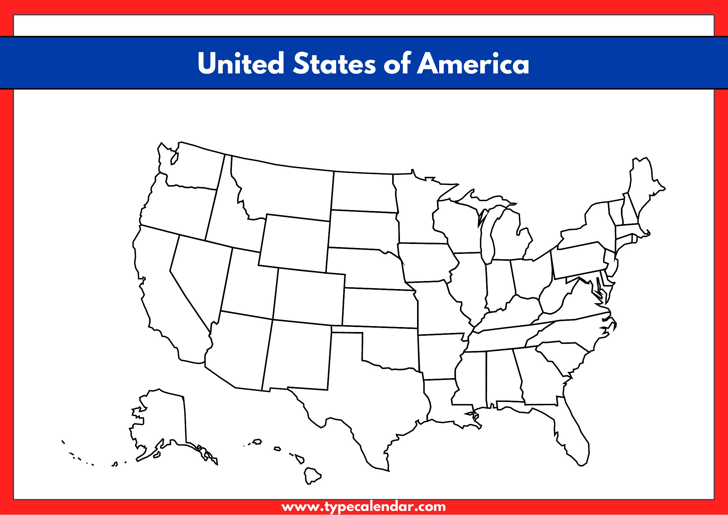
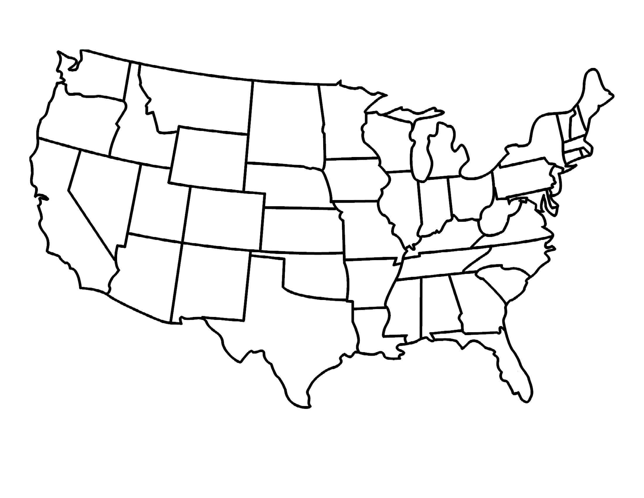
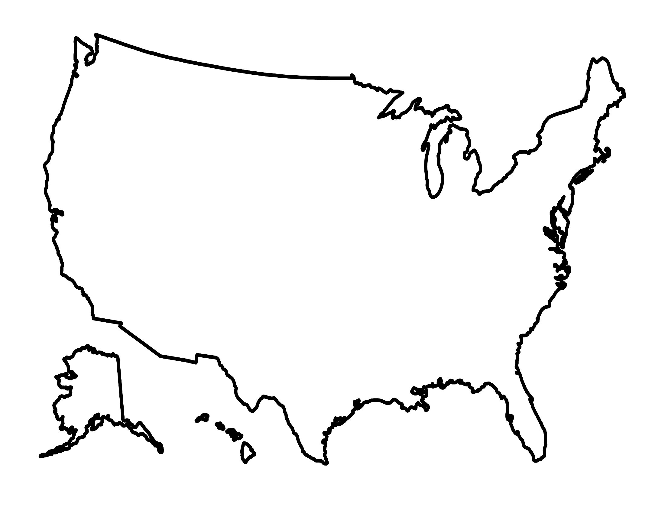
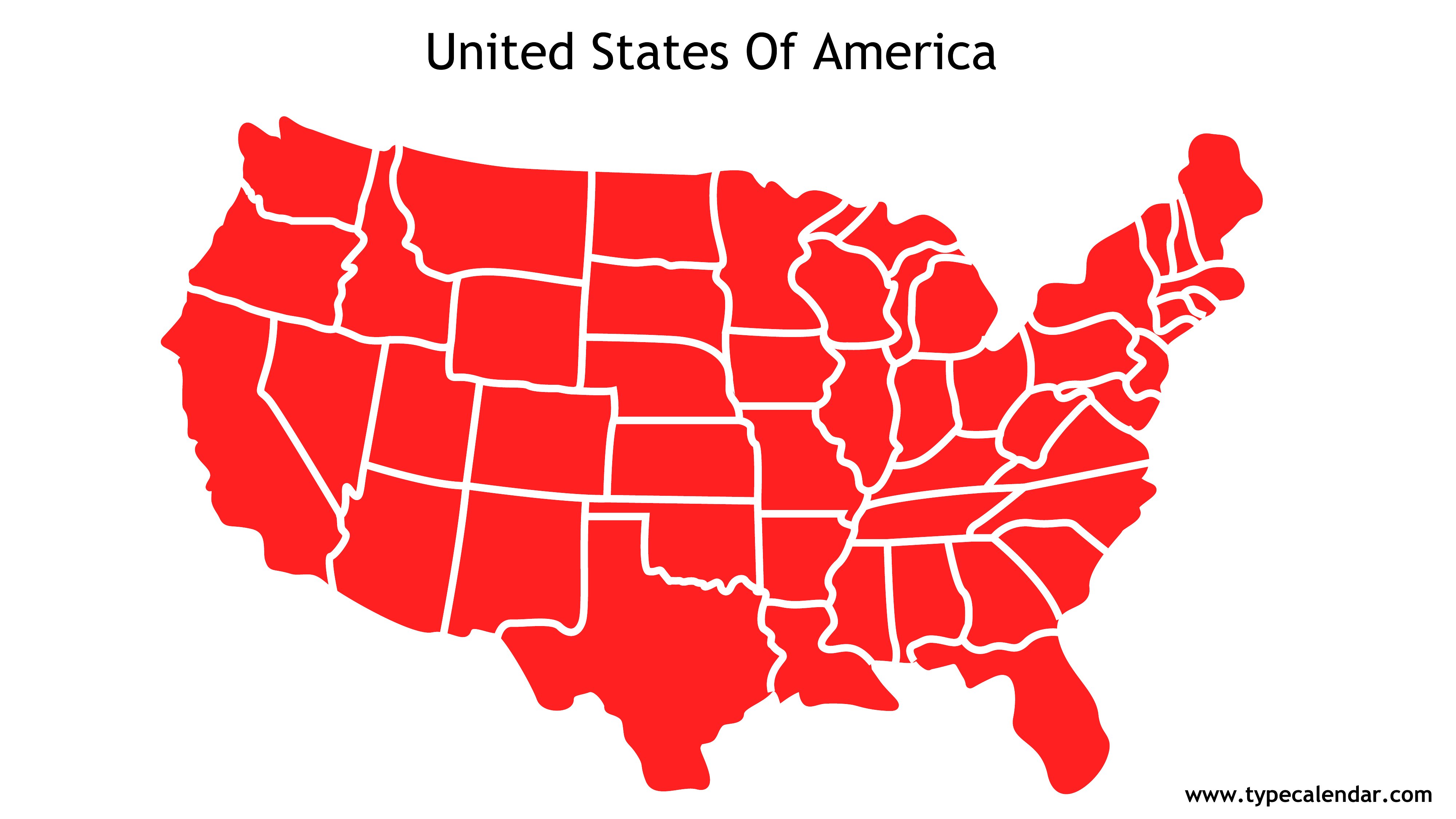
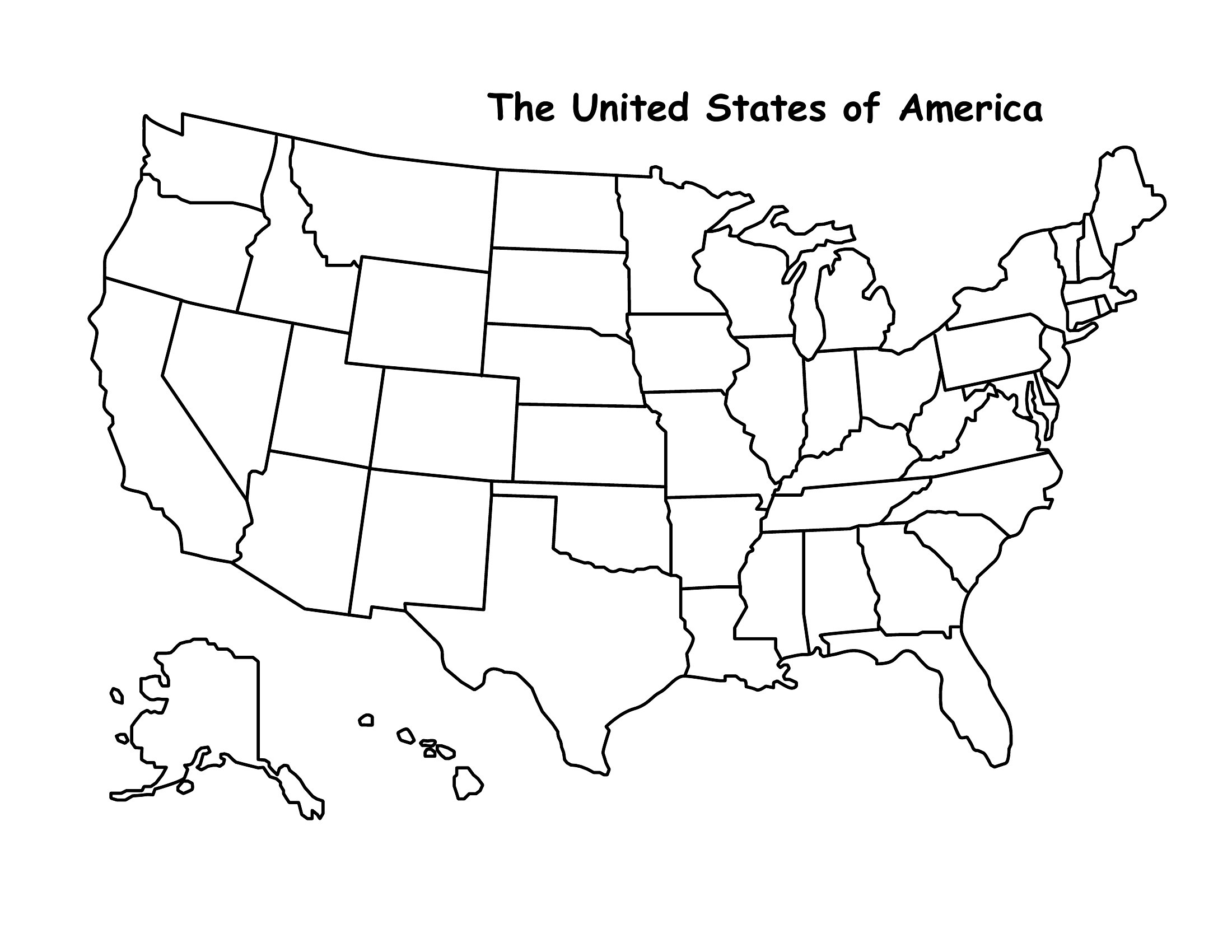
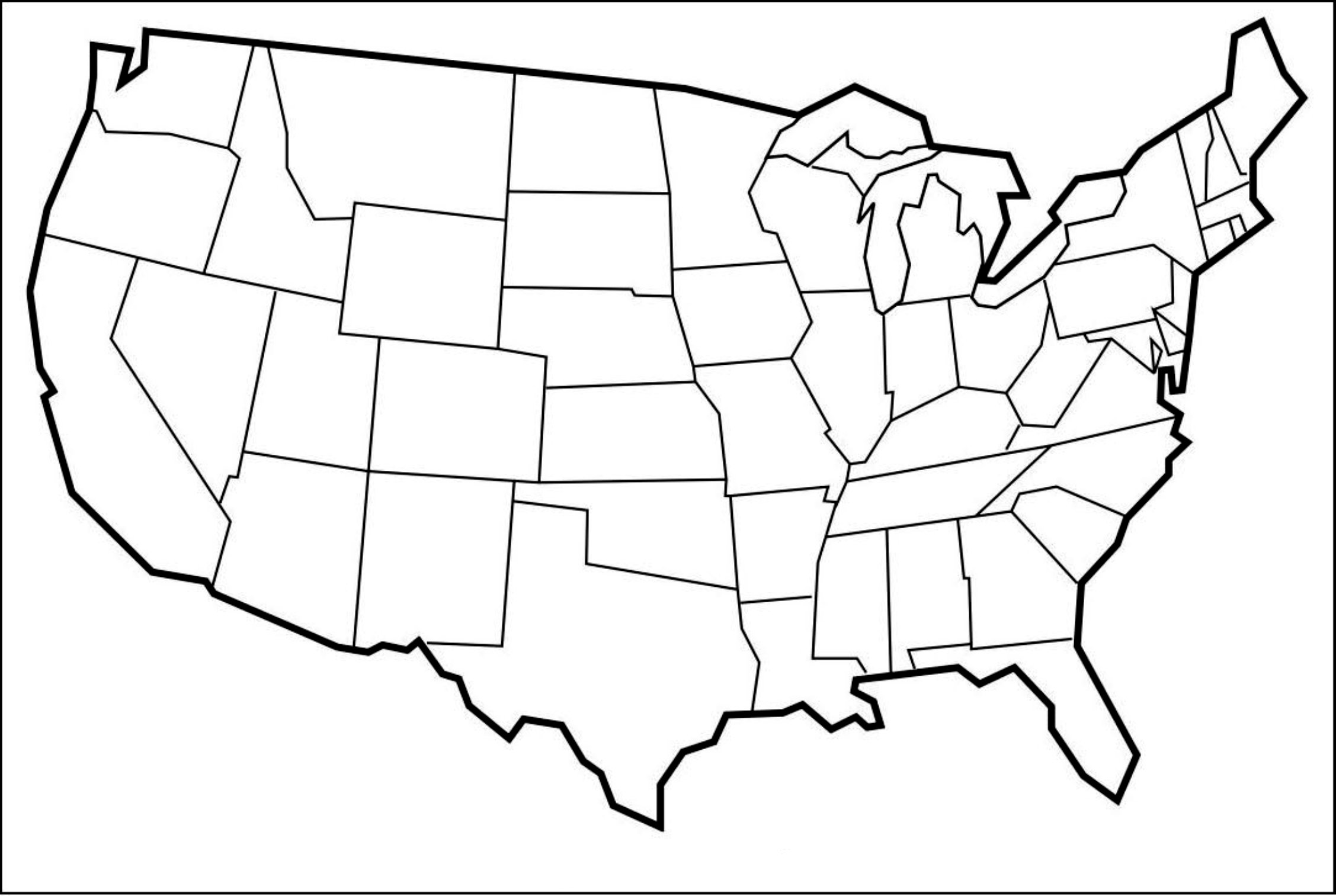
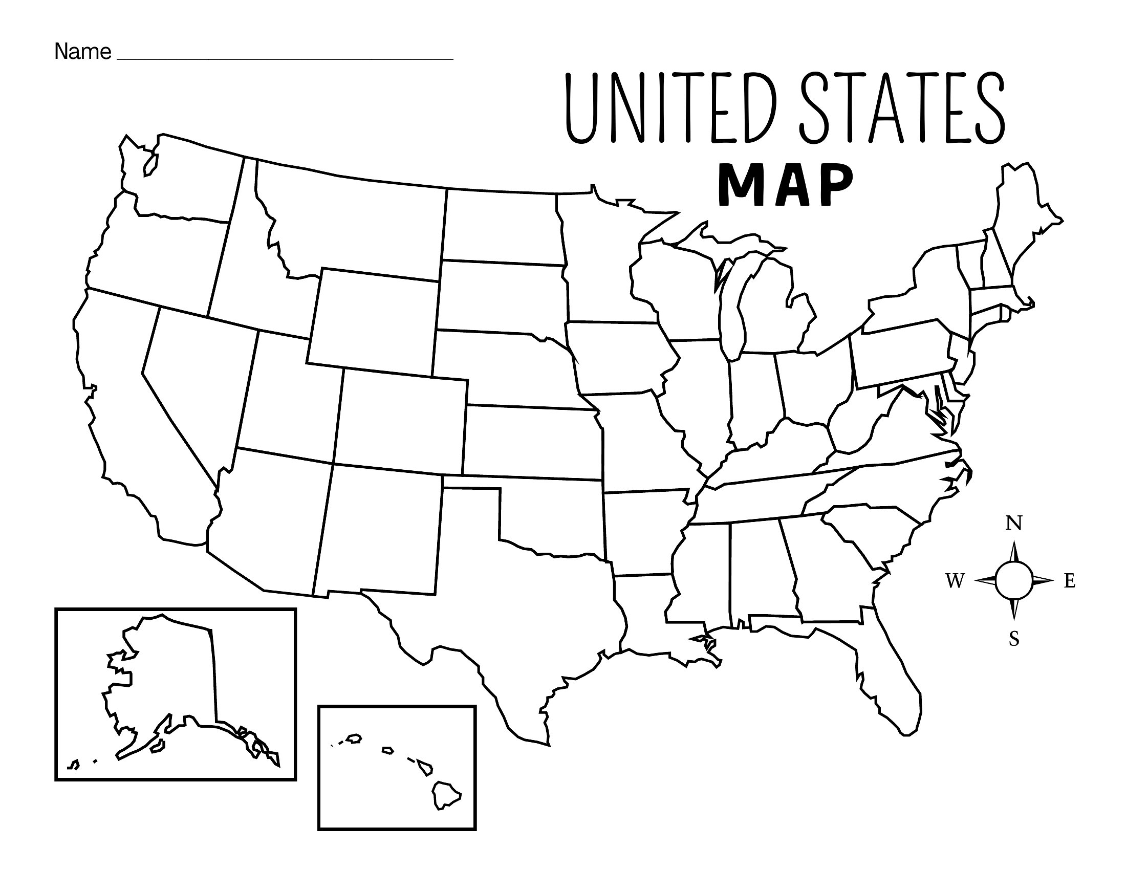
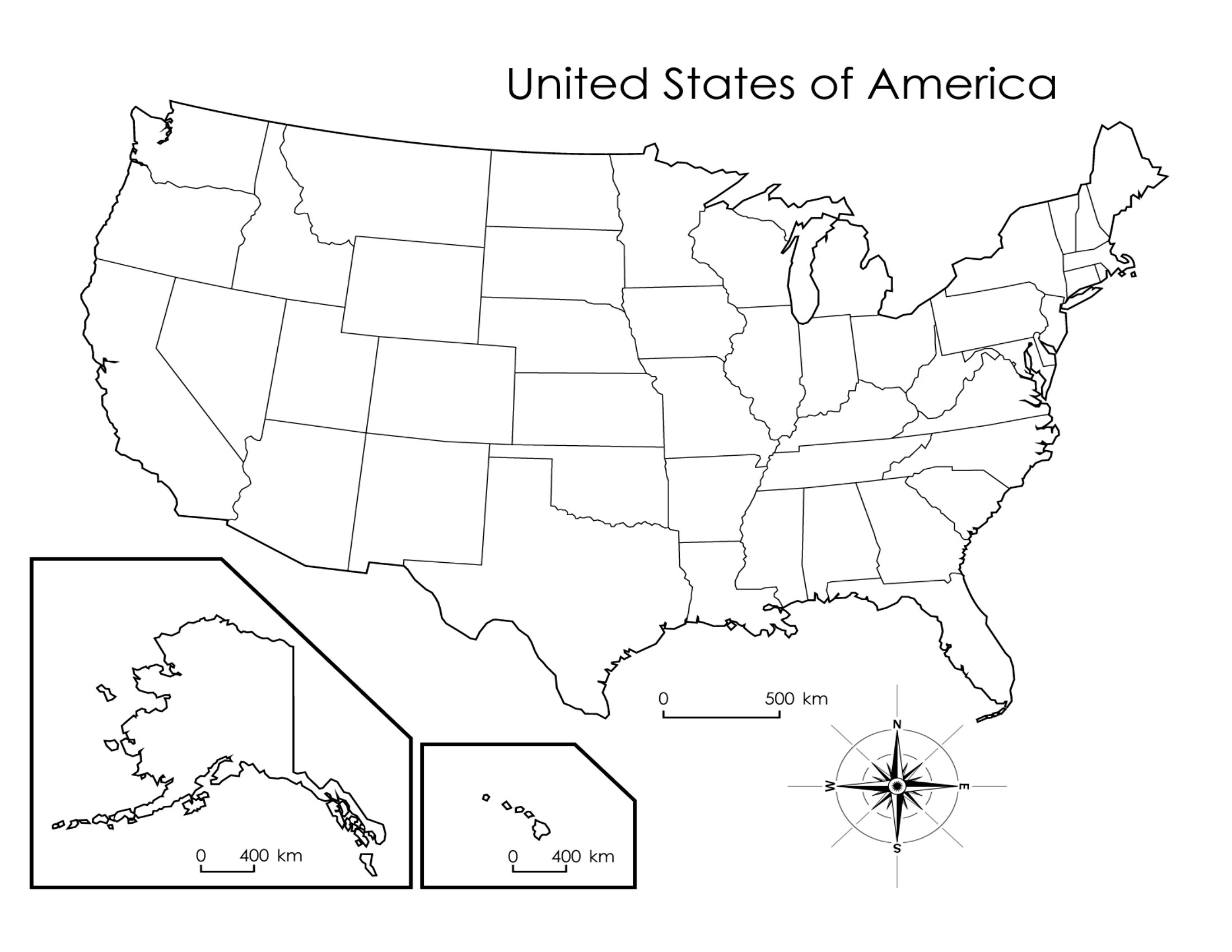
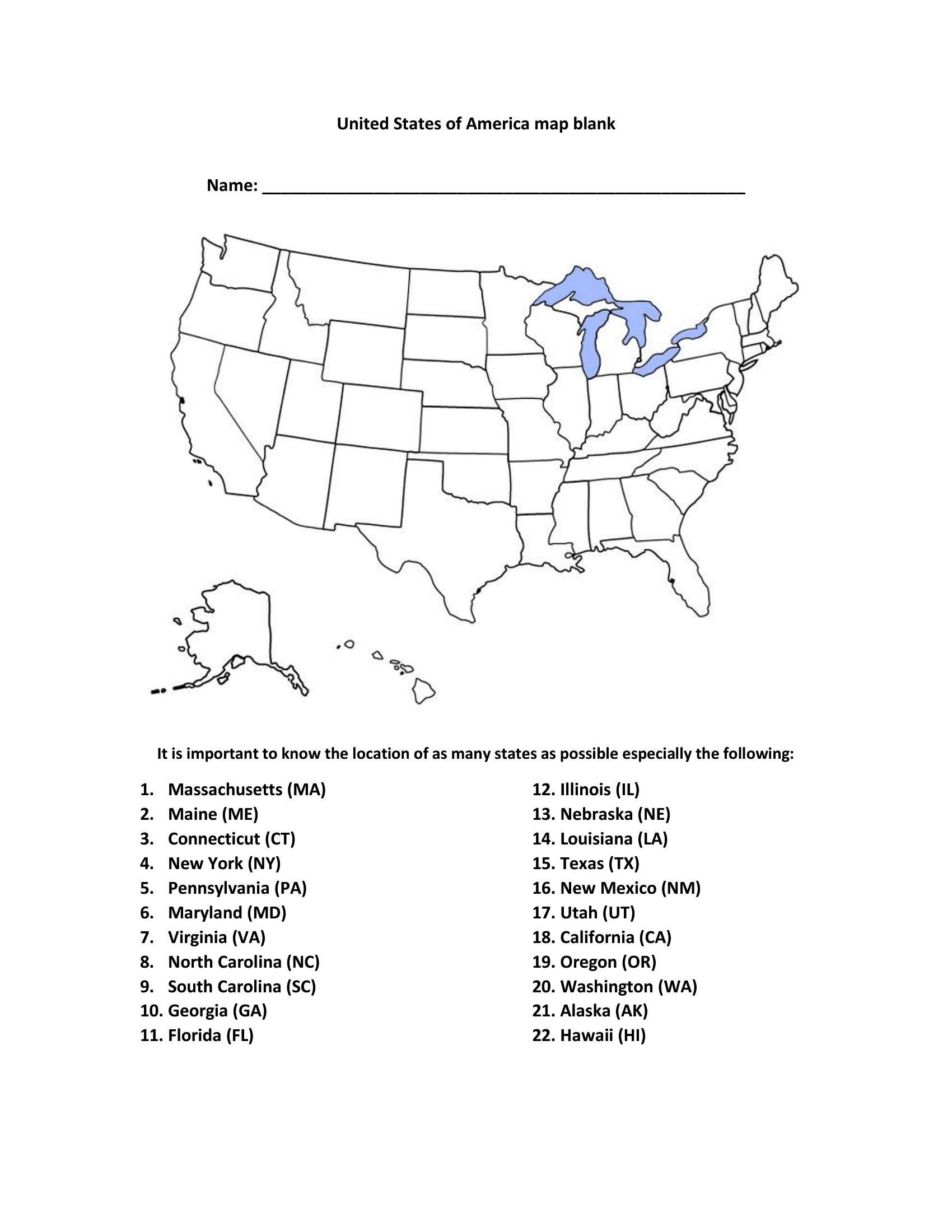
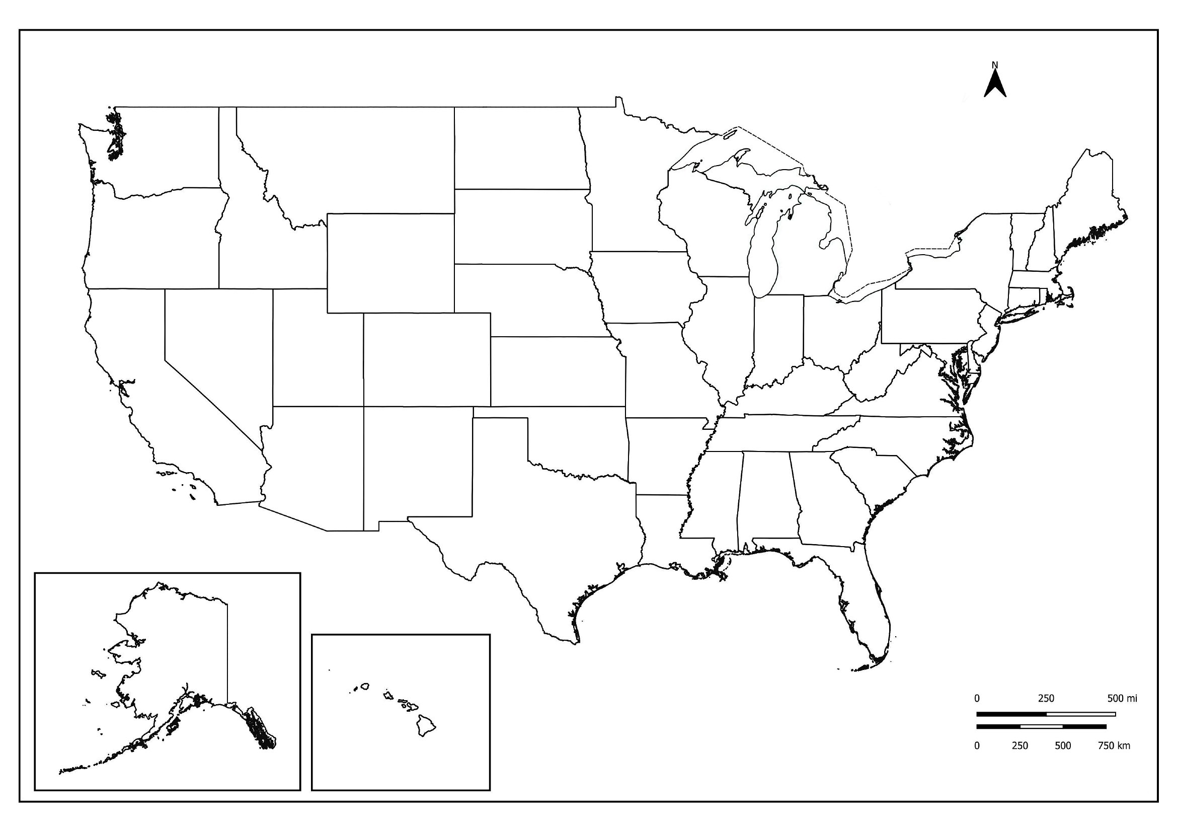
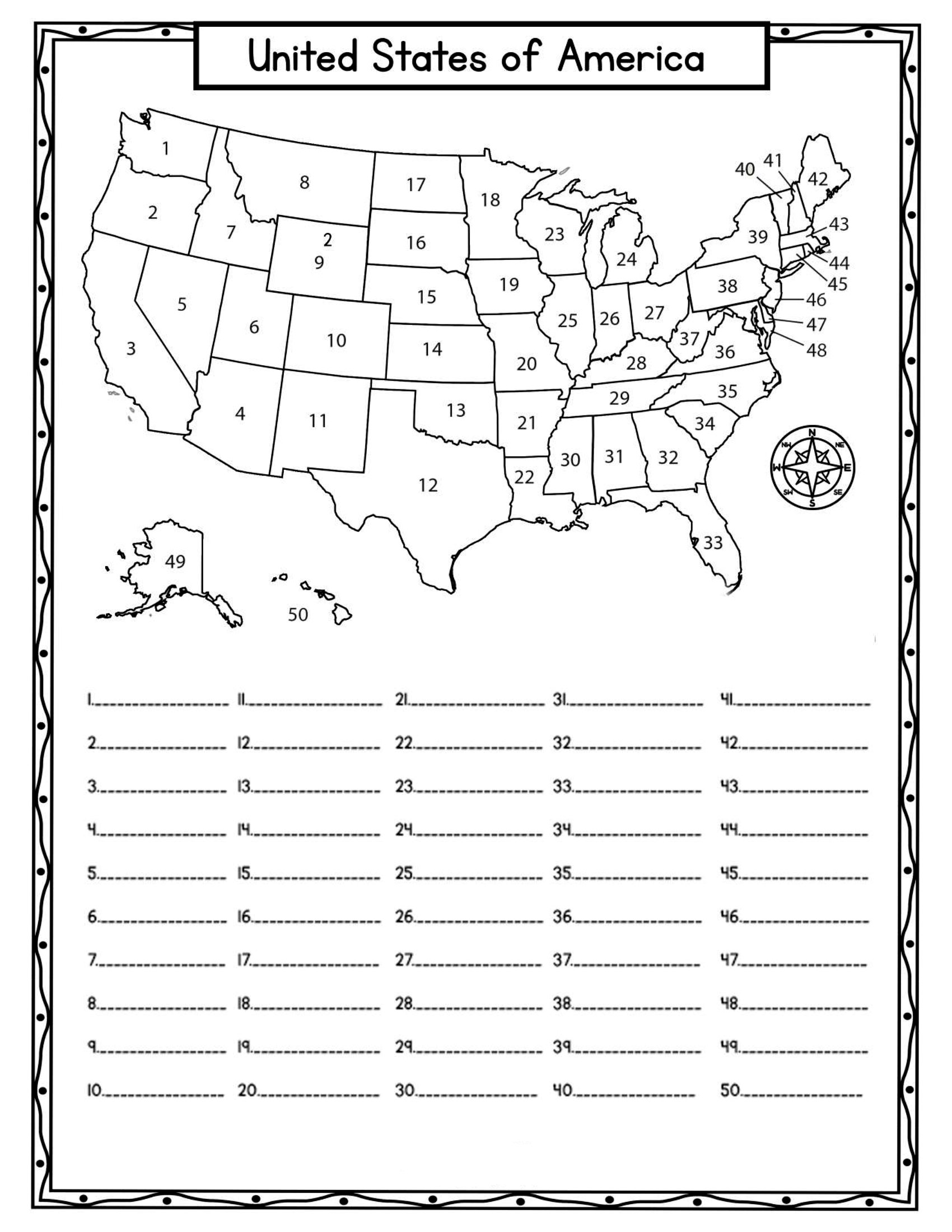
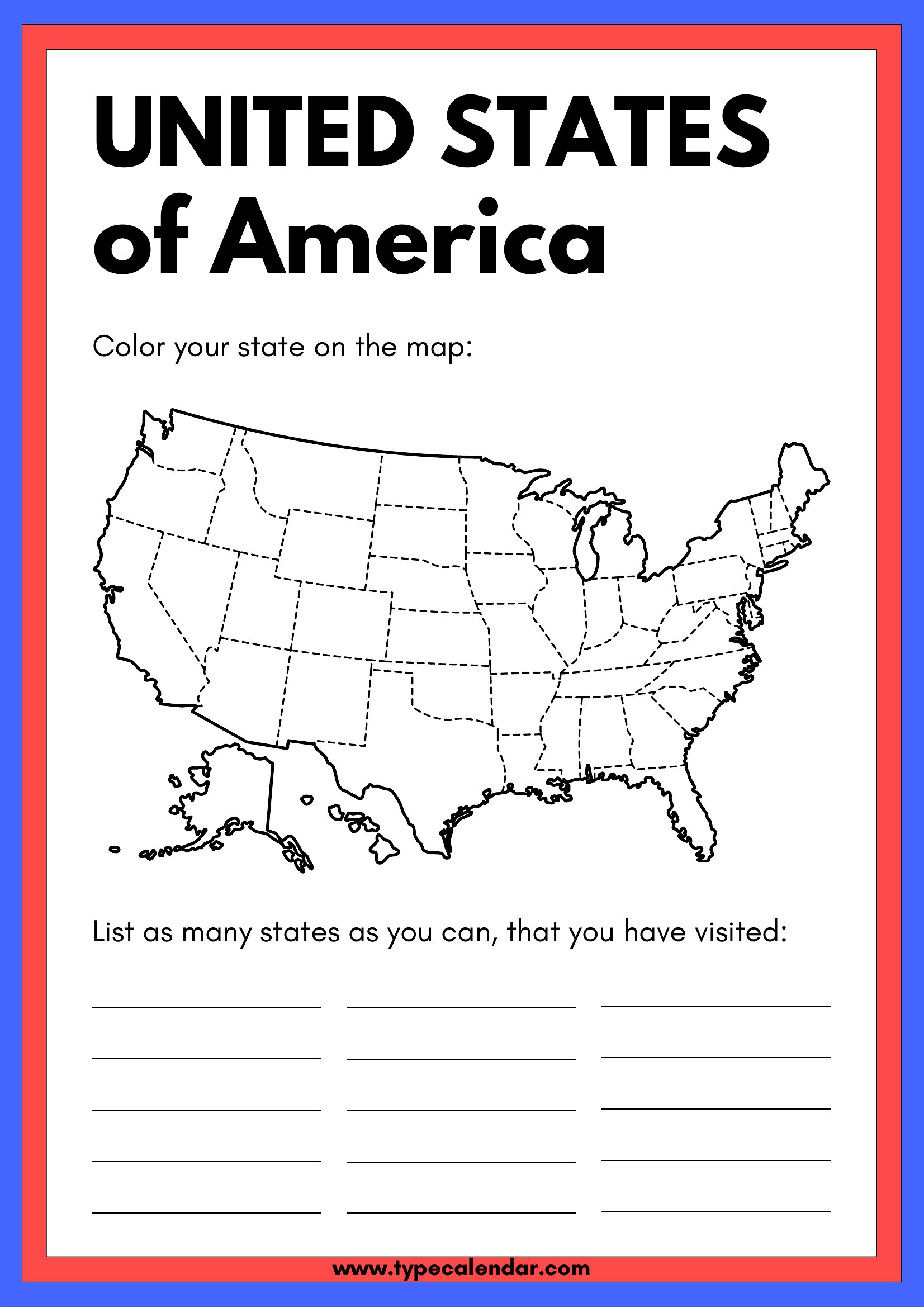
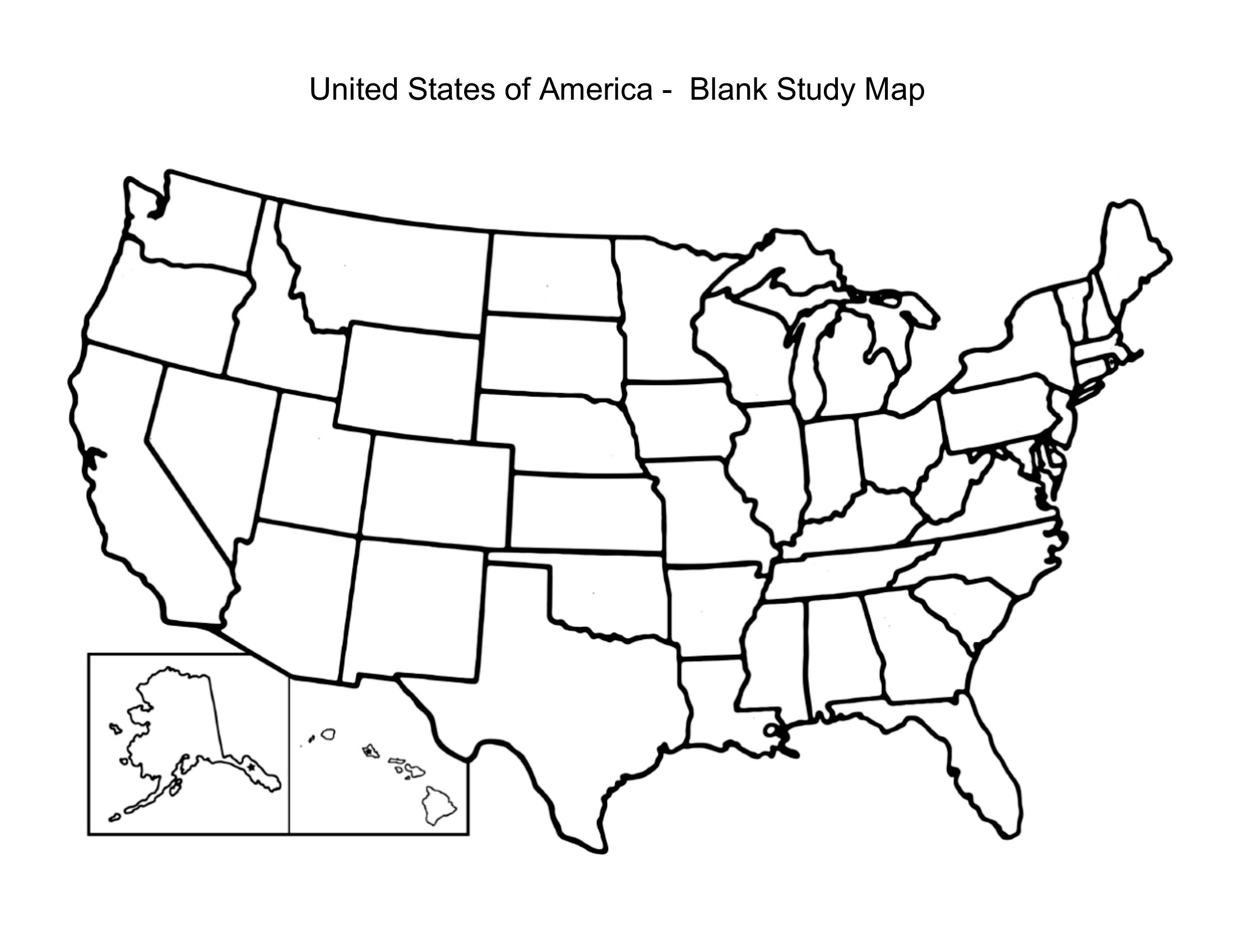
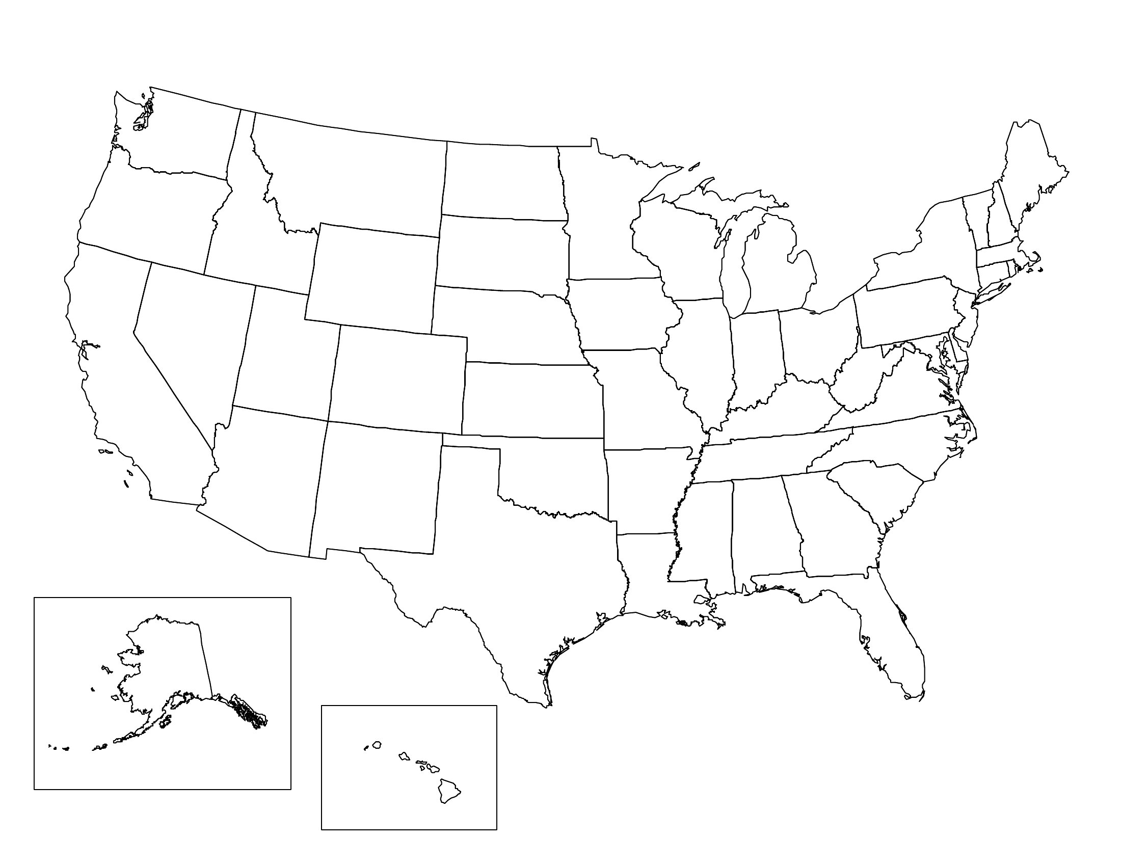
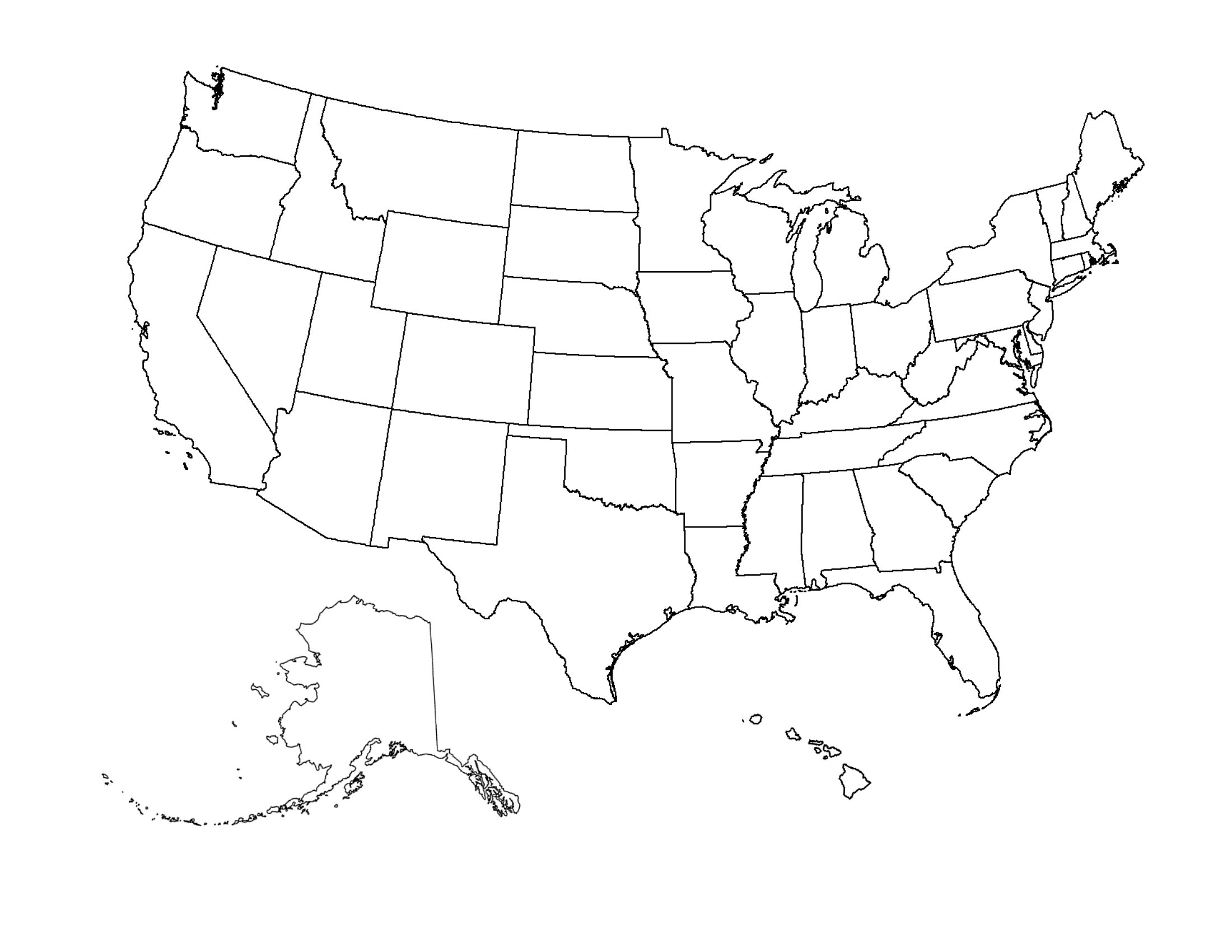
A blank map of the United States turns into whatever a lesson or project needs, from labeling state capitals to shading election results or planning a road trip. This set of 43 maps includes outlines with and without state borders, some with name lines and some left completely open. Teachers, students, and trivia fans can hand one out, fill it in, and turn rote memorization into something hands-on.
Every map prints cleanly as a PDF on standard letter paper, with crisp outlines that hold up to coloring, markers, or pencil. There's nothing to install or set up. Print a class set, grab a few for the kids, and start filling in the fifty states.
When to use this Blank US Map template
- High school geography teachers using these maps to assign state capitals or regional climate zones without giving students the answer key first.
- College political science students analyzing 2024 election results by coloring in swing states or drawing district boundaries for a mock primary.
- Travel bloggers planning cross-country road trips, marking scenic routes and must-visit national parks on a borderless outline for their audience’s trip itineraries.
- History museums creating interactive exhibits where visitors label key Civil War battle sites or Reconstruction-era statehood dates on a fillable map.
Which format should I download?
Since all 43 templates are provided only in PDF format, this is the best choice for printable, shareable, and annotation-friendly maps. Use PDFs for projects requiring durability—like classroom handouts or printed reference sheets—because they retain clarity when photocopied or projected. They’re also ideal for digital annotation tools if students or planners need to add notes directly, as most PDF viewers support text highlights or shapes. Avoid editable formats here; these maps prioritize simplicity and consistency for labeling tasks, not customization after download.
Choose from 43 Blank US Map Templates
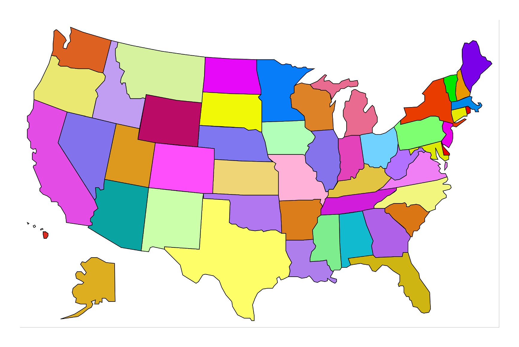
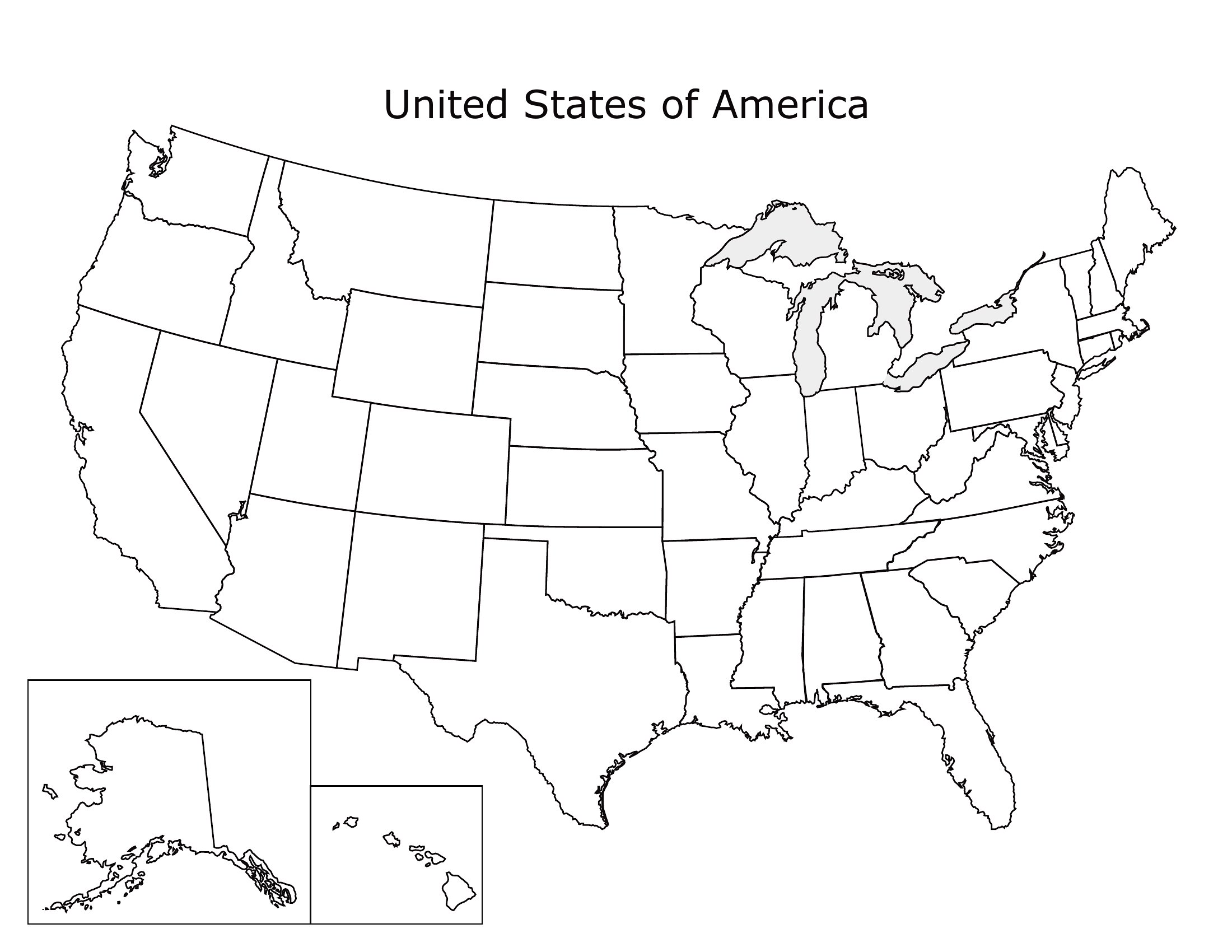
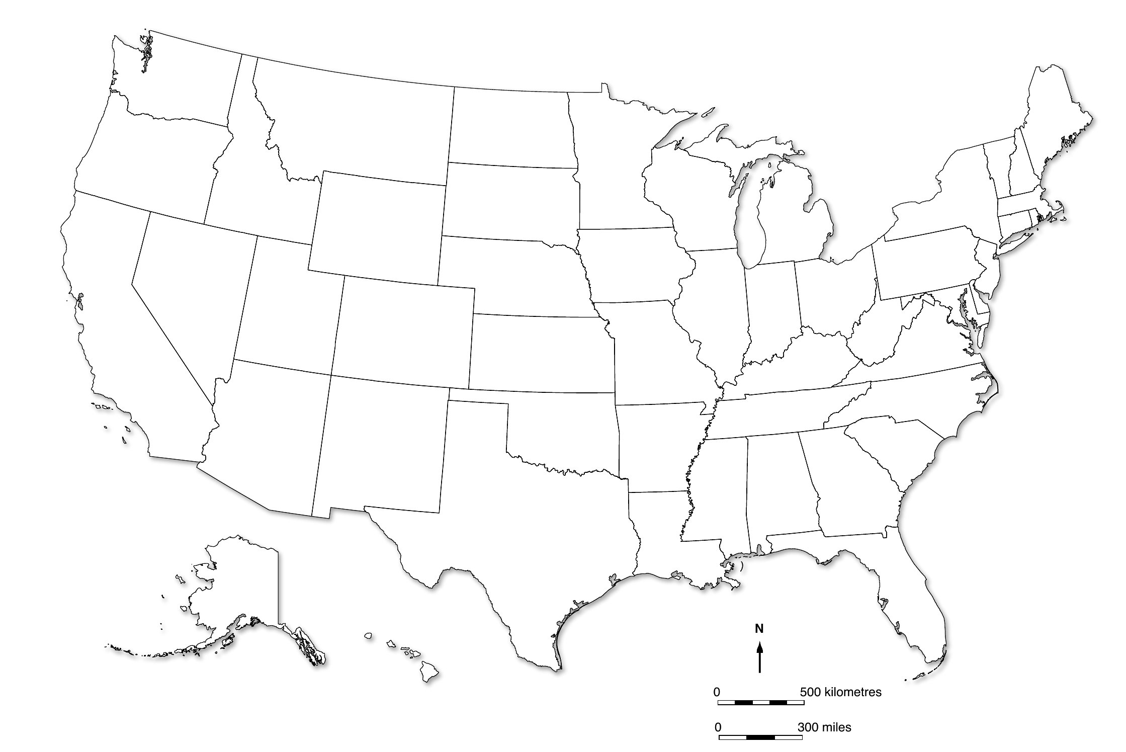
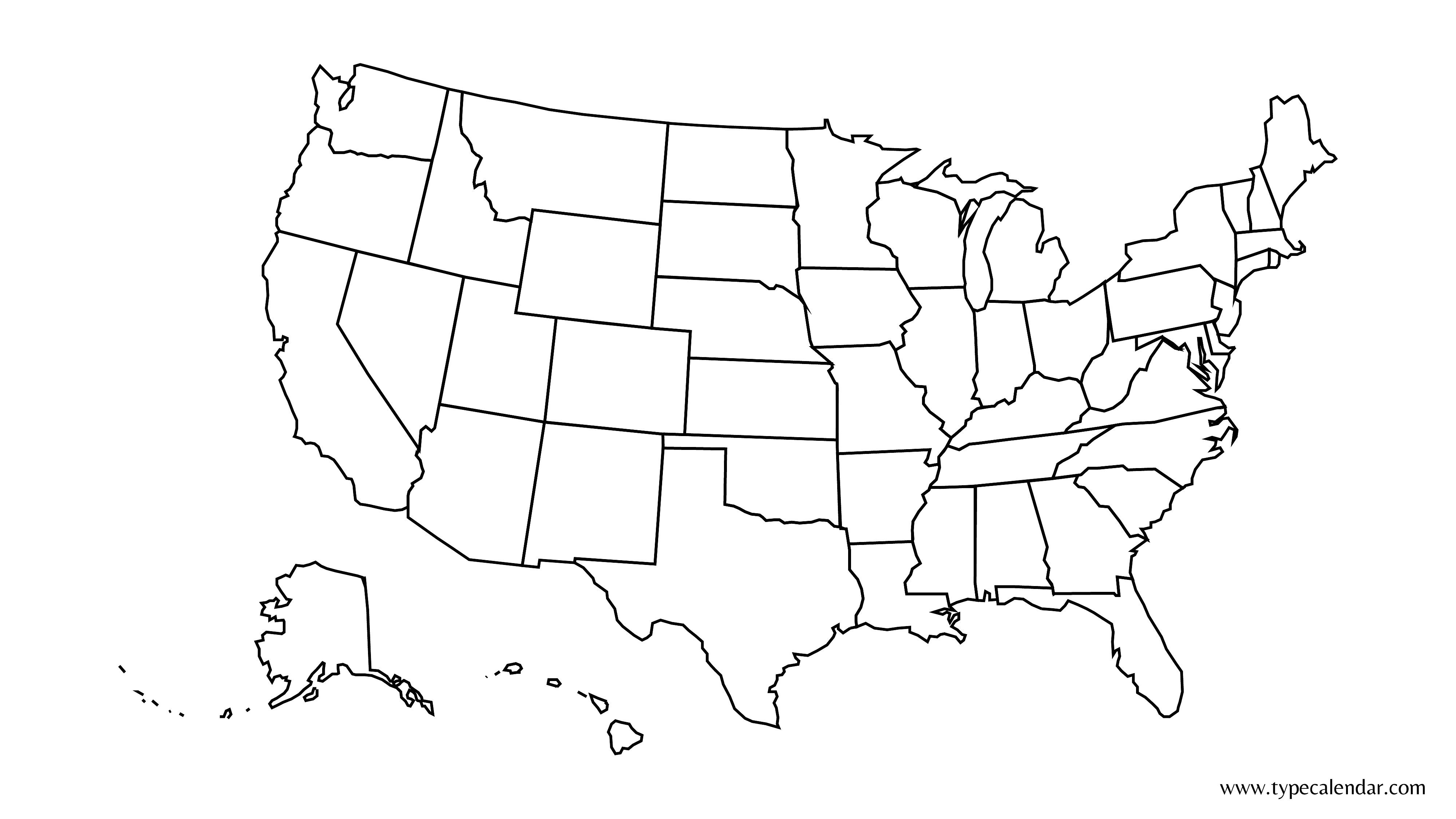
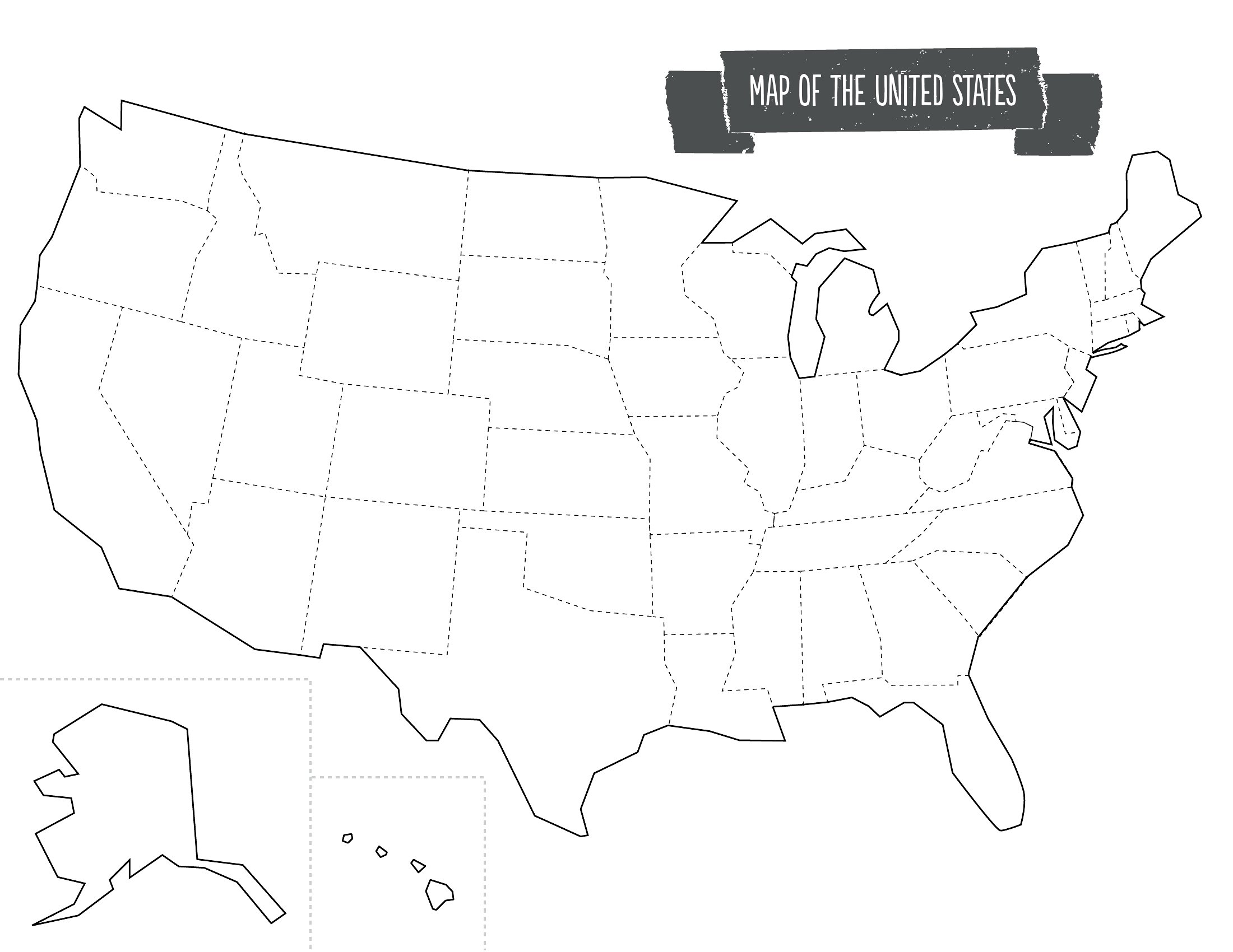
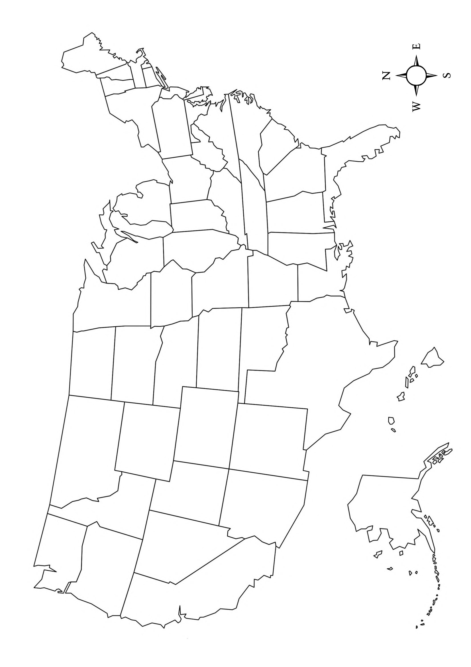
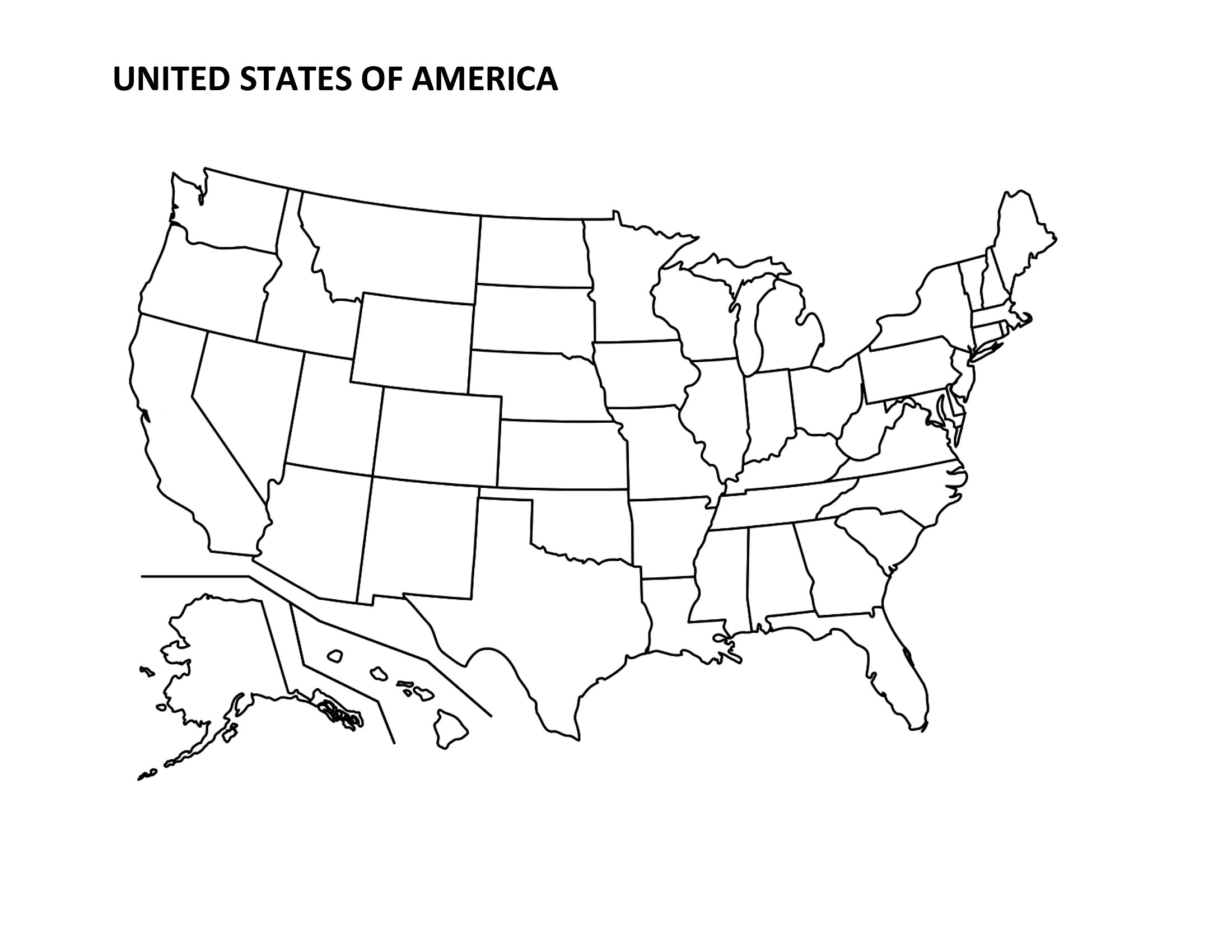
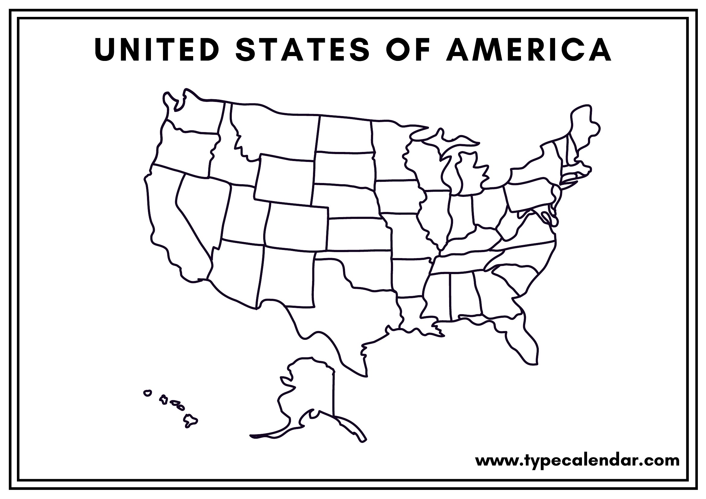
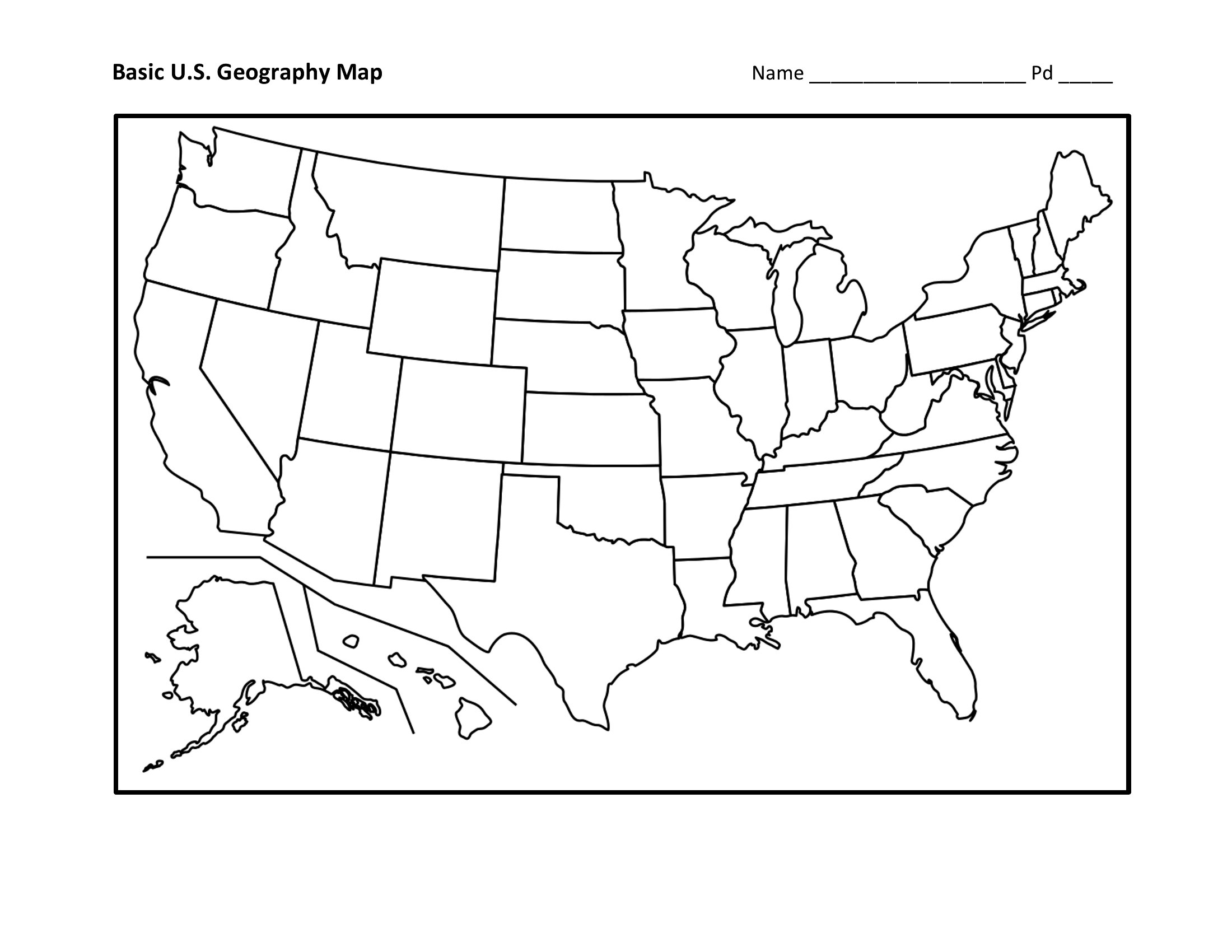
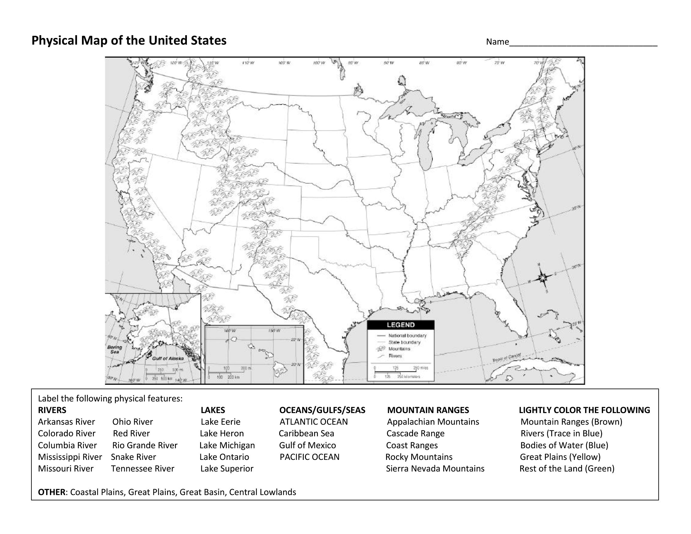
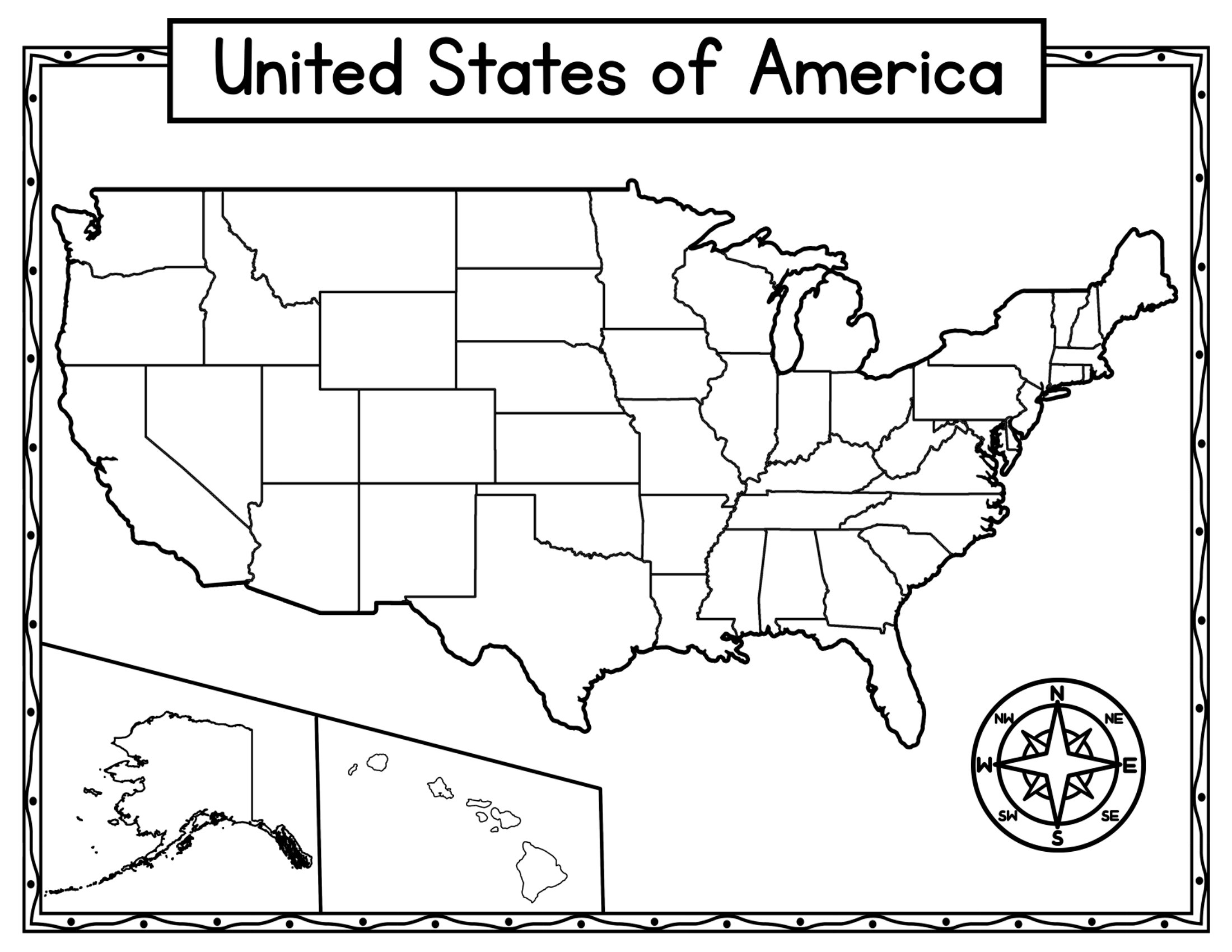
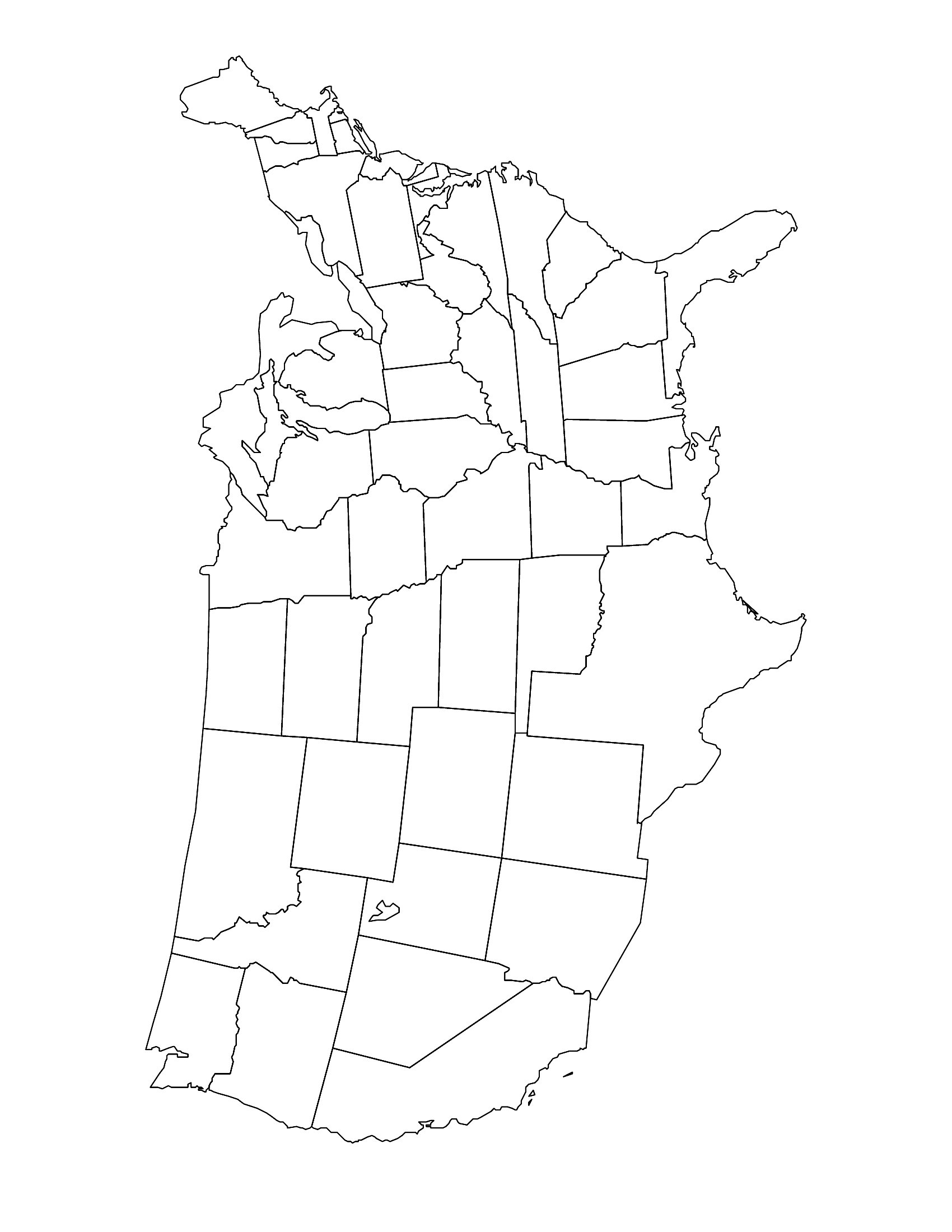
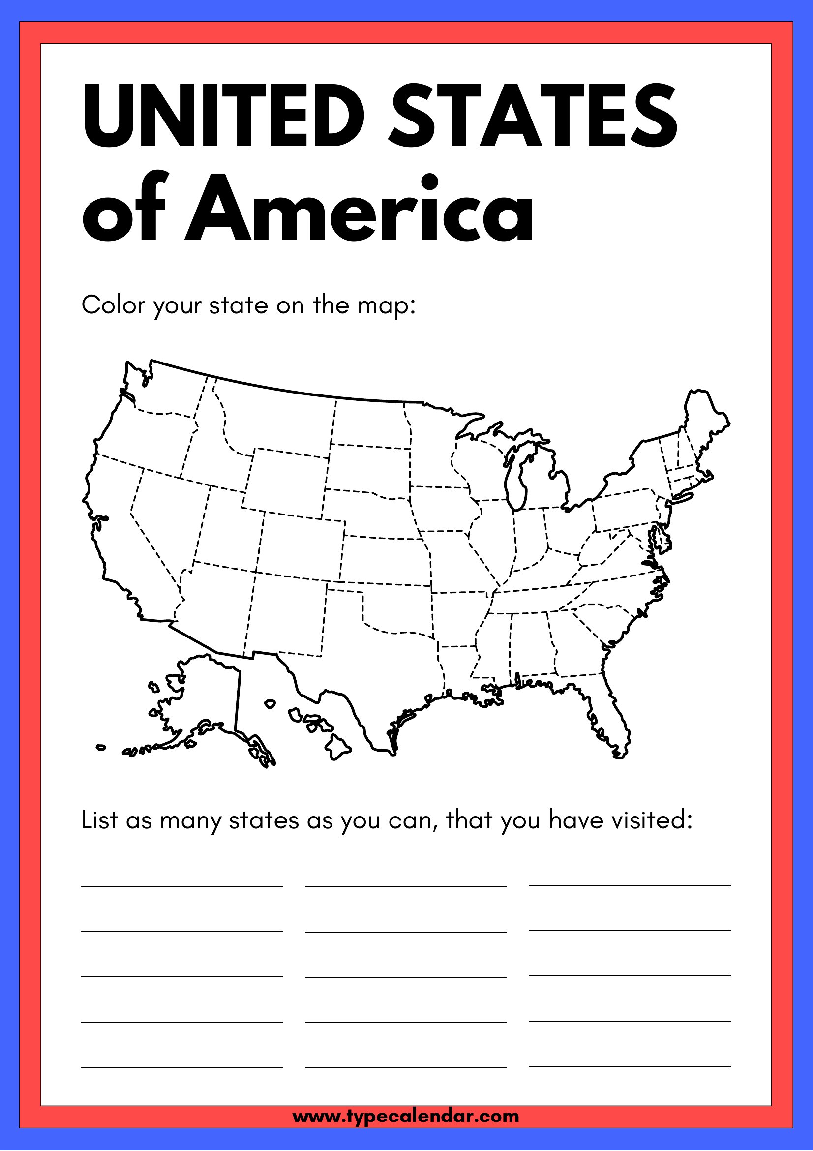
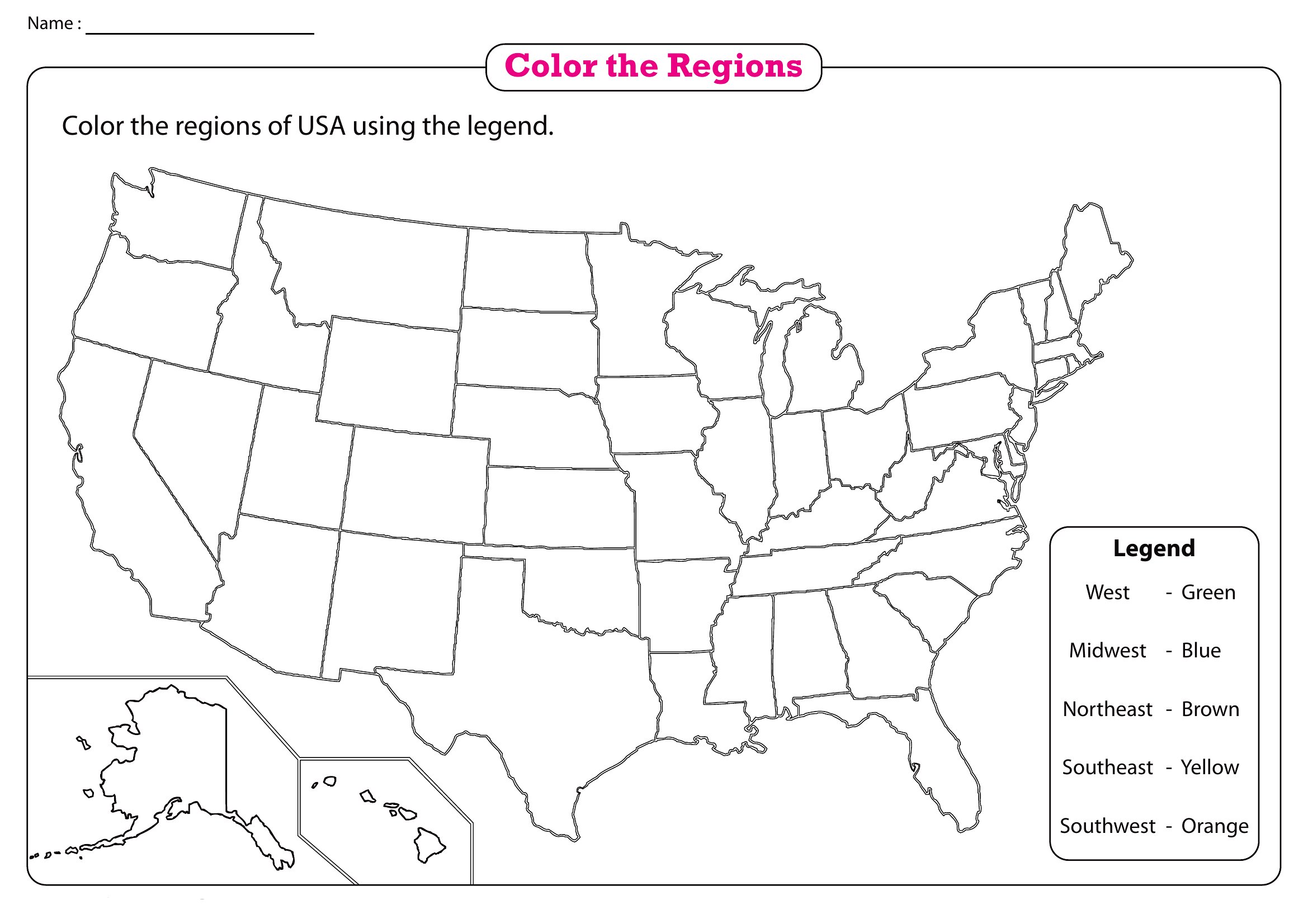
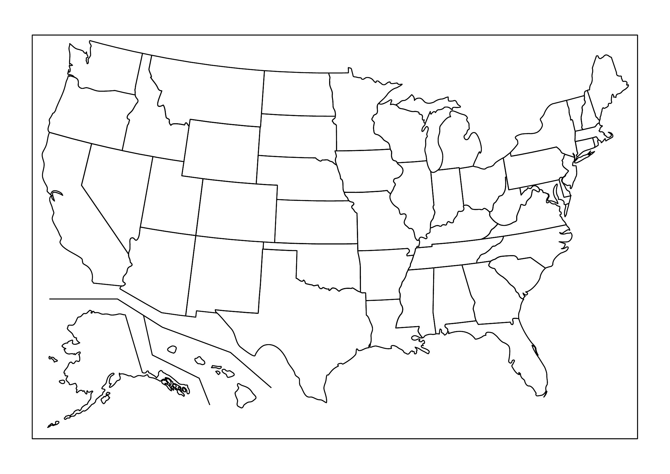
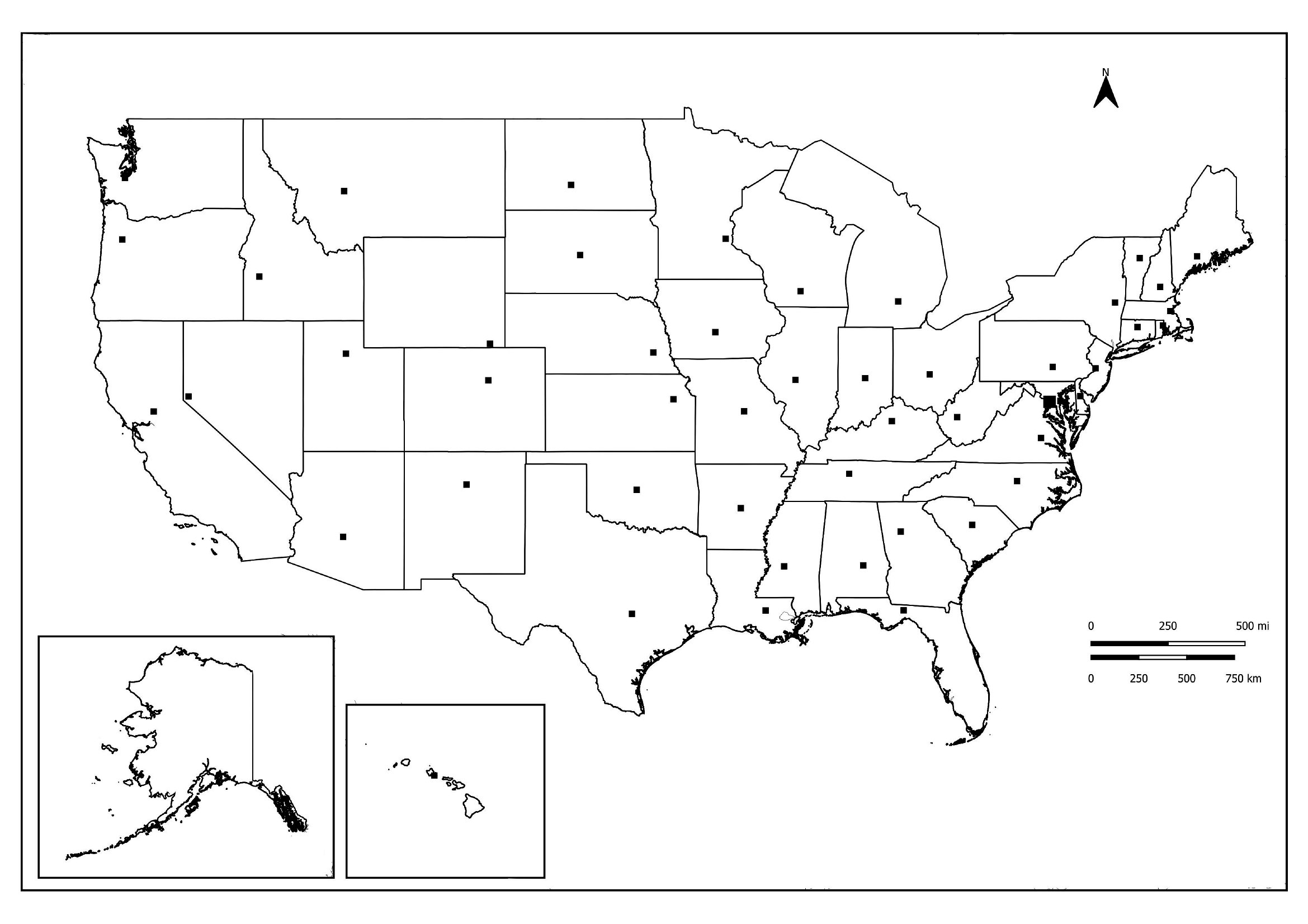
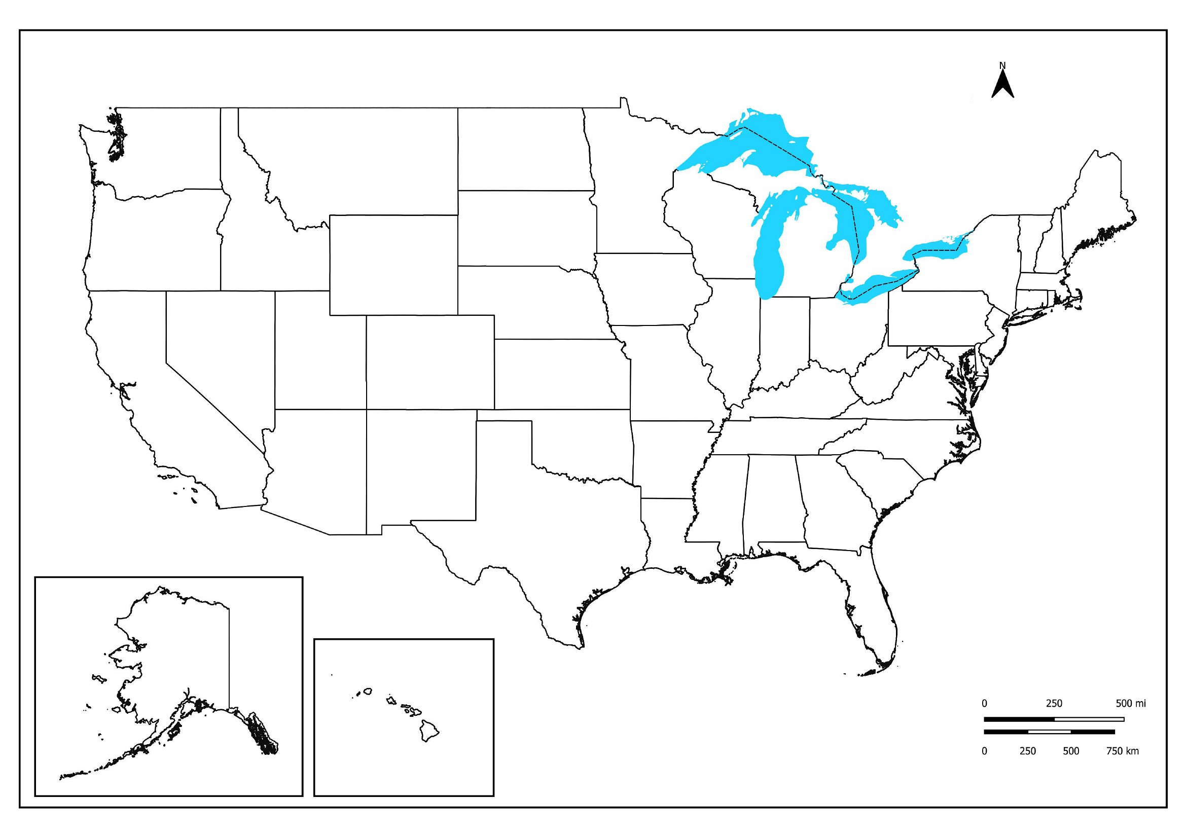
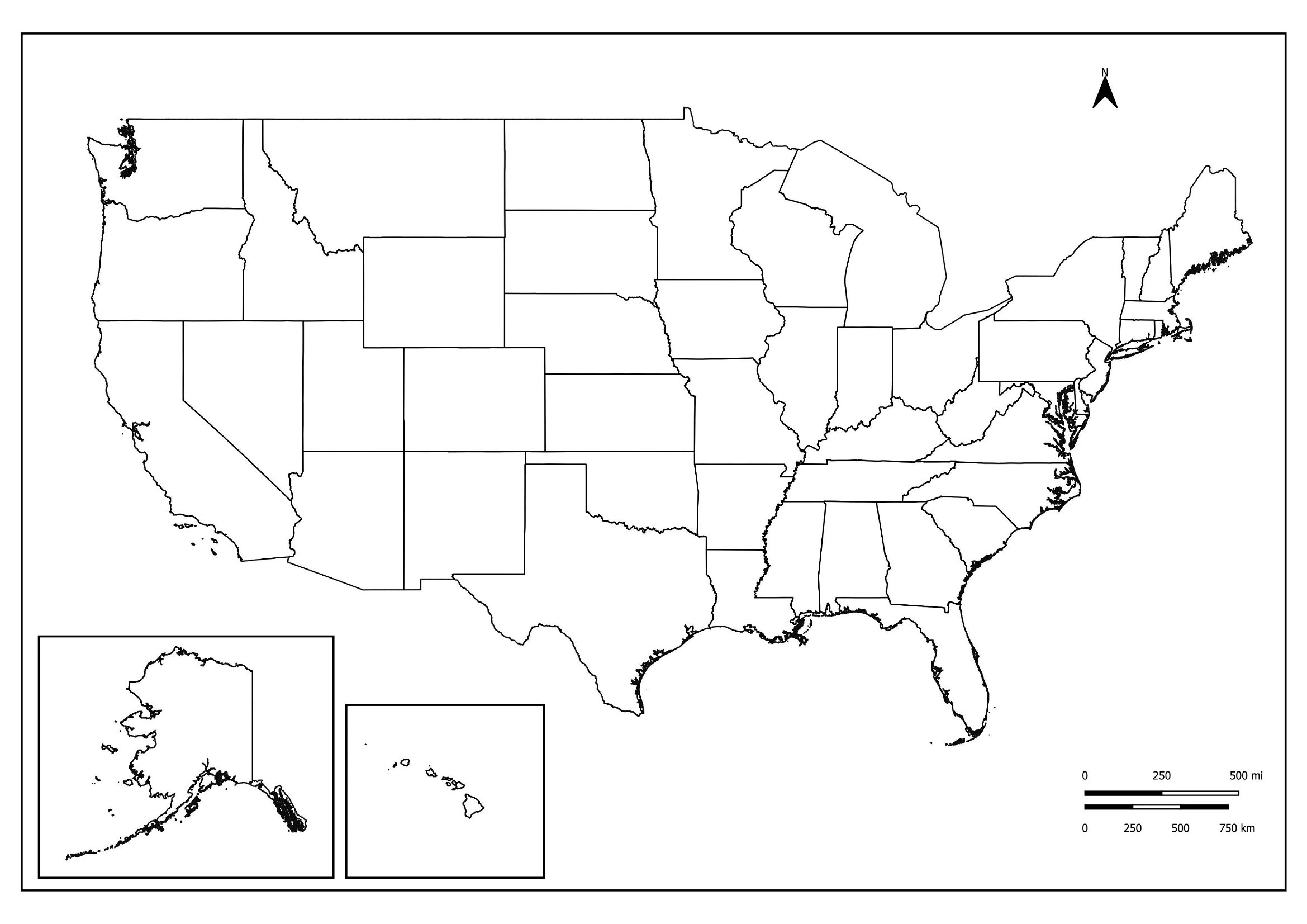
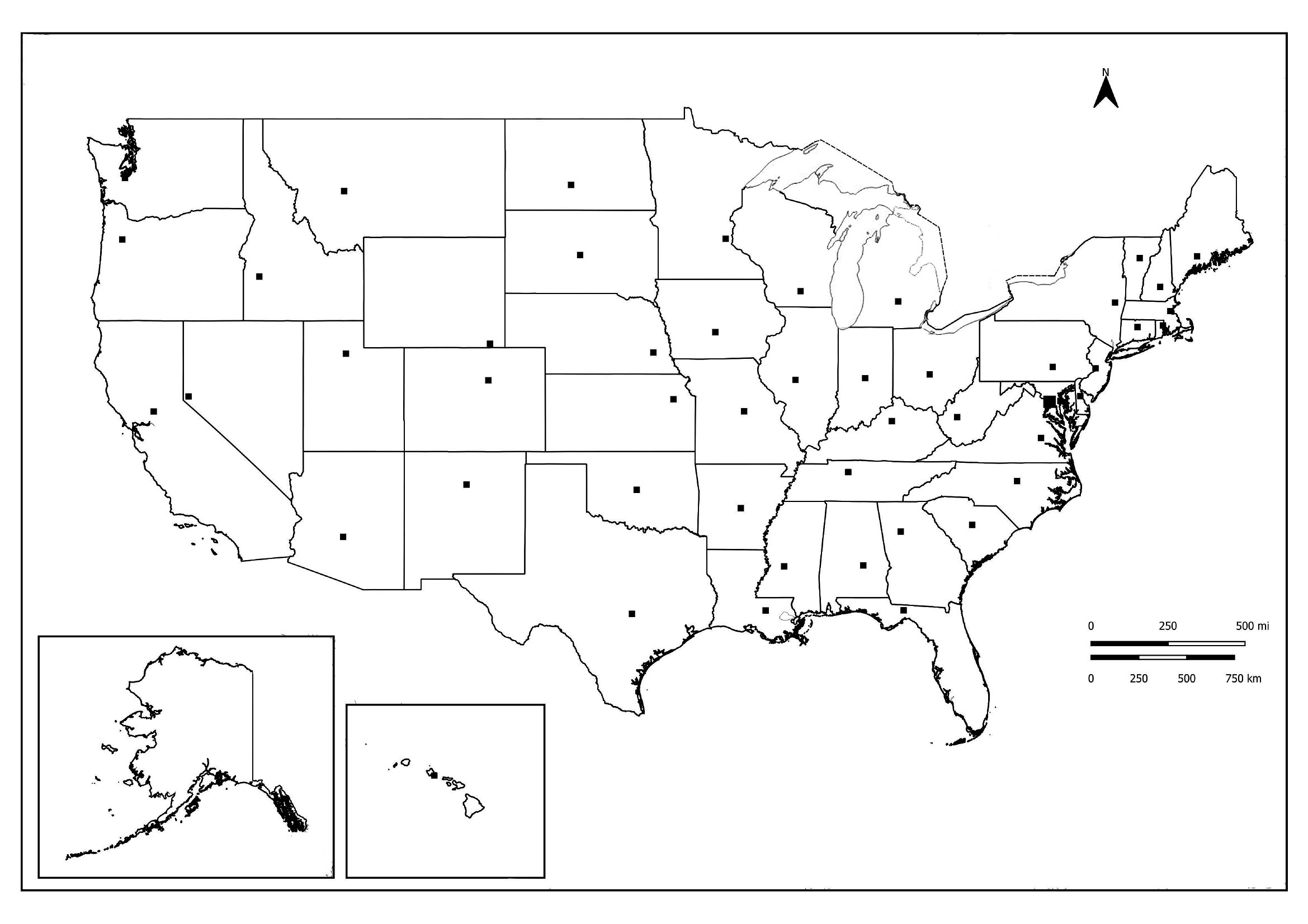
Blank Us Map Pdf
How to use this Blank US Map template
Can I use these maps for a standardized test prep workshop where students practice identifying rivers or mountain ranges?
Yes, these blank maps work well for test prep because they include outlines with and without natural features like rivers or mountain ranges. Start with the most detailed version for initial study sessions, then switch to borderless maps for timed practice. The variety helps reinforce both geography and spatial memory without relying on pre-filled answers.
What’s the difference between the ‘name lines’ and ‘completely open’ maps in this collection?
The ‘name lines’ maps include faint outlines of state names but no capitals or cities, helping learners trace and spell state names correctly. The ‘completely open’ maps are ideal for advanced students or self-study, as they require recall of everything—names, borders, and key locations—without any visual aids. Use the former for guided practice and the latter for assessment or independent work.
Are there maps in this collection that show time zones or international borders for a project on US-Canada trade?
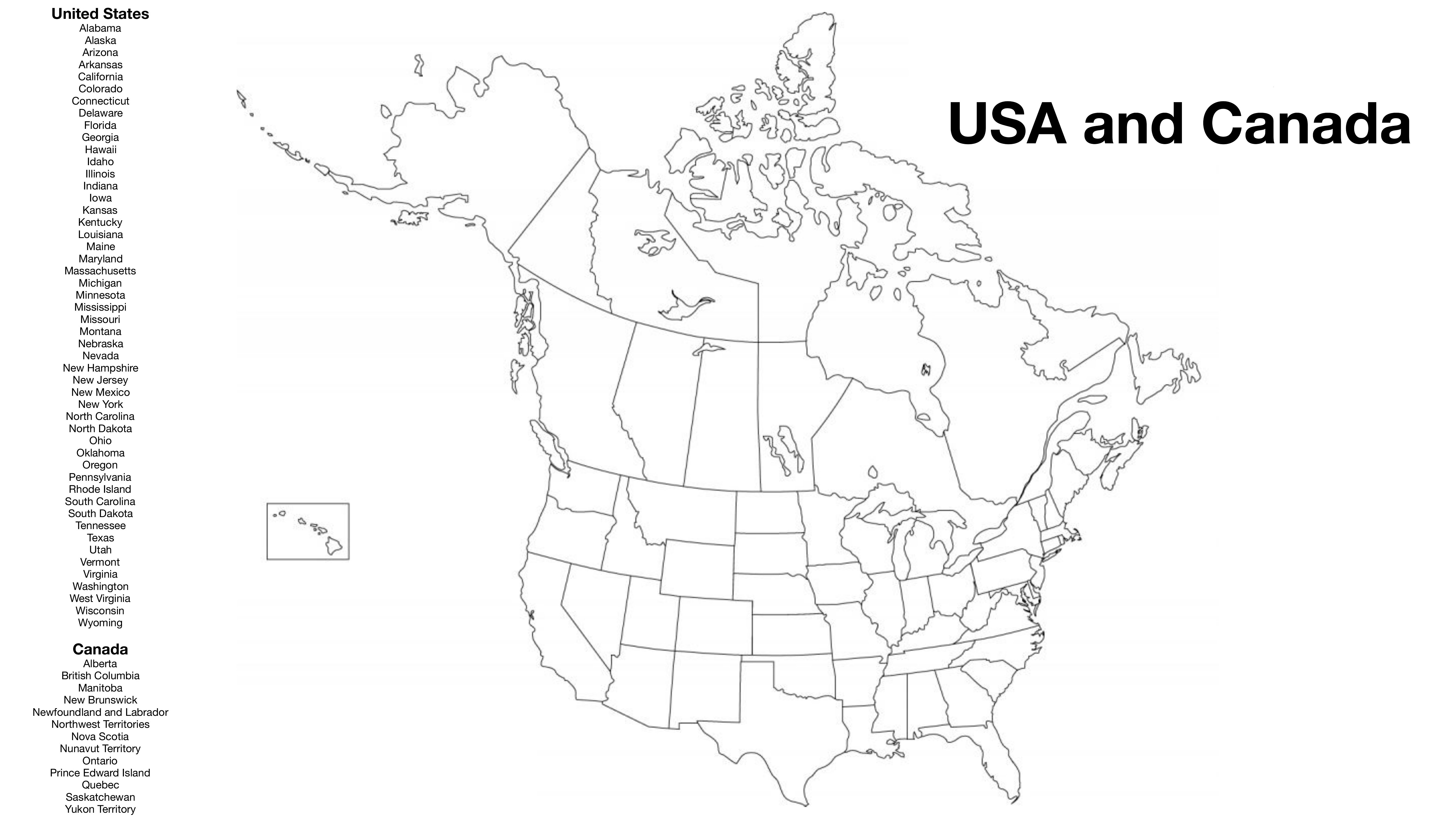
No, this collection focuses on domestic US geography and doesn’t include time zones or international borders. For a project on US-Canada trade, you’ll need a separate world or North America map. However, these templates include outlines with state borders only, which can still pair well with a regional map if you’re highlighting trade routes between US states and Canadian provinces.
Comments
Join the conversation
Sign in to share your thoughts and leave a comment on this resource.